Wildfire Preparedness: UP42 and OroraTech Facilitate Geospatial Data Access with On-Demand Sensor Tasking
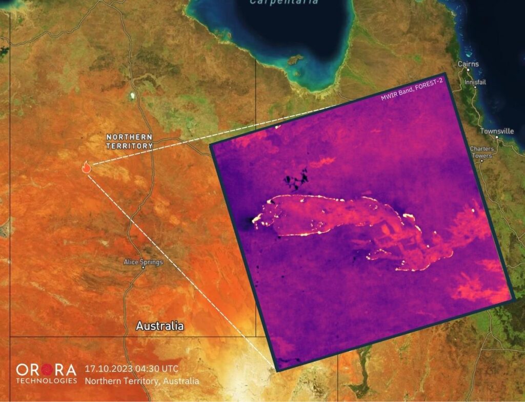
UP42 and OroraTech have signed a partnership agreement to grant easy and fast access to global high-resolution thermal-infrared imagery. OroraTech delivers low-latency, global coverage, near-real-time thermal data products.
