Featured from our blog
Read our newest blog posts, product features & fire stories
Stay informed with the latest updates and insights. Explore cutting-edge innovations, industry trends, and expert knowledge as we drive change in wildfire mitigation.

Featured from our blog
Read our newest blog posts, product features & fire stories
Stay informed with the latest updates and insights. Explore cutting-edge innovations, industry trends, and expert knowledge as we drive change in wildfire mitigation.

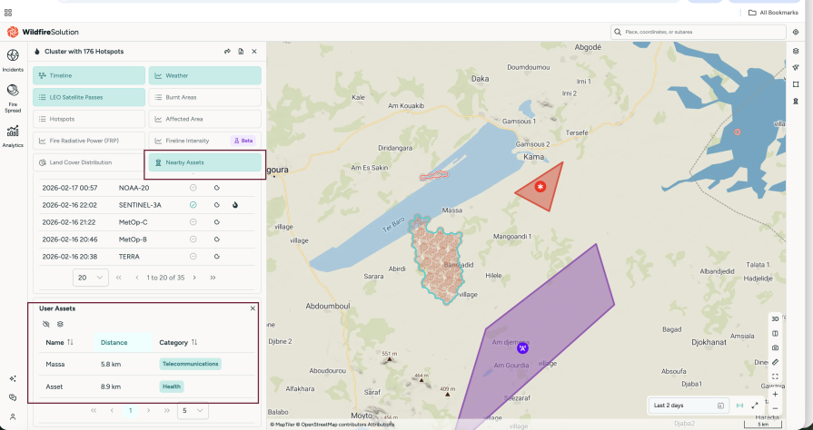
Blog post
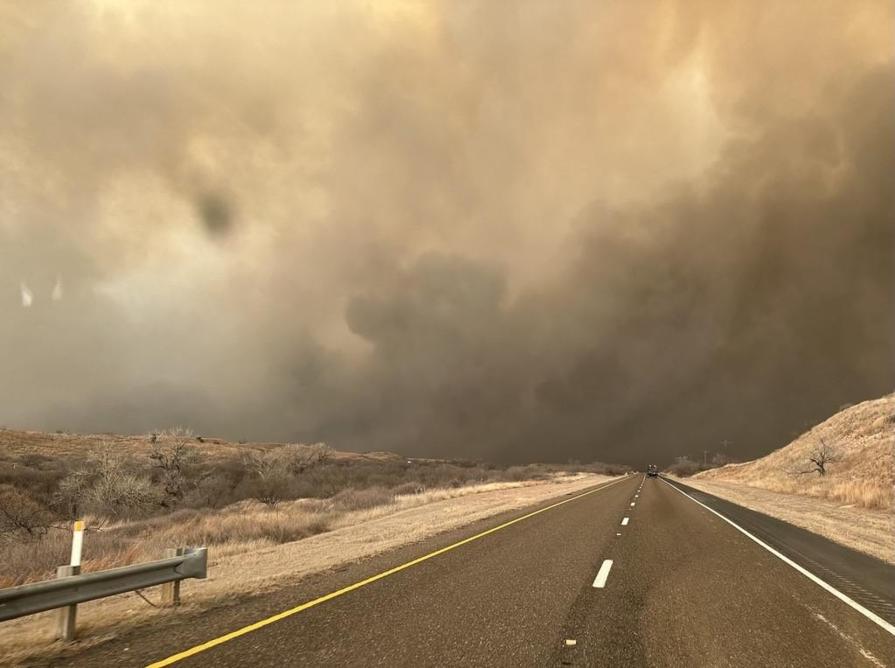
Blog post
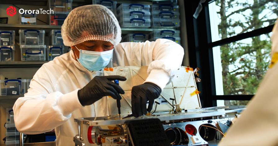
February 11, 2026
Don't Call Us a Unicorn - Yet
In 2026, OroraTech is evolving from a wildfire detection provider into the world’s thermal intelligence infrastructure. With the largest fleet of thermal satellites globally and a fully vertically integrated space platform, OroraTech delivers real-time thermal data that helps governments and organizations predict, prepare for, and respond to climate-driven risks faster and smarter.