EarthRanger and OroraTech Partnership Aims to Protect Wildlife and Its Habitats
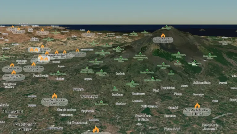
Munich, July 12th, 2022 – EarthRanger, a data visualization and analysis software used by governments, protected area managers, ecologists, and wildlife biologists across more than 250 sites and 50 countries in the world, has partnered up with NewSpace company OroraTech to offer its users a crucial wildfire detection and monitoring service from space.
“Wildfires are one of the biggest drivers of climate change and a severe threat to ecosystems in protected landscapes.”
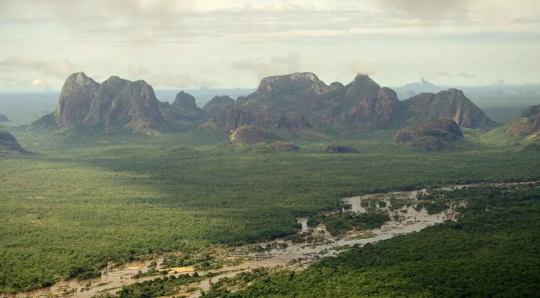
While wildfires are a natural part of the ecosystem, climate change and land-use changes are making these events worse, according to a recent report by the United Nations. From record-breaking wildfires in the Amazon to Australia and even in the Arctic Circle, uncontrollable and extreme blazes around the globe are having a devastating impact on communities, wildlife, and ecosystems. As such, conservationists and scientists having access to the tools needed to identify and reduce wildfires is essential.
“Actionable real-time data is key to saving lives, wildlife and precious landscapes” said Victor Lujan, Program Manager at EarthRanger. “By putting the power of cutting-edge technology such as OroraTech into the hands of those on the ground, our partners can pinpoint deadly fires before they get out of control, safeguarding the future of wildlife and their habitats.”
Free for conservation missions, EarthRanger collects, integrates, and displays all historical and available data and combines it with reports from the field to provide one unified view of collared wildlife, rangers, and any other assets whether on land or sea.
Munich-based OroraTech provides a holistic wildfire intelligence platform with data derived from over 20 external satellites in low-earth orbit and geostationary orbit. Earlier this year, the company launched their first own satellite equipped with a high-resolution thermal imaging camera, which will be joined by a fleet of 8 satellites by 2024 to greatly improve coverage around the planet. Governments and organizations are using the data to detect fires faster and gain a better situational overview.
“Wildfires are one of the biggest drivers of climate change and a severe threat to ecosystems in protected landscapes,” says Björn Stoffers, Co-founder of OroraTech. “We have been working with the US Forest Service in Niassa Reserve since 2020 and look forward to putting our experience to good use.”
Through the partnership, OroraTech’s data will now be accessible as an additional feature within the EarthRanger platform.