Continuous thermal monitoring
Leverage high-resolution thermal data to monitor land surface temperature globally. Detect heat anomalies, support climate resilience, and enhance environmental decision-making with precise insights powered by advanced satellite analytics.
Continuous thermal monitoring
Leverage high-resolution thermal data to monitor land surface temperature globally. Detect heat anomalies, support climate resilience, and enhance environmental decision-making with precise insights powered by advanced satellite analytics.
Stay ahead of climate challenges
Our Land Surface Temperature (LST) solution provides continuous, reliable, and highly detailed insights into surface heat patterns worldwide – supporting smarter decisions in agriculture, forestry, infrastructure, and climate monitoring.
Get insights into the dynamic conditions within your region

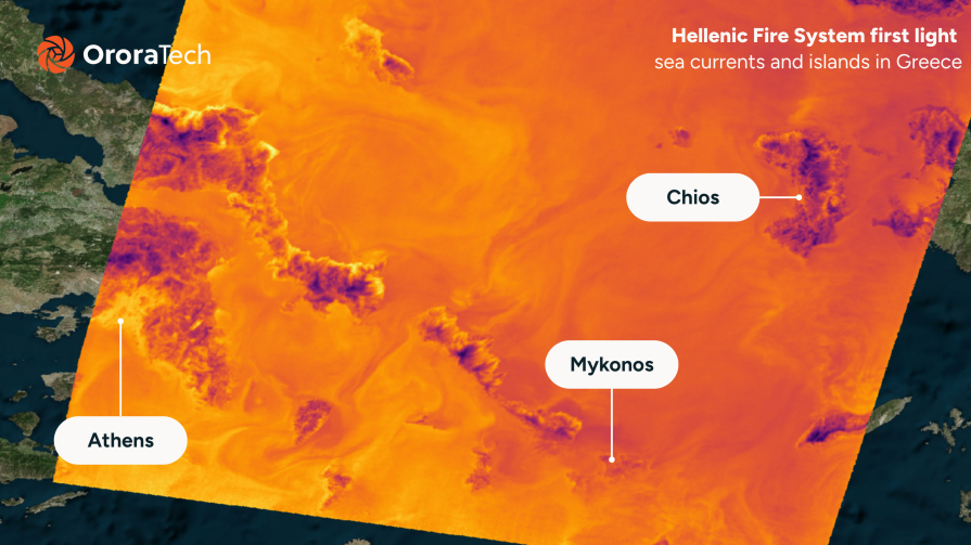
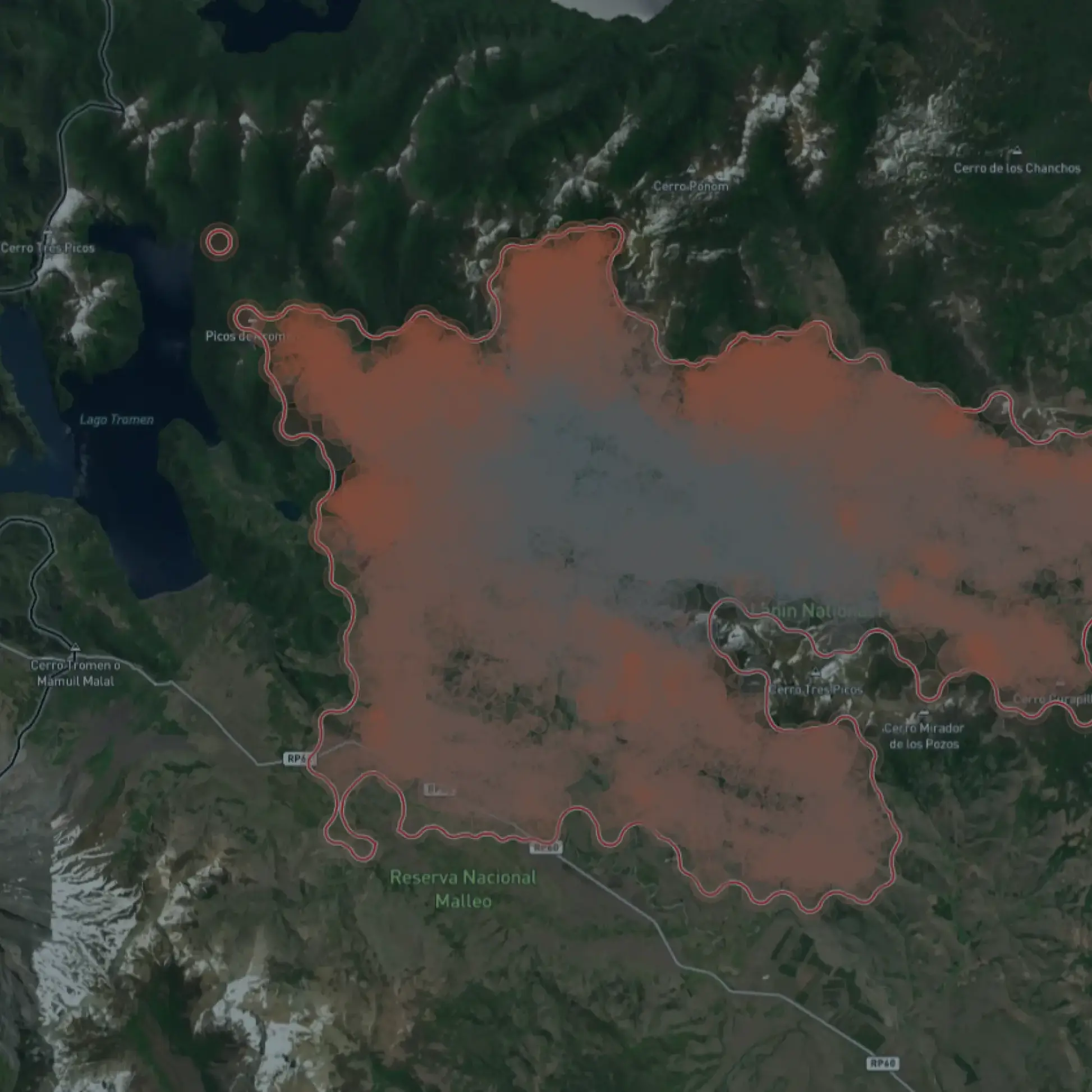
Global thermal data coverage
Get precise thermal data across the globe, including remote or hard-to-reach areas – updated consistently for ongoing environmental awareness.
Daily temperature monitoring
Access surface temperature data with twice-daily revisit capabilities to track heat trends and changes in near-real-time.

High-resolution thermal detection
Benefit from spatial resolutions of up to 80 meters, enabling targeted monitoring for agriculture, urban environments, and natural ecosystems.

High-temperature accuracy
Rely on land surface temperature measurements with an accuracy of up to 3K, ensuring dependable data quality for scientific analysis, risk assessment, and precision-driven applications.

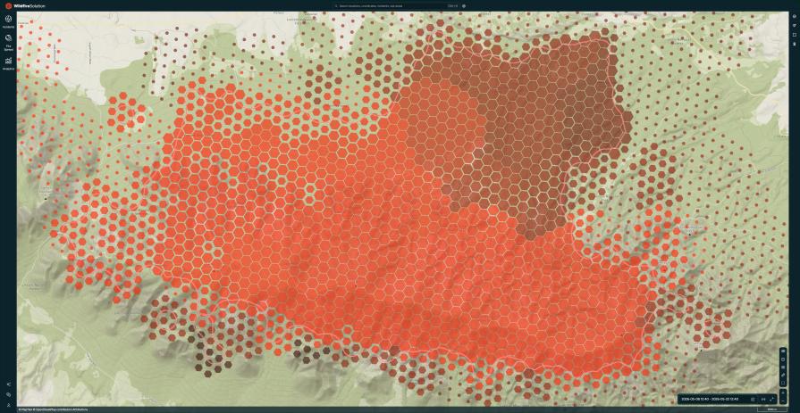
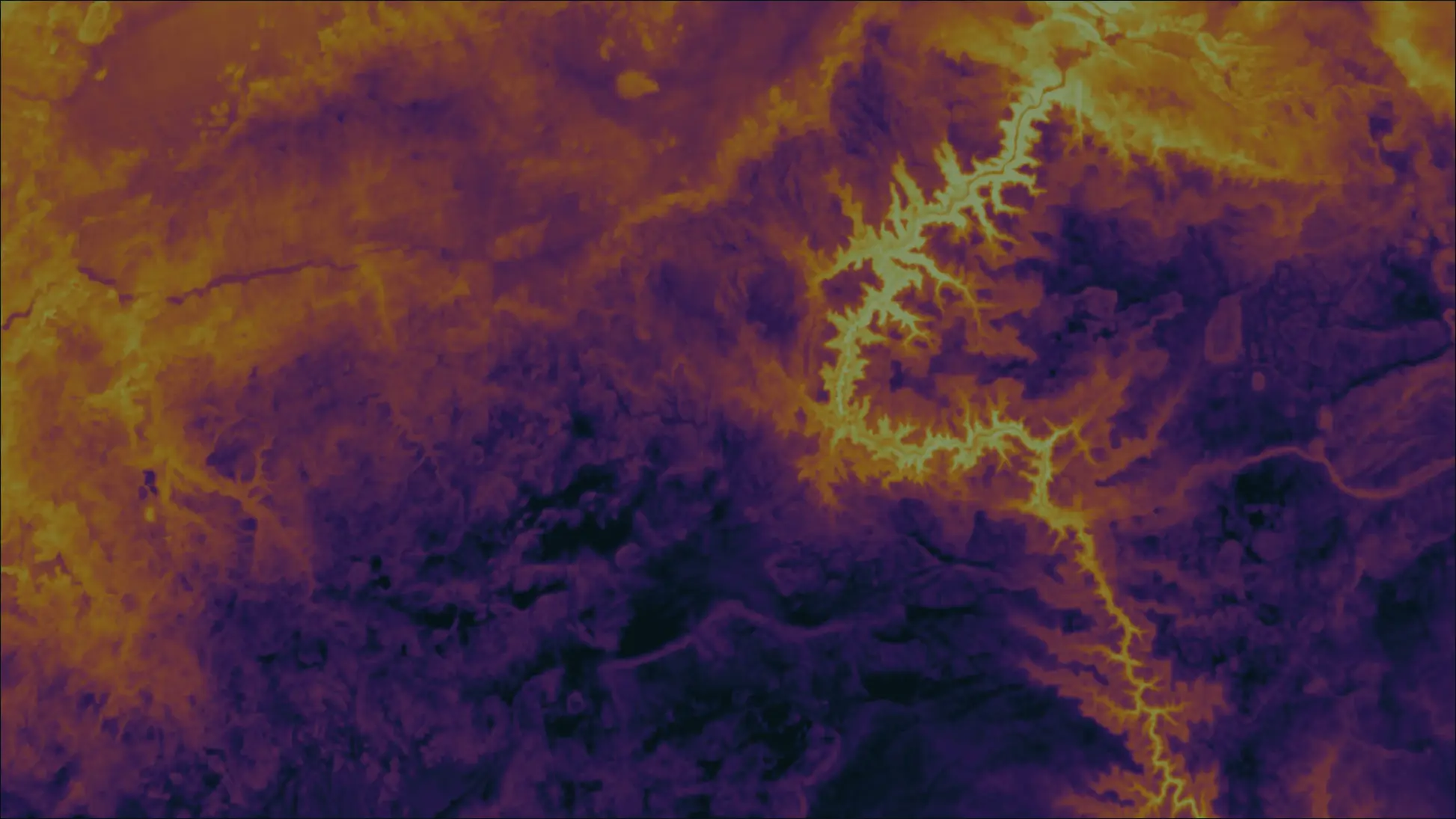
Detect anomalies early
Identify unusual temperature patterns before they become a threat – supporting fire prevention, drought mitigation, and infrastructure resilience.

Seamless data delivery
Access temperature data through easy API integration – designed for effortless use and flexible adoption.
Unlock real-time temperature insights for your operations
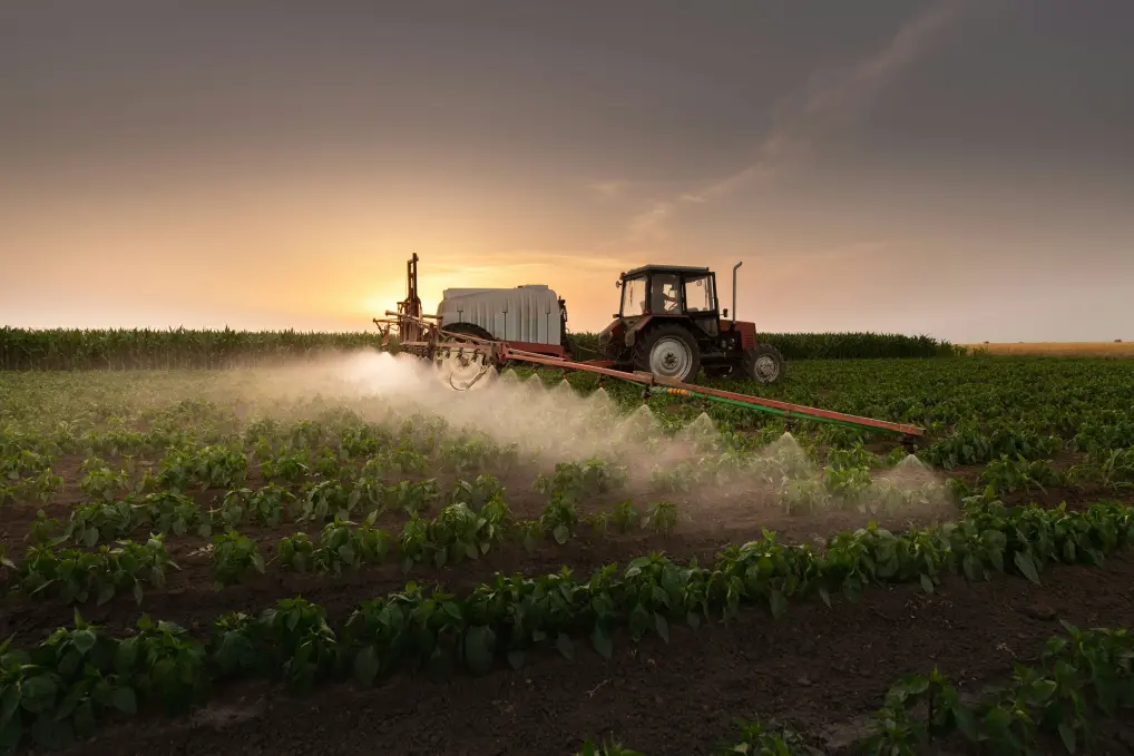
Agriculture
Optimize crop performance and irrigation strategies by understanding how land temperature impacts plant growth and soil health. Use LST data to detect drought stress early and enhance food security through precision agriculture.
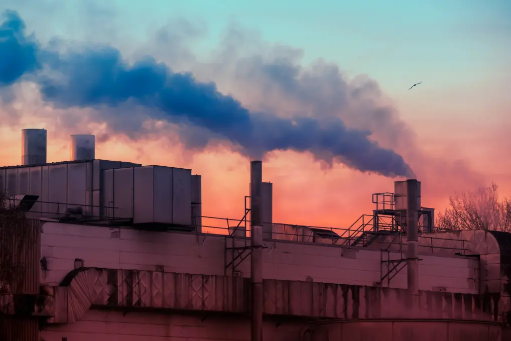
Industry monitoring
Monitor thermal patterns around industrial facilities, pipelines, and energy infrastructure. Detect heat anomalies that signal operational stress or potential hazards, and use LST data to support predictive maintenance and risk mitigation.
Environmental & urban resilience
Track temperature fluctuations across natural ecosystems and urban environments. From monitoring biodiversity shifts in forests to mitigating urban heat islands, LST data supports climate adaptation, land-use planning, and ecological conservation strategies.
Trusted by industry leaders

German Space Agency (DLR)
“Germany has a long-standing tradition of fostering collaboration and sharing knowledge. Partnering with OroraTech allows us to provide German scientists and application developers with the high-quality thermal data they need to drive impactful research and explore its innovative value as we build a more sustainable future for all citizens.”

Godela R., Head of Earth Observation
OroraTech and German Space Agency Deliver Thermal Data to Researchers & Scientists in Multi-Year Contract
Take the first step toward smarter resource management
Our experts are here to help you understand how our LST data can drive efficiency, boost productivity, and prepare you for climate challenges. Make informed, proactive decisions that drive sustainability and operational efficiency.
Frequently asked questions
What is Land Surface Temperature (LST) data, and how is it used in agriculture?
LST refers to the temperature of the Earth's surface, as measured from space. It provides real-time insights into soil and crop temperatures, enabling users to optimize irrigation, improve water use efficiency, and increase crop yields.
What resolution and frequency does OroraTech’s Land Surface Temperature product offer?
Currently, our LST product provides two measurements per day with a spatial resolution of 80 meters. In the future, we aim to increase this to 48 measurements per day with 30-minute revisit intervals as our satellite network expands.
Can LST data be used to predict wildfire risks?
Yes, LST data monitors surface moisture and vegetation stress, providing early indicators of areas at higher risk of wildfires and allowing for proactive management.
What data sources does OroraTech use for its LST product?
OroraTech combines data from its proprietary satellite network equipped with thermal sensors, alongside public satellite sources, ground-based cameras, sensors, and customer data. This comprehensive approach ensures the highest possible accuracy and frequency of temperature readings.
What are the future plans for OroraTech’s LST product?
OroraTech is continuously expanding its satellite network with the goal of providing sub-daily LST data with 30-minute revisit rates globally. Additionally, AI-based enhancements will allow for even higher resolution.