Rapid wildfire predictions for proactive protection
Knowing where the fire will move and how fast is essential for protecting assets, communities, and natural habitats. Get accurate wildfire spread predictions within seconds to make informed, life-saving decisions.
Rapid wildfire predictions for proactive protection
Knowing where the fire will move and how fast is essential for protecting assets, communities, and natural habitats. Get accurate wildfire spread predictions within seconds to make informed, life-saving decisions.
Swift fire spread simulations for faster decisions
Get fast, accurate fire spread predictions based on real-world conditions. Using wind, vegetation, and elevation – plus customizable inputs – Fire Spread delivers results in seconds.
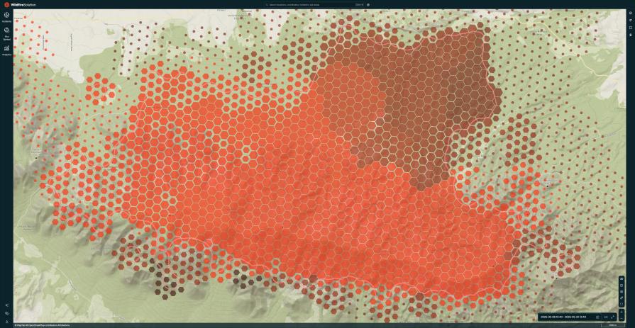
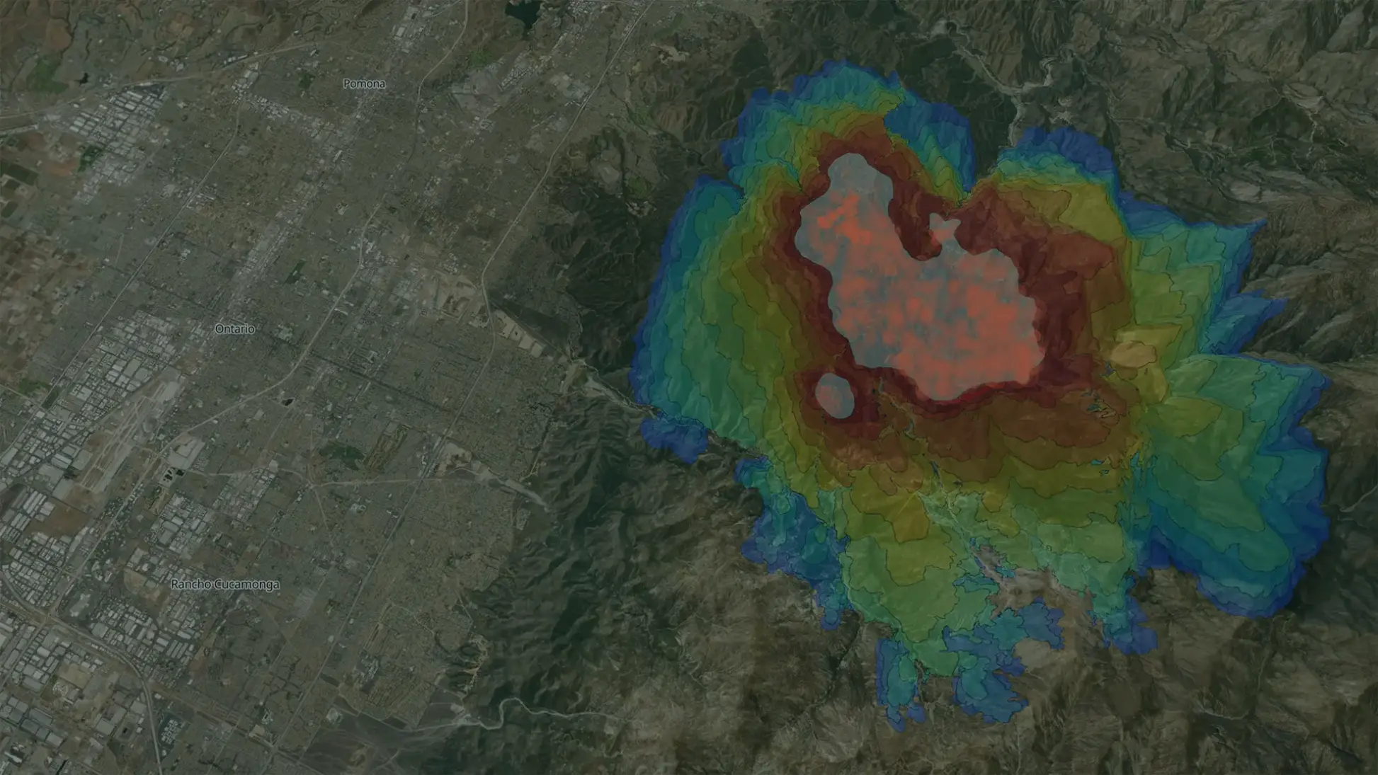
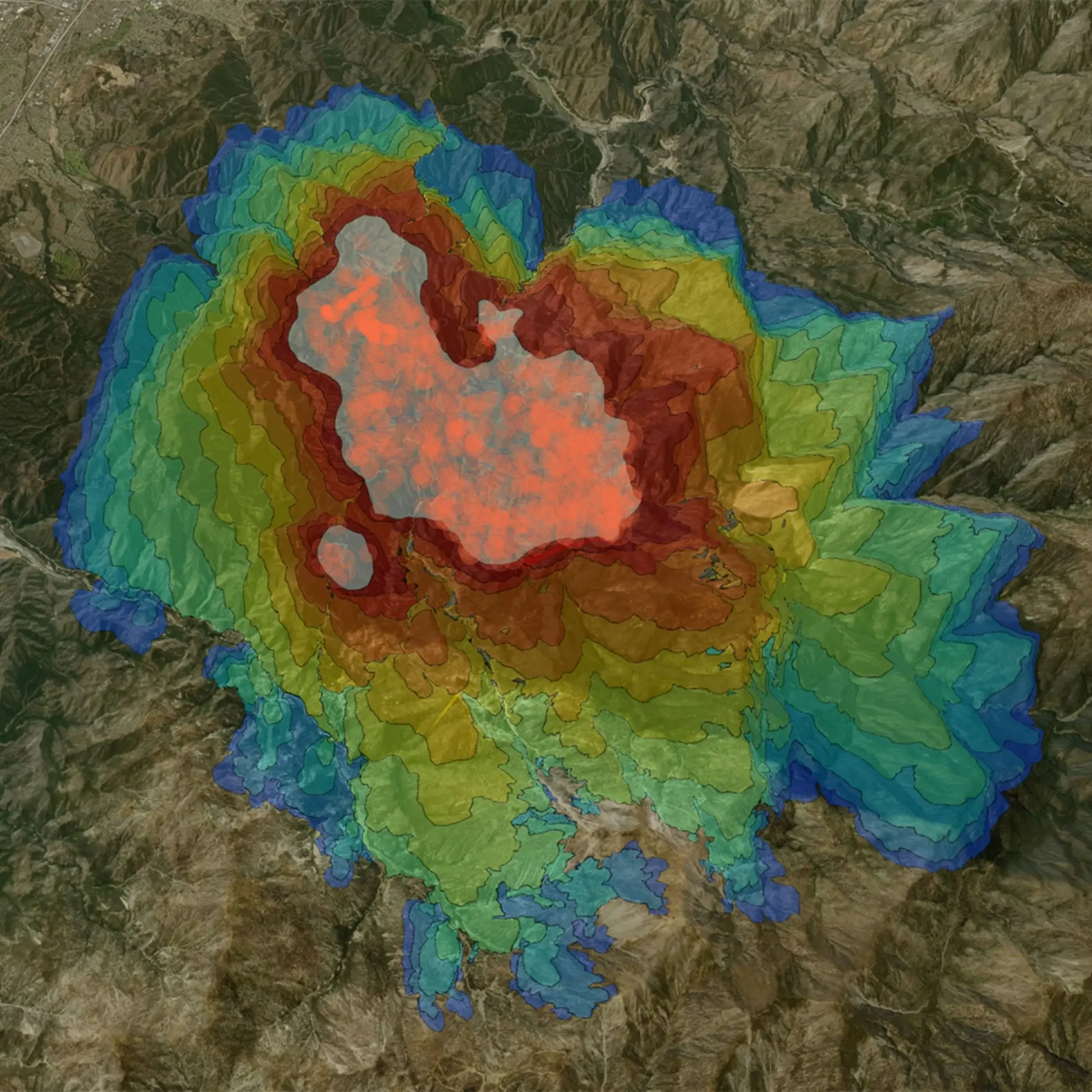
Run simulations with one click on fire clusters, ignition points, or custom shapes. Adjust parameters to explore scenarios, then visualize fire spread over 24 hours with clear, time-stepped animations for smarter decisions.

Know where the fire is heading
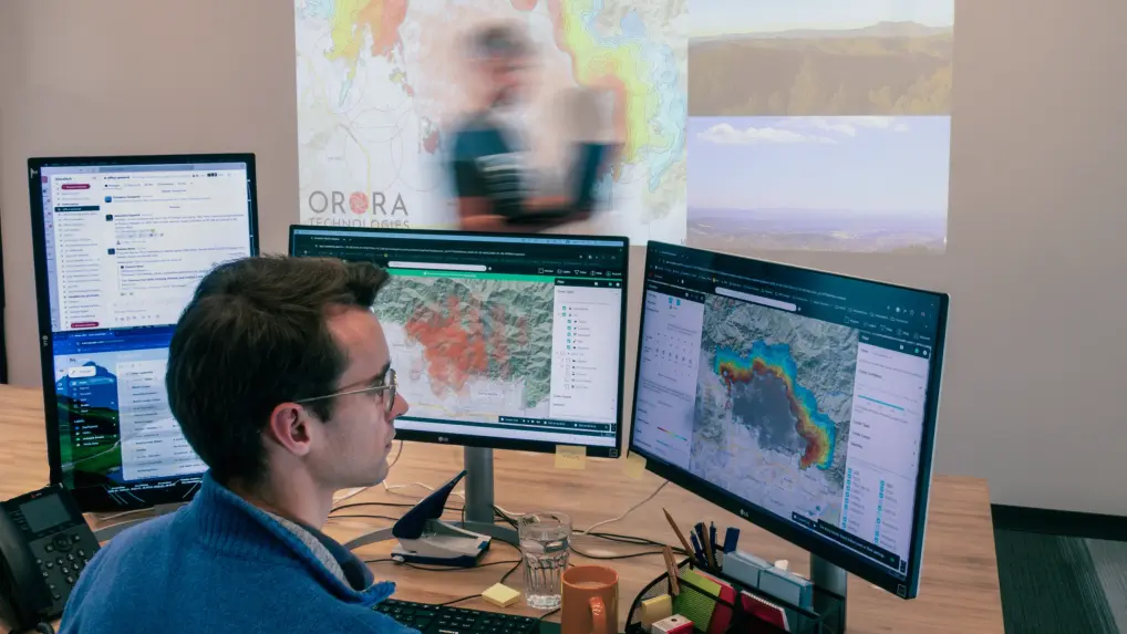
OroraTech’s Fire Spread product empowers users with near-instant, accurate fire spread predictions to make data-driven decisions in high-risk scenarios. Designed to reduce response times, support critical decision-making, and streamline fire management processes, it keeps you ahead of the fire.
Predict the path of the fire in seconds

Immediate fire spread predictions
Make timely, life-saving decisions by knowing where the fire will move next. Calculate real-time simulations at the click of a button, allowing you to respond faster when every second counts. Based on Rothermel, ForeFire, WindNinja & more.

Enhanced customization
Run scenario-specific simulations and adapt predictions to local conditions by adjusting parameters like wind speed, direction, and fuel moisture.

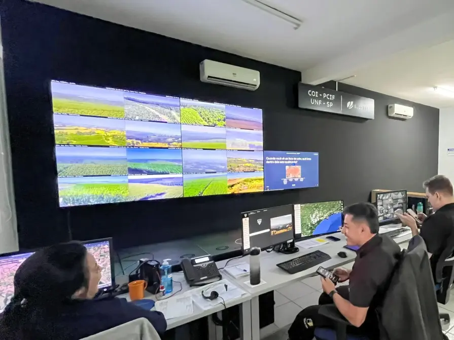
Seamless and smart collaboration
Save and share multiple simulations per fire cluster to compare outcomes and coordinate effectively with teams. Export results in GeoJSON or KML formats, or share via links.

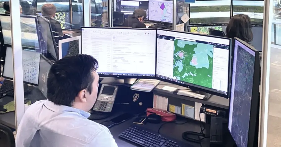
Comprehensive data integration
Leverage global datasets like Copernicus DEM for elevation and ESA’s World Cover Map for vegetation, or enhance precision with custom data inputs for region-specific accuracy.

Time-stepped visualizations
Improve situational awareness with clear, step-by-step animations showing fire spread over the next 1-24 hours, supporting more confident decision-making.

Flexible integration options
Use within OroraTech’s Wildfire Solution or integrate via API into your own systems, ensuring a tailored fire management approach.
Tailored fire spread solutions for every industry

Civil protection
Use precise fire spread predictions to allocate resources effectively, focusing on the most vulnerable communities. Ensure fast and well-coordinated responses to safeguard public safety.

Infrastructure & energy
Receive instant alerts when fires threaten grids and other critical infrastructure. Leverage accurate fire spread predictions to safeguard assets, reroute power, and reduce recovery time.
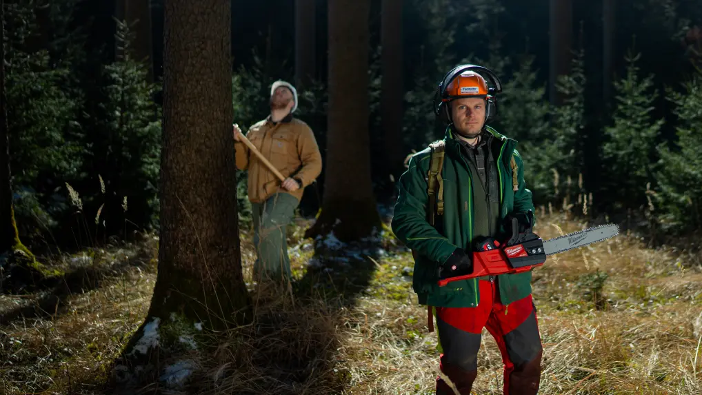
Forestry
Monitor neighboring fires and protect your plantation by knowing when and where a fire might become a threat. Plan interventions to protect valuable forestry resources and minimize damage.
Carbon
Understand wildfire behavior to stay ahead of the outbreak. Anticipate wildfire movement, plan tactical responses, and execute more effective strategies.
What our customers are saying
Suzano
"By leveraging advanced mathematical modeling, we’ve revolutionized how we approach wildfire prevention. These models integrate critical data like wind speed, terrain, and biomass to predict fire impacts hours or days ahead, enabling strategic firefighting. Working alongside partners like OroraTech, we’ve protected millions of hectares and improved field team safety while advancing wildfire prevention worldwide."

Douglas О., Head of Security
A Matter of Scale: How OroraTech's Wildfire Solution Protects Suzano Forests

ARAUCO Chile
“OroraTech’s data and team support enabled our team to concentrate on the crucial task of combating the fires, especially at night when visibility and aircraft resources are scarce for having an overall overview of the situation.”

German N., Head of Forest Fire Protection
OroraTech & ARAUCO: Battling Devastating Fires in Chile
Your frontline defense against wildfire threats
Our experts are here to help you leverage OroraTech’s Fire Spread solution for faster, more accurate wildfire predictions tailored to your specific needs. Contact us for a personalized demo and see how our solution can empower you to act confidently and minimize wildfire risks.
Frequently asked questions
How do I access and run the fire spread model?
You can access the Fire Spread model in two ways:
- Via the Wildfire Solution platform: Run simulations for existing fire clusters or custom shapes by selecting a cluster or uploading a valid GeoJSON file.
- Via the Wildfire Solution API: Use the API to programmatically run fire spread simulations and integrate the results into GIS tools or operational workflows.
What data is used for the fire spread simulation?
The Fire Spread model integrates multiple data sources for precise wildfire spread predictions:
- Current Fire Data: The model relies on real-time OroraTech Aggregated Active Fire data for accurate simulations.
- Elevation Data: Incorporates global elevation datasets like Copernicus DEM with 30m resolution, allowing for detailed modeling of how terrain impacts fire behavior.
- Fuel Maps: Utilizes the World Cover Map (ESA) for global vegetation and land use data, as well as custom fuel maps to assess fire spread across diverse ecosystems.
- Wind Data: Leverages high-resolution wind forecasts from global weather models, with an option to use WindNinja for more localized wind simulations.
Can the model be integrated with other systems or software?
Yes, our fire spread model outputs results in GeoJSON and KML formats, which are compatible with most GIS platforms like ArcGIS and QGIS. This allows for easy integration into existing workflows, making it simple to visualize and analyze fire predictions alongside other spatial data.
Is it possible to customize the simulation?
Yes, Fire Spread offers robust customization options to tailor simulations to your specific needs:
- Adjustable weather parameters: Modify wind speed, direction, and fuel moisture content up to 24 hours in advance.
- Custom weather models: Choose from default global models or upload a preferred weather model for regional accuracy.
- Scenario variations: Create multiple simulations for the same fire cluster, adjusting parameters to explore different outcomes.
- WindNinja integration: Include localized, high-resolution wind analysis in your simulations for more precise predictions in areas with complex terrain.
Can I export and share the Fire Spread simulation results?
Yes, the Fire Spread tool supports multiple export and sharing options for collaboration and operational efficiency:
- Data exports: Results can be exported in GeoJSON and KML formats, that are compatible with GIS and visualization platforms.
- Bulk exporting: Share multiple simulation results for a single fire cluster at once, streamlining communication and analysis.
- Shareable links: Generate links to quickly share simulation results with team members, stakeholders, or partners.