Protect carbon projects from wildfire risks
Monitor carbon forest assets globally in real-time and simulate fire spread scenarios. Our platform integrates early detection, risk assessment, and rapid response to safeguard your entire project portfolio.
Protect carbon projects from wildfire risks
Monitor carbon forest assets globally in real-time and simulate fire spread scenarios. Our platform integrates early detection, risk assessment, and rapid response to safeguard your entire project portfolio.
Why we need to act now
A single wildfire can erase years of sequestration and undermine an entire portfolio’s credibility. Without real-time visibility across vast forest areas, early detection and response are difficult.

No centralized monitoring across the project portfolio
Combining field reports with public satellite data is slow and lacks the accuracy needed for proactive risk management.
Delayed response to fire alerts due to manual workflows
Disconnected communication systems slow decision-making and reduce coordination with field teams when every minute counts.

High risk of carbon reversal from uncontrolled fires
In 2023, forest wildfires emitted 7.96 billion tonnes of CO₂.
How we make a difference
Detect threats instantly, anywhere in your portfolio
Your forest assets are under continuous satellite surveillance, no matter how remote, enabling early detection and faster response.

Streamline on-ground communication
Deliver clear, actionable insights in real-time so field teams can respond quickly and safely to emerging threats.

Situational awareness, before, during, and after the wildfire
From fire spread simulations to post-event analysis, leverage a suite of tools to make informed decisions and report confidently to stakeholders.
Holistic fire management and mitigation for your project portfolio
Designed for carbon project developers and forestry teams, our solutions deliver the critical intelligence needed to safeguard forest assets, enhance carbon sequestration credibility, and maintain the project’s credit integrity.
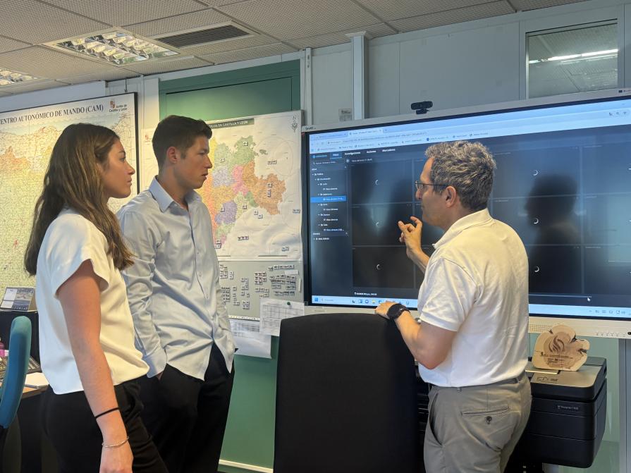
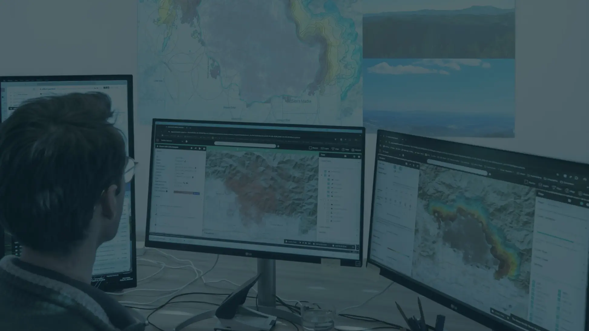
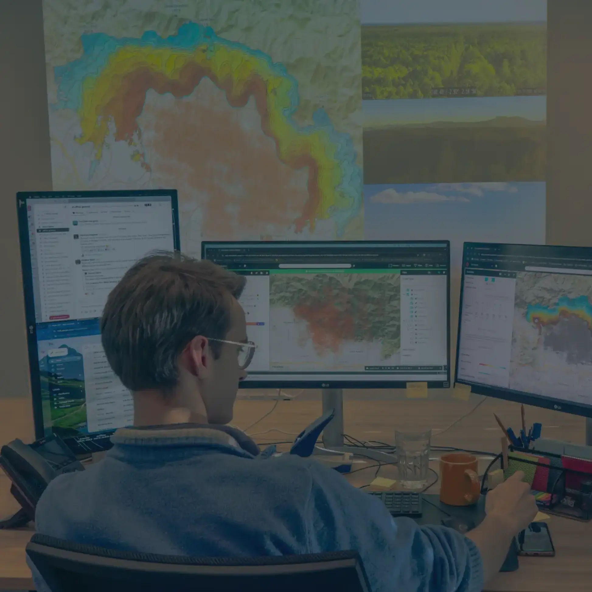
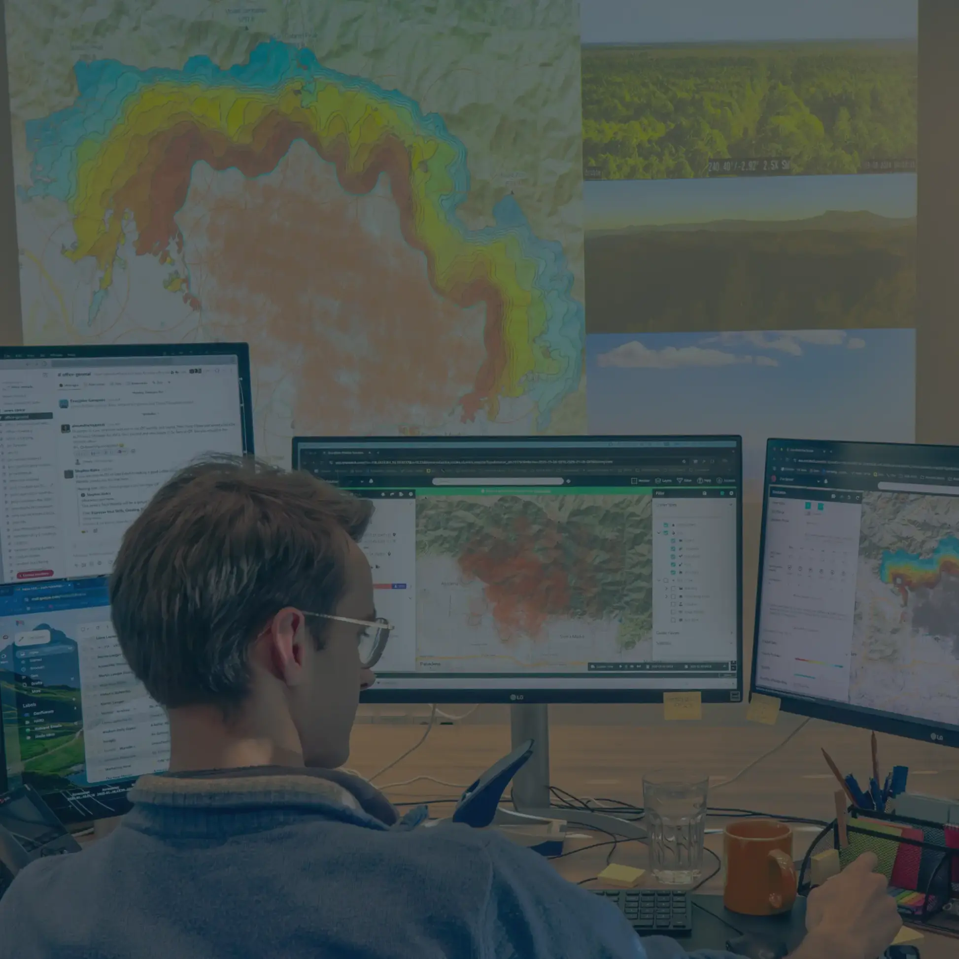
Detect and monitor wildfires in near-real-time
OroraTech’s Wildfire Solution (WFS) platform, powered by a global constellation of over 25 satellites, provides near-real-time monitoring of your entire project portfolio. From early threat detection to continuous situational updates, the platform delivers actionable intelligence – streamlined for rapid communication with on-ground teams – ensuring a fast and coordinated response to wildfire events.
Understand wildfire behavior to stay ahead of the outbreak
From the moment a fire is detected, OroraTech’s Fire Spread simulation models up to 72 hours of predicted fire behavior by integrating high-resolution weather data and on-ground perimeter inputs. This enables teams to anticipate wildfire movement, plan tactical responses, and execute more effective strategies. The fire spread simulation can also support evacuation planning, prescribed fire burns, and readiness assessments to improve overall wildfire preparedness.
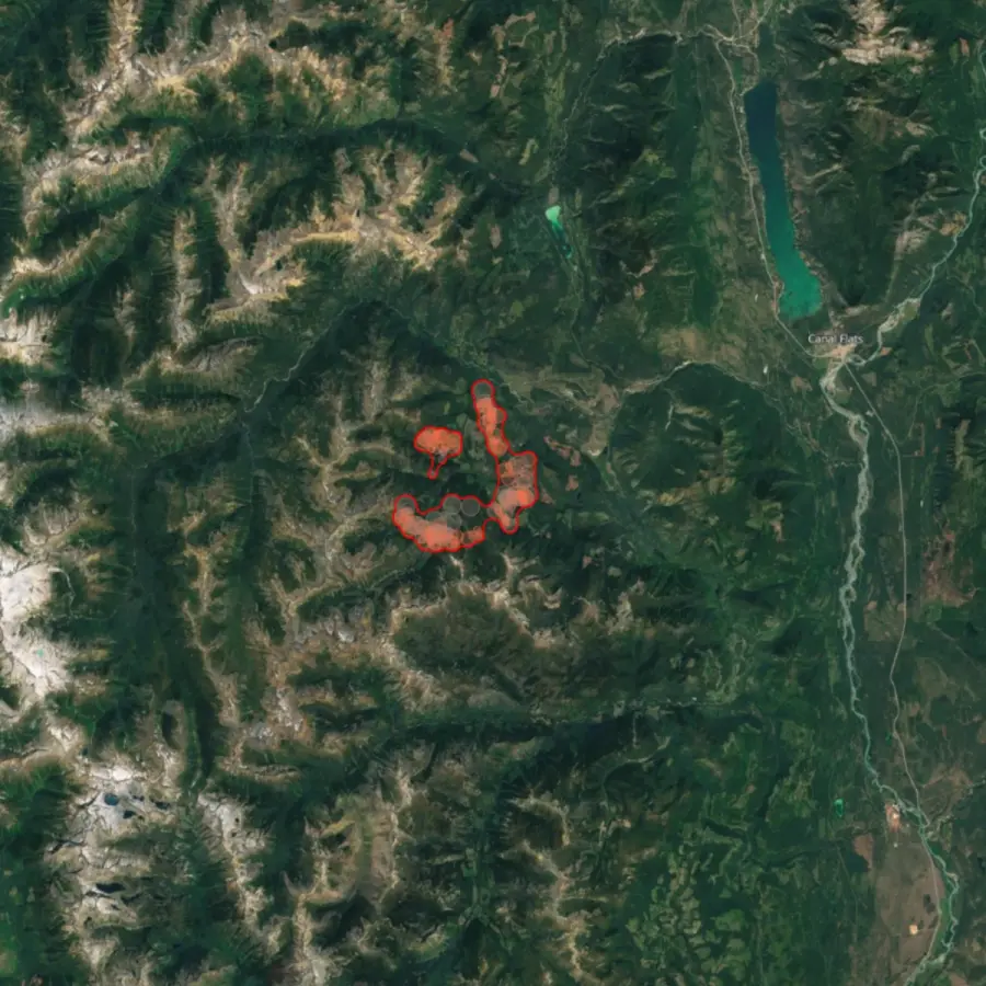
Accelerate restoration planning with post-fire insights
OroraTech’s Burnt Area solution delivers high-resolution burn scar mapping every 2–3 days, providing clear insights into post-wildfire impact. These timely updates support restoration planning and enable fast, transparent communication with insurers and carbon credit registries, accelerating the project recovery and credit verification process.
Why choose our solution

24/7 monitoring of your complete project portfolio
Data from 25+ satellites for unparalleled coverage and detection capabilities.

Historic wildfire data to plan your next project
4 years of wildfire history to create your wildfire mitigation plan.

Efficient communication with your on-ground team
Quick, digestible information in critical situations.

API access to integrate into your current workflow
No overhauls are required. OroraTech fits right into your existing technical workflow.

Risk mitigation strategy for your carbon market ratings
An end-to-end risk management strategy to support independent credit validation.

Fire Spread simulation for your evacuation strategies and training
Simulate wildfires to plan evacuation strategies and test preparedness.
Trusted by industry leaders across the globe
Permian Global
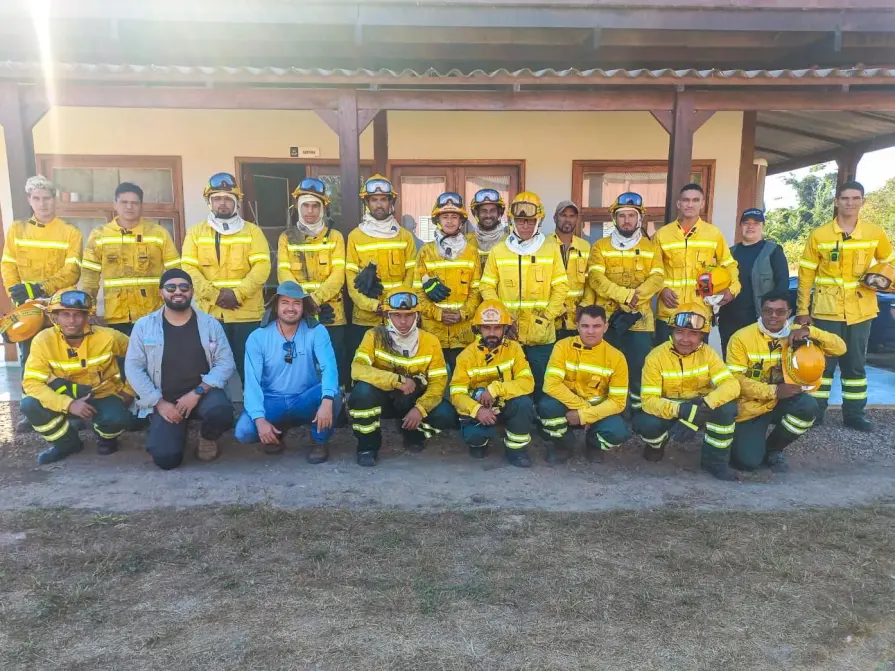
"In Brazil’s Rio Cautário project, we managed to reach zero fires in the protected area thanks to the combination of community training and satellite alerts from OroraTech. That progress also helped us improve our project rating from A to AA, increasing both the value and credibility of our carbon credits."

Javier R., Remote Sensing Analyst
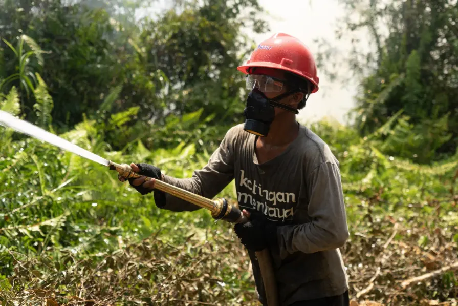
Katingan Mentaya Project
”Information from OroraTech’s Wildfire Solution allows for earlier hotspot detection and monitoring of areas at risk of forest fires. This service also provides practical reports that use 20+ satellite sources and wildfire algorithms, offering a confidence level that aids in mitigation strategies. Overall, OroraTech significantly aids mitigation efforts against forest and land fires in the Project area.”

I Gede Widyana Sukarsa Danu, Head of Mendawai Zone
Reinventing fire management at the Katingan Mentaya
Protect your carbon projects from wildfire risk
Contact us today to book a live demo with one of our specialists and discover how OroraTech can help protect and future-proof your carbon projects.
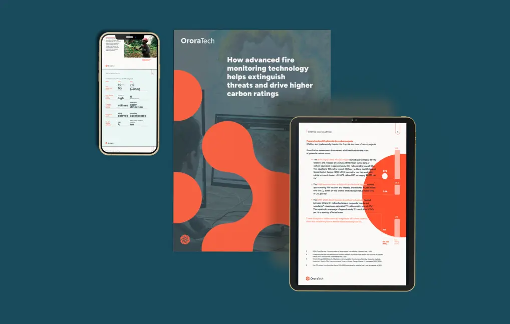
How advanced fire monitoring helps extinguish threats and drive higher carbon ratings
Learn how proactive fire resilience measures can translate into higher project ratings, stronger market positioning, and greater long-term value.