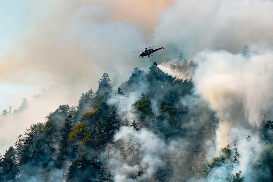
Detect. Respond. Protect: The leading wildfire management platform
Leverage the earliest hotspot detection and continuous monitoring of fire-prone areas. Use data from 35+ satellites and AI-driven analytics to gain reliable, near-real-time insights – protecting people, nature, and assets.

Detect. Respond. Protect: The leading wildfire management platform
Leverage the earliest hotspot detection and continuous monitoring of fire-prone areas. Use data from 35+ satellites and AI-driven analytics to gain reliable, near-real-time insights – protecting people, nature, and assets.
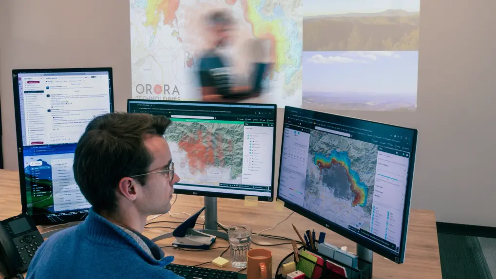
Gain situational awareness during fire emergencies
Every. Second. Counts. Our technology provides near-real-time insights from space, giving you full visibility in critical moments. Detect fires early, assess their impact instantly, and focus response efforts where they matter most.
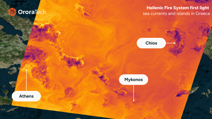
See through smoke, anytime, anywhere
Detect fires in remote areas and under challenging conditions with 24/7 global satellite coverage.
React instantly with precise insights
Access accurate fire location, dynamics, and intensity data to ensure a faster and more effective response.
Integrate data into your workflows
Seamlessly integrate wildfire intelligence via API or use the Wildfire Solution platform for monitoring.
Comprehensive wildfire management
OroraTech supports decision-makers at every stage of wildfire management, providing critical information needed to plan actions and protect what matters most.
Risk assessment
Predict fire risk and assess the local weather and vegetation conditions.
Fire hazard index: Access a 9-day forecast and detailed mapping of the fire risk.
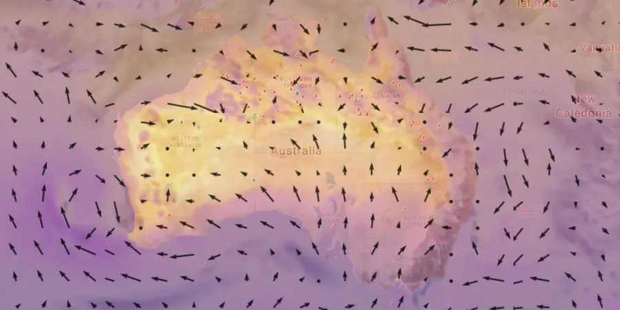
Weather information: Stay informed about critical factors, including wind speed and direction, temperature, and humidity.
Vegetation & terrain analysis: Assess conditions using land cover, vegetation indices, and 3D maps.
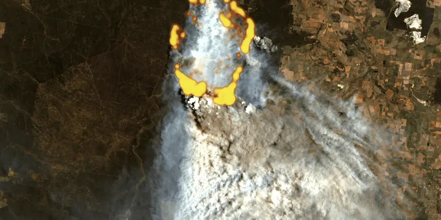
Early detection
Receive instant alerts of active wildfires via different notification methods.
Data from over 35 satellites: Get precise detection and capture fires as small as 10x10 meters.
Automatic notifications: Receive instant email, WhatsApp messages, SMS, or in-app alerts within minutes of any new fire detections in your monitored areas.
Accurate location & fire area: Get precise location coordinates, data on fire intensity, and estimates of the affected area.
Fire confidence: Evaluate multiple factors to confirm if a heat anomaly is a genuine fire, reducing false alarms and enabling timely, cost-effective decisions.
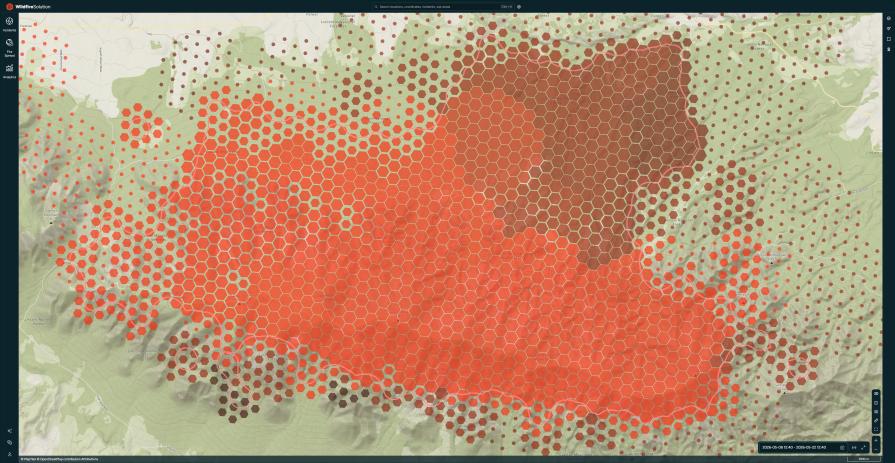
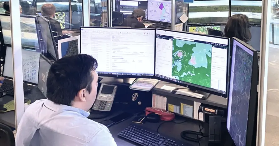
Near-real-time monitoring
Continuous fire tracking: Monitor the active fire front and its development with regular updates.
Fire spread simulation: Benefit from our analysis of crucial fire drivers such as weather, topography, and fuel to estimate the potential fire spread.
Situational awareness: Stay informed with our customizable Incident Overview, displaying only the data you need for effective decision-making.
Public Snapshot: share the current fire situation with anyone in the command chain - even if they don't have a Wildfire Solution account.
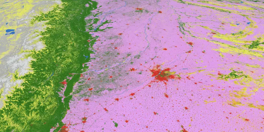
Post-fire impact analysis
Quantify burnt area automatically and estimate losses.
Burnt area: Utilize advanced technology for high-resolution mapping of burnt areas and severity assessment.
Fire statistics: Uncover patterns and trends in wildfire activity using our comprehensive historical dataset, automatic dashboards, and visualizations.
Fire origin & evolution: Observe fire progression over time.
Empowering you throughout all phases of fire management
Beyond the smoke
Detect and monitor active fires even under challenging conditions.

Fire Spread
Predict fire propagation to guide effective response strategies.

Fire clusters
Identify and analyze fire perimeter for proactive planning.
Land cover
Gain insights into terrain and vegetation distribution.
Vegetation damage
Understand the condition of vegetation in fire-prone areas.

Fuel moisture data
Assess the flammability of vegetation for better risk prediction.

Burnt area
Quantify fire-affected regions for damage assessment.
Critical weather factors
Analyze temperature, humidity, and wind speed influencing fire behavior.
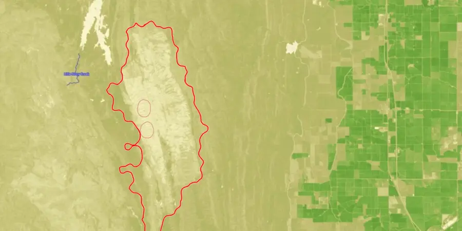
Try out Wildfire Solution
Seeing is believing - give Wildfire Solution a test drive. Below is a public snapshot of a fire near Patagonia in Argentina on January 15th, 2025
Trusted by industry leaders across the globe

ARAUCO Chile
“OroraTech’s data and team support enabled our team to concentrate on the crucial task of combating the fires, especially at night when visibility and aircraft resources are scarce for having an overall overview of the situation.”

German N., Head of Forest Fire Protection
OroraTech & ARAUCO: Battling Devastating Fires in Chile
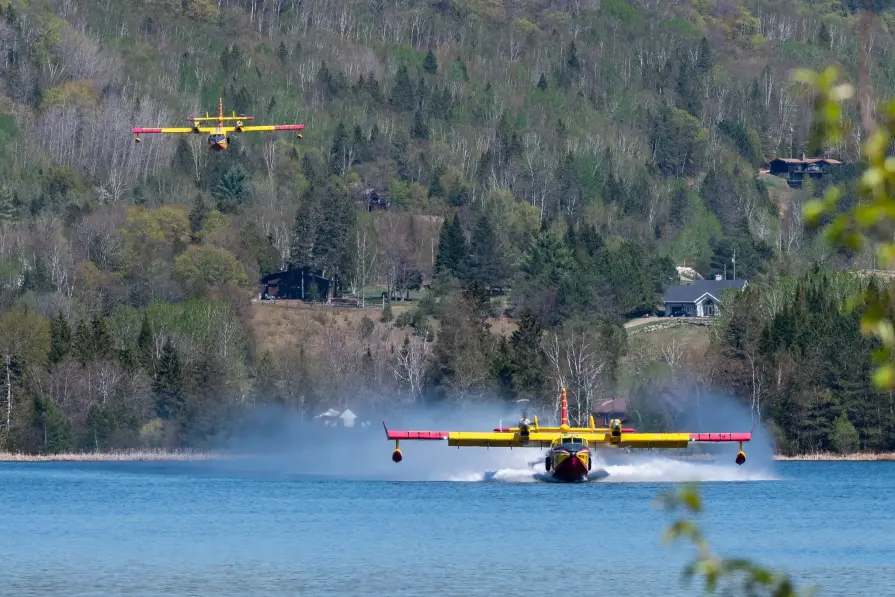
SOPFEU Quebec
"We map fires from space when other methods are not possible. OroraTech's Wildfire Solution is an operational mindshift. We never had success with the satellite based data before. In 2023, OroraTech became the main information source for fire detection and monitoring to maintain situational awareness."

Mathieu P., Director of Aviation Services
OroraTech & SOPFEU Working Together to Protect the Unique Forests of Quebec from Wildfires
European Commission
"What OroraTech has developed is closely aligned with the goals many in the field have been striving toward – a practical, integrated tool for improving wildfire response. The platform brings together an exceptional number of satellite sources, allowing a level of fire monitoring that feels nearly real-time, especially valuable in complex or fast-moving fire situations."

Pietro C., Project Officer – Scientific Research
OroraTech Signs a Multi-Million Contract to Deliver Data to the European Union
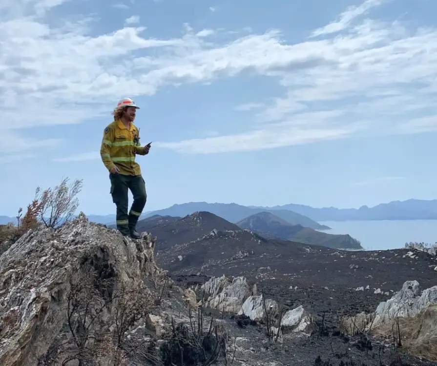
Tasmania Parks & Wildlife Service
"We were seeking a platform that could help us detect bushfires early. We have found OroraTech to be a great fit for our needs and it is aligned with our organization's mantra of - early detection and rapid response. While others provide satellite data, what sets OroraTech apart is its start-up culture, excellent customer liaison team, and commitment to meeting our needs. Members of the OroraTech team listen to our needs and are consistently improving the platform, we look forward to future developments and enhancements!”

Richard D., Fire Operations Manager
OroraTech & Tasmania Parks and Wildlife Service: Preserving Tasmania's Ecological and Cultural Heritage with Remote Sensing
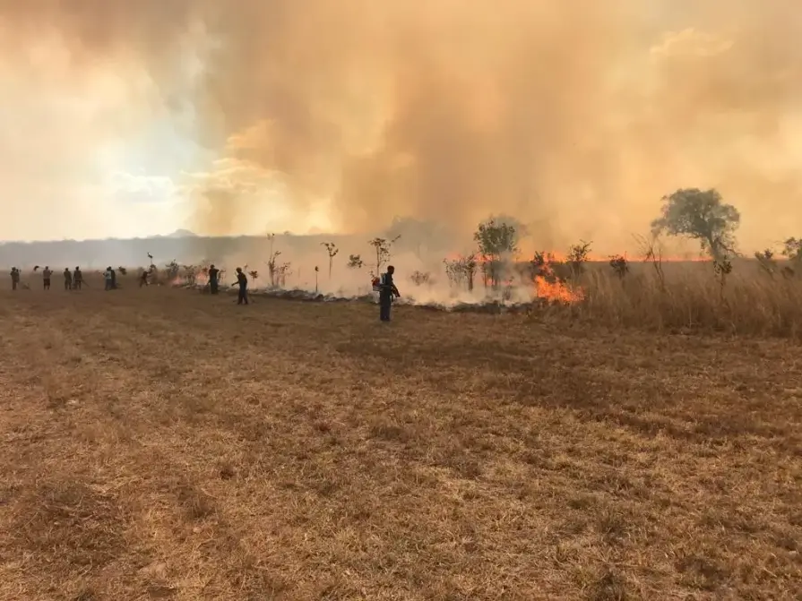
USFS Niassa National Reserve
"The Niassa Special Reserve in northern Mozambique faces a huge problem of forest fires that every year cause environmental, social, and economic damages. Thanks to OroraTech's WFS we are able to monitor the wildfires as well as gather the information needed to analyze their spatio-temporal pattern which is a very important component for the designing of an integrated fire management plan to address this problem within this conservation area."

Leonel M., Field Specialist
On a Mission To Save the Niassa Special Reserve: Home of the Last Great Elephant Population
Fire doesn’t wait — Neither do we
Book a live demo with one of our Wildfire Solution specialists today and see how OroraTech can support your wildfire management strategy.
Tailored solutions for every sector affected by wildfires
Civil protection
Empower emergency response teams with accurate fire detection and propagation insights to protect communities.
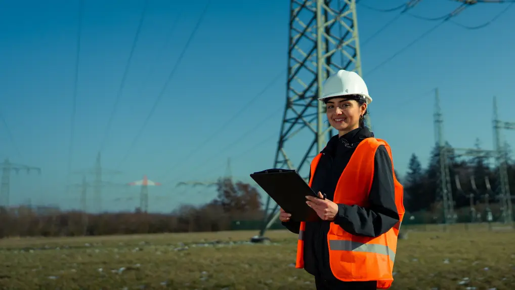
Infrastructure & energy
Minimize wildfire-related disruptions and protect critical infrastructure with advanced risk and damage assessment tools.
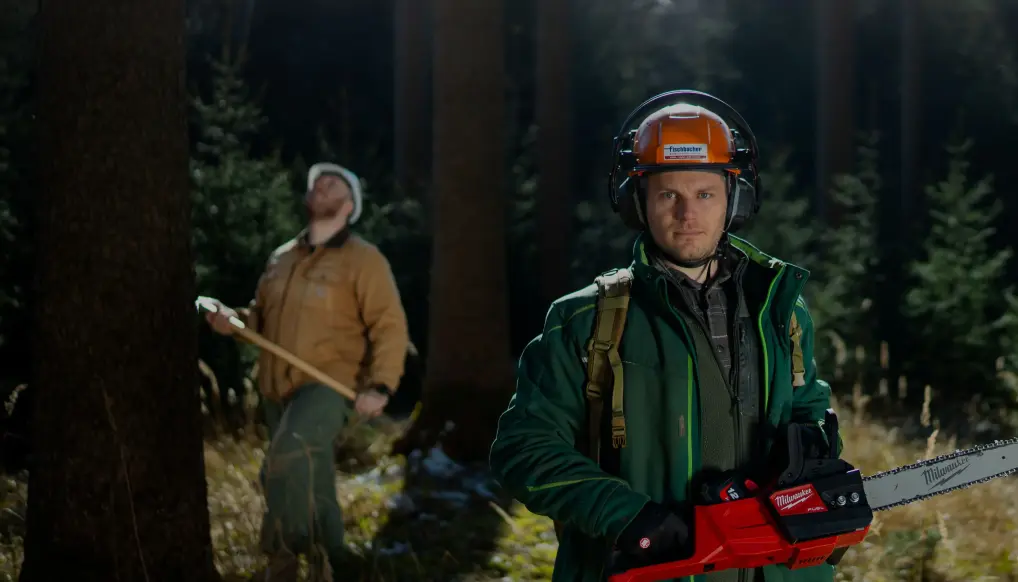
Forestry
Protect forest resources and biodiversity with precise, near-real-time data to detect, monitor, and respond to wildfires effectively.
Carbon
Unlock near-real-time monitoring of your entire project portfolio. Streamline rapid communication with on-ground teams and ensure a fast and coordinated response to wildfire events.
How to buy in your region

Angola


Argentina


Austria


Bosnia-Herzegovina


Botswana

Brazil


Bulgaria


Canada


Chile


Colombia


Croatia


Cyprus


Dominican Republic
Where to buy in Dominican Republic
OroraTech LATAM

Paladius - Industrial Fire Products Corp.

Ecuador

Eswatini

Ethiopia


Germany

India


Indonesia


Italy


Kenya

Madagascar

Malaysia


Malta

Mexico

Montenegro

Mozambique

Namibia

Pacific Community


Paraguay

Peru


Poland


Puerto Rico

Romania


San Marino

Saudi Arabia


Serbia

Slovakia

Slovenia

South Africa

Switzerland

Tanzania

Thailand


Türkiye


Uganda

United States
Where to buy in United States
OroraTech USA

Santa Clara County FireSafe Council
Team Wildfire

United States Virgin Islands

Vatican

Zambia

Zimbabwe
Frequently asked questions
How does the Wildfire Solution detect wildfires in near-real-time?
Our platform combines data from over 25 satellites, ground-based sensors, and advanced AI algorithms to detect active fires as small as 4x4 meters, even through smoke and in remote locations. The detection system delivers updates multiple times per hour to ensure you receive timely information.
What is the spatial resolution and update frequency of your data?
The Wildfire Solution provides high-resolution insights, detecting fires at a resolution of up to 20 meters. Updates are delivered in near-real time, ensuring precise monitoring and rapid response capabilities.
Can I integrate the Wildfire Solution into my existing systems?
Yes, our solution supports seamless integration via API, allowing you to access wildfire detection, monitoring, and analysis data directly in your existing workflows and platforms.
What kind of alerts can I expect from the system?
You’ll receive instant notifications via email, SMS, WhatsApp, Telegram, or in-app alerts. These alerts include detailed information about the fire location, intensity, and affected area, enabling swift and informed action.
Does the solution provide weather and vegetation data for risk assessment?
Absolutely. The platform offers comprehensive weather data, including wind speed, humidity, and temperature, as well as vegetation and terrain analysis using land cover maps and fuel moisture indices.
How does the solution handle post-fire damage assessment?
Our high-resolution burnt area mapping tools allow you to quantify the impacted area, assess burn severity, and analyze fire origin and evolution. This data supports recovery planning, carbon offset calculations, and long-term fire trend analysis.
Can the system predict wildfire spread?
Yes, the platform analyzes fire behavior, weather conditions, and terrain to estimate fire propagation, helping decision-makers take proactive measures to mitigate damage.