Post-fire impact assessment: accurate burnt area mapping
Leverage high-resolution satellite data to assess wildfire damage globally. Quickly determine burn severity, allocate resources efficiently, and accelerate recovery with precise insights powered by advanced algorithms.
Post-fire impact assessment: accurate burnt area mapping
Leverage high-resolution satellite data to assess wildfire damage globally. Quickly determine burn severity, allocate resources efficiently, and accelerate recovery with precise insights powered by advanced algorithms.
Your post-fire strategy starts here
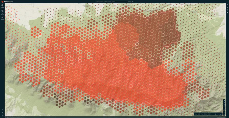
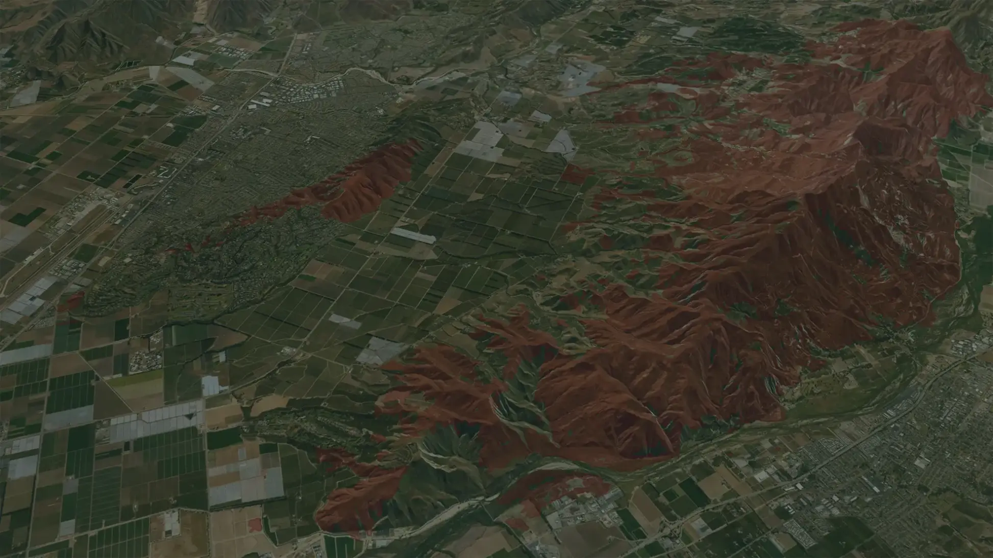
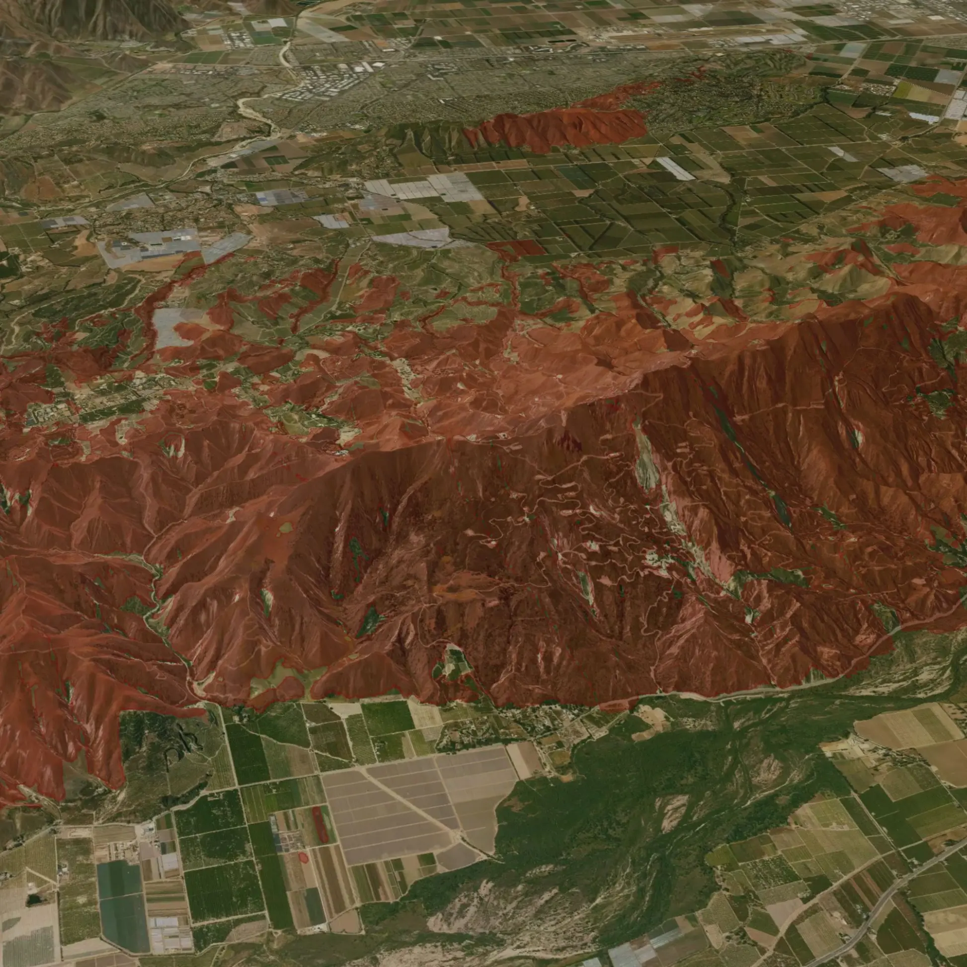
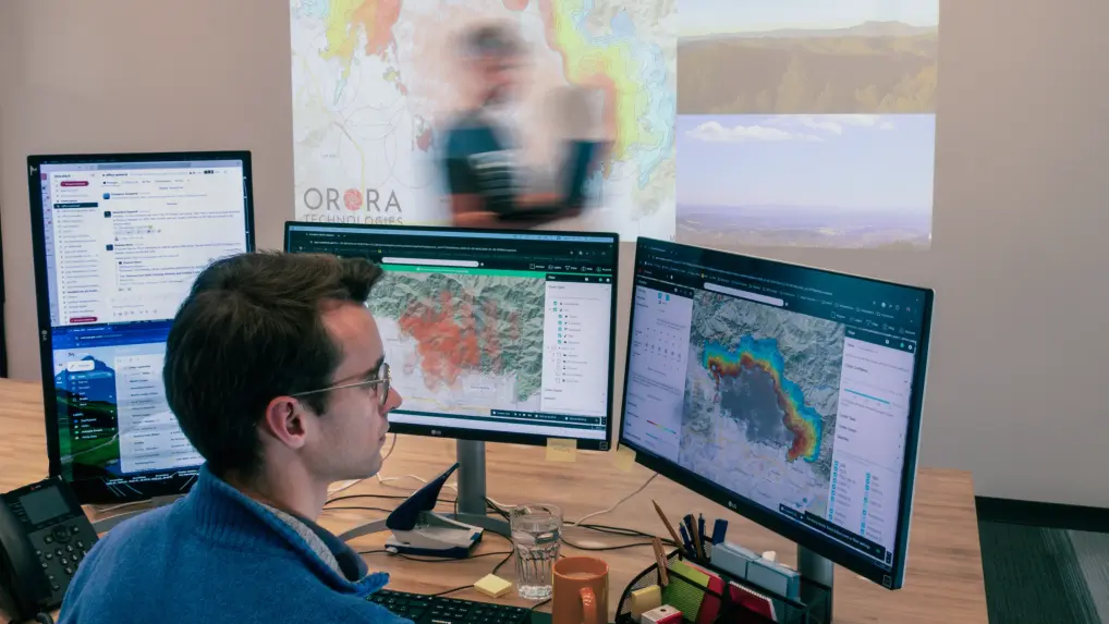
Our Burnt Area solution delivers fast, reliable, and highly detailed insights into fire damage globally, helping you drive recovery efforts and make informed decisions in the aftermath of wildfires.
Gain a comprehensive view of fire-impacted regions

Global coverage, local precision
Get accurate, high-resolution fire data worldwide with 20-meter precision – even in remote or challenging locations.

Fast turnaround – data within days
Receive critical fire damage data within 2-3 days of a fire event to accelerate recovery planning and minimize costs.

100% automated detection
Save time and costs with a scalable, fully automated system that detects and maps burnt areas instantly.

Detailed burn severity assessment
Assess the severity of the damage to maximize the efficiency of your recovery efforts and resource allocation.

Cost-effective alternative
Replace expensive aerial mapping with a faster, more affordable satellite-based fire damage assessment.

Meta information for enhanced analysis
Track fire progression with precise timestamps, enabling better mitigation and recovery planning.
Custom solutions for every sector impacted by wildfires
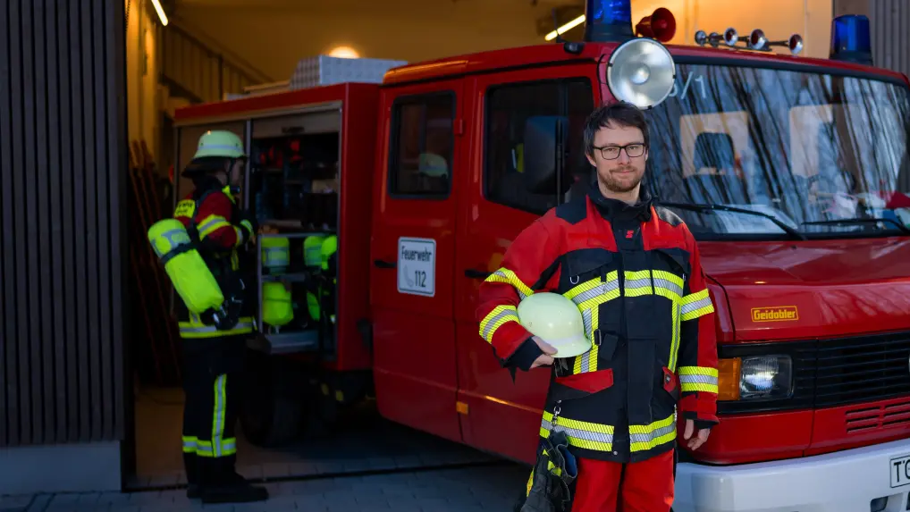
Civil protection
Enable fast post-fire responses with up-to-date data on fire severity and affected regions to allocate resources efficiently and protect communities.
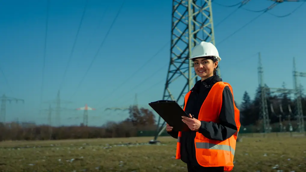
Infrastructure & energy
Get detailed fire impact data on key assets, enabling quicker recovery times and minimizing downtime and restoration costs.
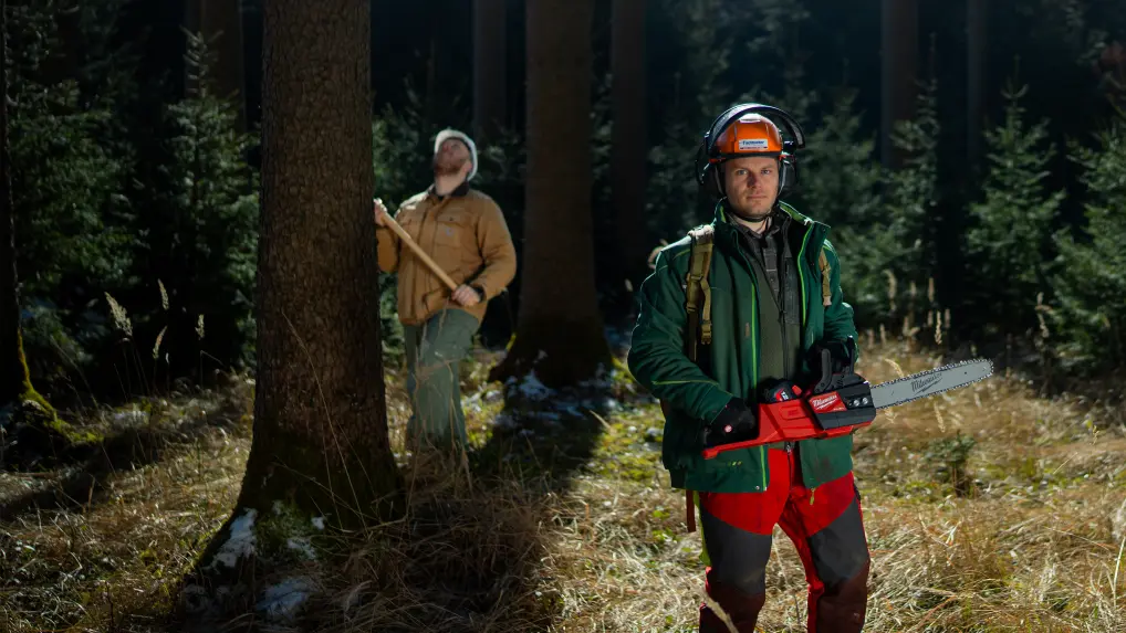
Forestry
Ensure fast recovery and reforestation with comprehensive, precise, and high-resolution data, helping to assess the full extent of damage.
Carbon
Ensure transparent communication with insurers and carbon credit registries, accelerating the project recovery and credit verification process.
Trusted by industry leaders across the globe
Tasmania Parks & Wildlife Service
"We were seeking a platform that could help us detect bushfires early. We have found OroraTech to be a great fit for our needs and it is aligned with our organization's mantra of - early detection and rapid response. While others provide satellite data, what sets OroraTech apart is its start-up culture, excellent customer liaison team, and commitment to meeting our needs. Members of the OroraTech team listen to our needs and are consistently improving the platform, we look forward to future developments and enhancements!”

Richard D., Fire Operations Manager
OroraTech & Tasmania Parks and Wildlife Service: Preserving Tasmania's Ecological and Cultural Heritage with Remote Sensing
USFS Niassa National Reserve
"The Niassa Special Reserve in northern Mozambique faces a huge problem of forest fires that every year cause environmental, social, and economic damages. Thanks to OroraTech's WFS we are able to monitor the wildfires as well as gather the information needed to analyze their spatio-temporal pattern which is a very important component for the designing of an integrated fire management plan to address this problem within this conservation area."

Leonel M., Field Specialist
On a Mission To Save the Niassa Special Reserve: Home of the Last Great Elephant Population
Accurate fire damage data, anytime, anywhere
We understand the importance of timely, accurate fire damage data. Speak to an expert today to learn how OroraTech’s Burnt Area product can support your industry’s specific challenges, from faster recovery times to data-driven decision-making.
Frequently asked questions
How does the Burnt Area Data Product help accelerate wildfire recovery?
OroraTech’s Burnt Area product offers high-resolution satellite fire data within 2-3 days after a wildfire event, enabling faster and more accurate fire damage assessments. This reduces the time needed for ground-based surveys and allows for better resource allocation in post-fire recovery efforts.
Can the Burnt Area Product be integrated into our existing systems?
Yes, the Burnt Area data is available via API or through OroraTech’s Wildfire Solution, allowing seamless integration into your existing fire risk assessment tools and wildfire monitoring systems.
What makes OroraTech’s Burnt Area data more reliable than traditional methods?
OroraTech’s satellite-based assessments are faster and safer than ground-based methods, providing data within 2-3 days without needing personnel on the ground. Compared to aerial surveys, our solution is more cost-effective and operates under challenging conditions like smoke or nighttime, delivering insights quickly and efficiently, at a spatial resolution of up to 20 meters.
How does the product handle post-fire carbon offset verification?
The Burnt Area product provides detailed insights into burn severity and fire damage impact, which are critical for accurate carbon offset project verification. By ensuring precise fire damage assessment, organizations can adjust carbon calculations and maintain compliance in reporting.
What kind of data can I expect from the Burnt Area product?
The Burnt Area product delivers precise burnt area outlines, and burn severity analysis. It includes timestamps that track fire ignition and extinction, and quality metrics reporting on the quality of the detection and mapping, providing crucial data for near-real-time fire severity analysis and enabling better wildfire recovery planning.