Detect, assess & monitor fires to protect forests
We designed a platform that provides near-real-time monitoring, predictive insights, and post-fire analysis within one interface. With satellite-powered early alerts and advanced analytics, safeguarding forests has never been this effective.
Detect, assess & monitor fires to protect forests
We designed a platform that provides near-real-time monitoring, predictive insights, and post-fire analysis within one interface. With satellite-powered early alerts and advanced analytics, safeguarding forests has never been this effective.
Why we need to act now
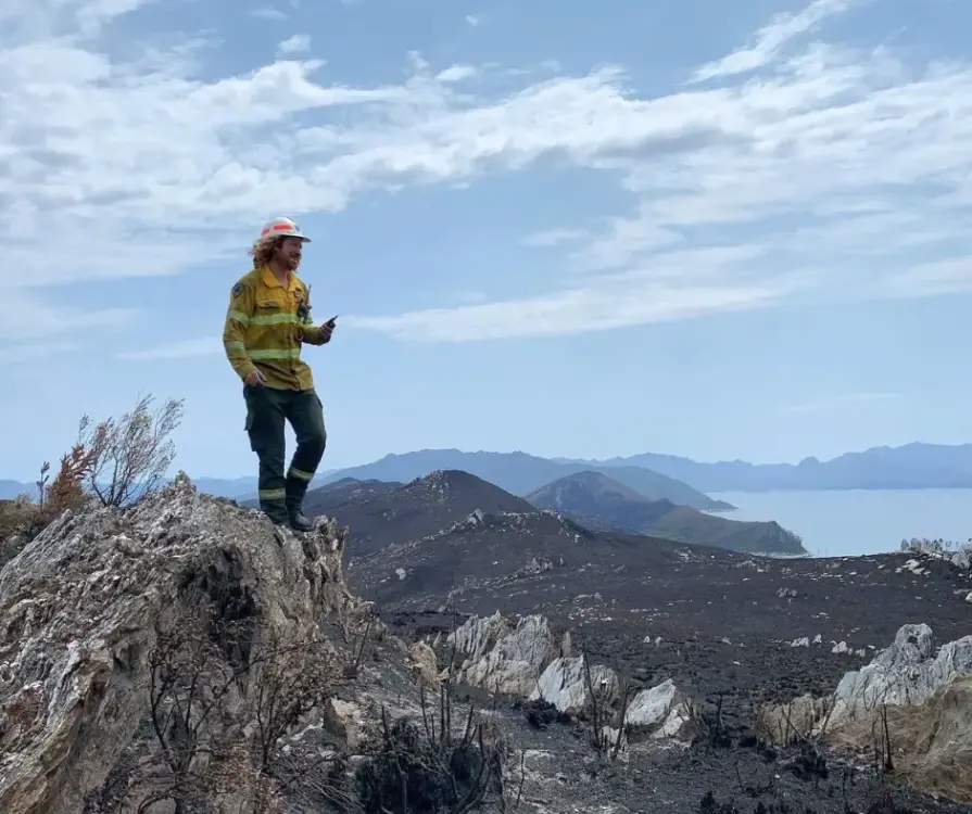
Wildfires are a growing threat and the damage to forests is often irreversible. Traditional tools cannot keep pace, making it harder for forest managers to respond with the speed and precision needed.

Record-breaking economic losses
The 2025 LA wildfires alone are estimated to have more than $250 billion in economic losses, making them one of the costliest natural disasters.

Environmental devastation
In 2023, wildfires burned over 30 million hectares of land globally – an area larger than the size of Italy.

Increasing fire frequency and intensity
Projected increase of 14% in extreme fires by 2030, followed by a further 33% increase by 2050.
How we make a difference
See through smoke, anytime, anywhere
Detect wildfires even in remote areas and under challenging conditions, with 24/7 global coverage.

React instantly with precise insights
Access accurate fire location and intensity data to ensure a faster and more effective response.

Secure full situational awareness & control
Understand fire dynamics, including potential spread, severity, and losses, for confident decision-making.
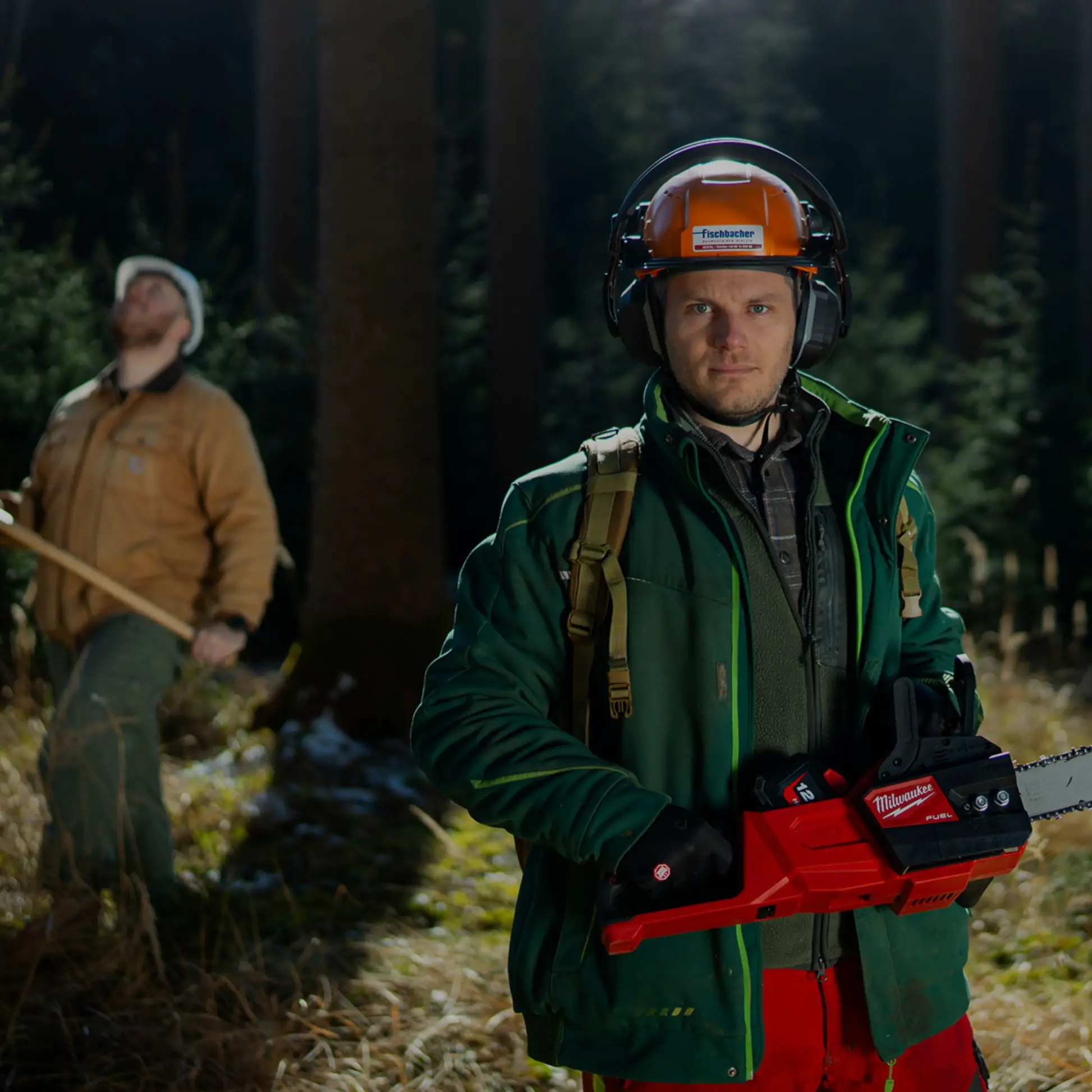
Comprehensive wildfire solutions for forestry
Our tools are designed to support every stage of the wildfire cycle – from early detection and fire spread modeling to near-real-time monitoring and post-fire assessment. Built for forestry professionals, these solutions provide critical intelligence to protect forest assets and improve response efficiency.
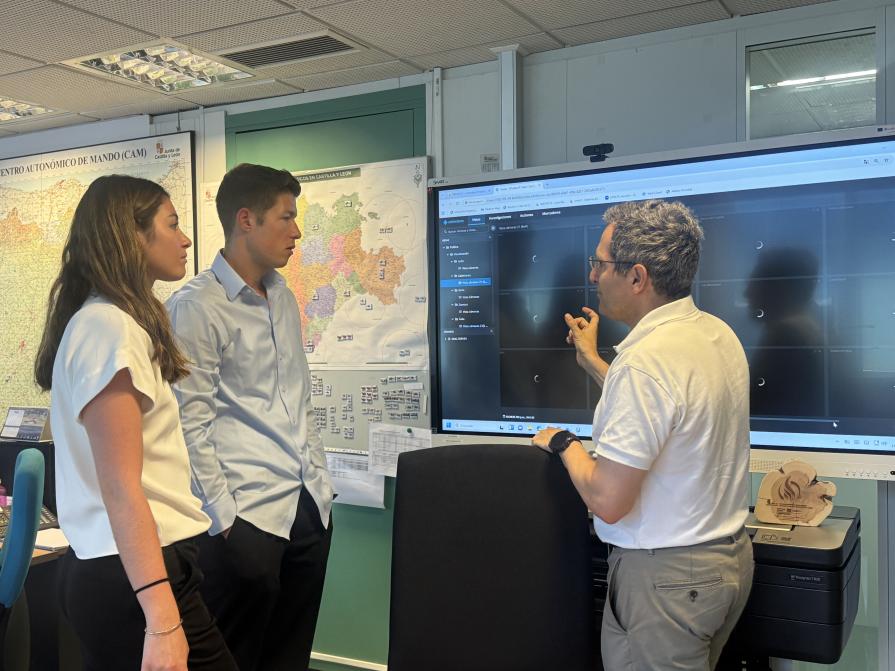
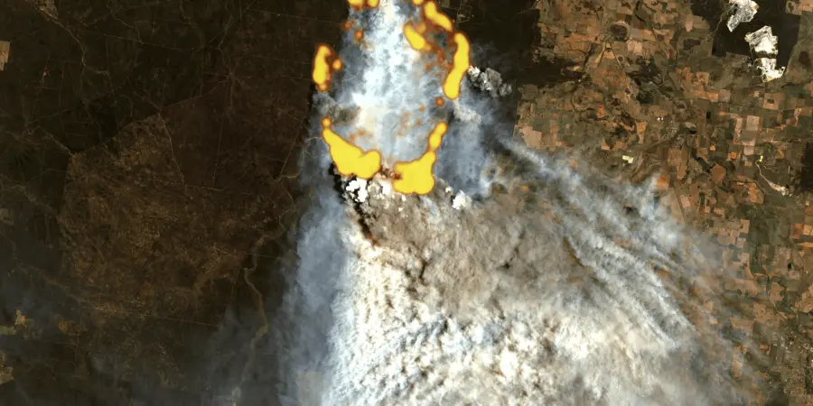
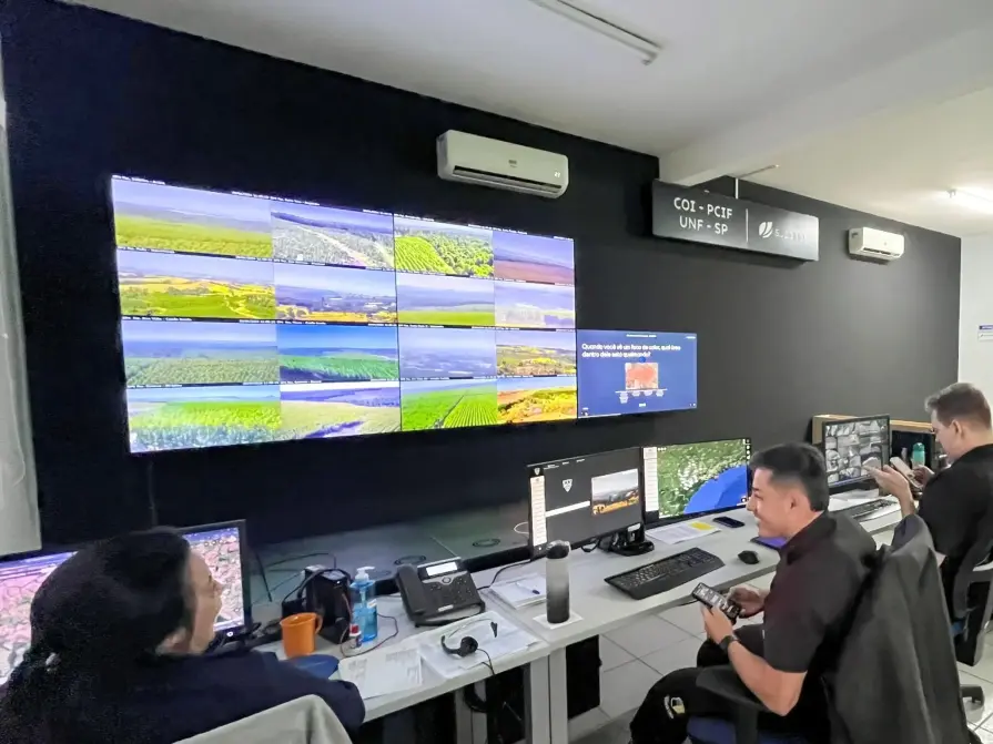
Detect and monitor wildfires in near-real-time
The first global wildfire intelligence solution providing risk assessment, early detection, near-real-time monitoring, and damage analysis using data from 25+ satellites. With AI-powered detection and continuous coverage, it delivers fast alerts, tracks fire progression 24/7, and provides precise insights on location, perimeter, and intensity to support rapid response.
Model wildfire behavior to optimize your response
OroraTech’s Fire Spread provides wildfire growth modeling for instant decision-making. With time-stepped visualizations, it predicts fire direction, speed, and size, enabling proactive response planning. Simulate fire progression over the next 24 hours, adjust parameters to real-world conditions, and prioritize resources to protect the most vulnerable areas.
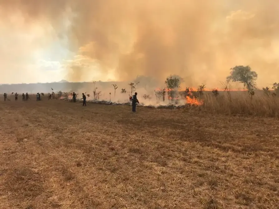
Assess fire impact and plan restoration
OroraTech’s Burnt Area delivers high-resolution burn scar mapping every 2–3 days using before-and-after satellite imagery. Quickly assess the extent and severity of fire damage to guide recovery efforts. With detailed fire scar detection, burn severity analysis, and fast post-fire data, it supports effective restoration planning.
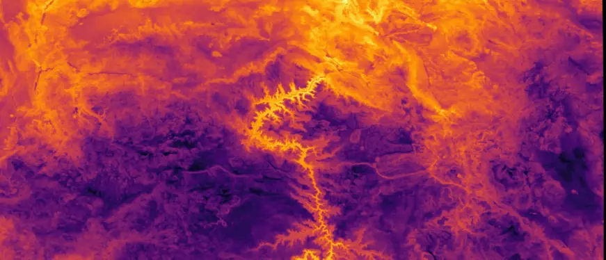
Advanced thermal mapping for precision monitoring
Coming soon: OroraTech’s Land Surface Temperature provides continuous thermal data to track environmental conditions and detect heat trends across forests. Monitor land surface temperature variations, analyze historical and real-time trends to identify thermal anomalies, and enhance situational awareness.
Trusted by industry leaders across the globe
USFS Niassa National Reserve
"The Niassa Special Reserve in northern Mozambique faces a huge problem of forest fires that every year cause environmental, social, and economic damages. Thanks to OroraTech's WFS we are able to monitor the wildfires as well as gather the information needed to analyze their spatio-temporal pattern which is a very important component for the designing of an integrated fire management plan to address this problem within this conservation area."

Leonel M., Field Specialist
On a Mission To Save the Niassa Special Reserve: Home of the Last Great Elephant Population
Suzano
"By leveraging advanced mathematical modeling, we’ve revolutionized how we approach wildfire prevention. These models integrate critical data like wind speed, terrain, and biomass to predict fire impacts hours or days ahead, enabling strategic firefighting. Working alongside partners like OroraTech, we’ve protected millions of hectares and improved field team safety while advancing wildfire prevention worldwide."

Douglas О., Head of Security
A Matter of Scale: How OroraTech's Wildfire Solution Protects Suzano Forests
Tasmania Parks & Wildlife Service
"We were seeking a platform that could help us detect bushfires early. We have found OroraTech to be a great fit for our needs and it is aligned with our organization's mantra of - early detection and rapid response. While others provide satellite data, what sets OroraTech apart is its start-up culture, excellent customer liaison team, and commitment to meeting our needs. Members of the OroraTech team listen to our needs and are consistently improving the platform, we look forward to future developments and enhancements!”

Richard D., Fire Operations Manager
OroraTech & Tasmania Parks and Wildlife Service: Preserving Tasmania's Ecological and Cultural Heritage with Remote Sensing
Why choose our solutions

Global satellite network
Data from 25+ satellites for unparalleled coverage and detection capabilities.

Proprietary algorithms
Cutting-edge fire detection algorithms ensure reliability and robustness.

Comprehensive data set
Four years of wildfire history for advanced analysis and decision-making.

Actionable insights
Cluster hotspot detections for better fire front visualization and confidence levels.

Incident management
Classify heat anomalies to distinguish wildfires from industrial heat sources.

User-friendly interface
No hardware or maintenance costs, with an easy setup for immediate use.
Protect your forests with faster wildfire detection
Book a live demo with one of our specialists to see how OroraTech can help you detect, assess, and monitor fires across your forest assets.