Scalable thermal data for climate monitoring and resilience
Detect environmental stress earlier, monitor heat patterns at scale, and support faster, better-informed decisions across climate applications.


Scalable thermal data for climate monitoring and resilience
Detect environmental stress earlier, monitor heat patterns at scale, and support faster, better-informed decisions across climate applications.
Make better decisions with reliable insights
As climate change accelerates, early detection of environmental stress is more critical than ever. Thermal satellite data empowers action before damage occurs – protecting crops from drought, reducing urban heat, and improving industrial efficiency.
Early warning = Timely action
Detect temperature anomalies before visible symptoms appear – enabling faster decisions, damage prevention, and reduced response costs.

Make the invisible visible
See surface heat patterns invisible in traditional imagery. Detect hidden stress from drought, overheating, or infrastructure inefficiencies.

Scalable, reliable, and objective
Thermal data from space delivers large-scale, consistent, and unbiased insights – empowering climate-smart decisions across sectors.
Thermal intelligence for every climate challenge
From agriculture to urban resilience, thermal satellite data helps tackle diverse challenges with precision. Explore how OroraTech supports smarter decisions across sectors.
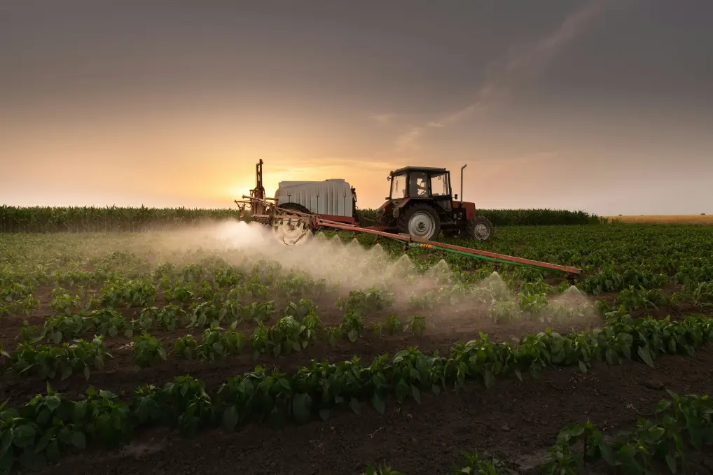
Boost crop resilience with early stress detection
- Act faster than vegetation indices
Detect crop stress and recovery earlier – before it shows in NDVI – enabling proactive decisions. - Optimize irrigation and water use
Identify over- or under-irrigated zones, improving yield while reducing water and energy waste. - Improve forecasting and yield models
Enhance the accuracy of crop performance predictions by factoring in heat stress, microclimates, and thermal growth trends.
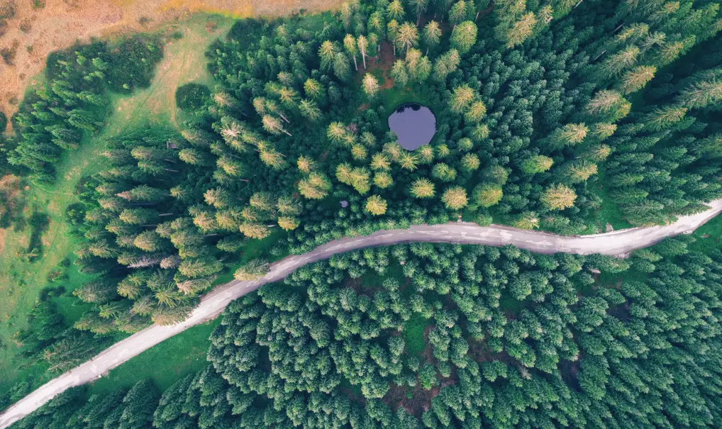
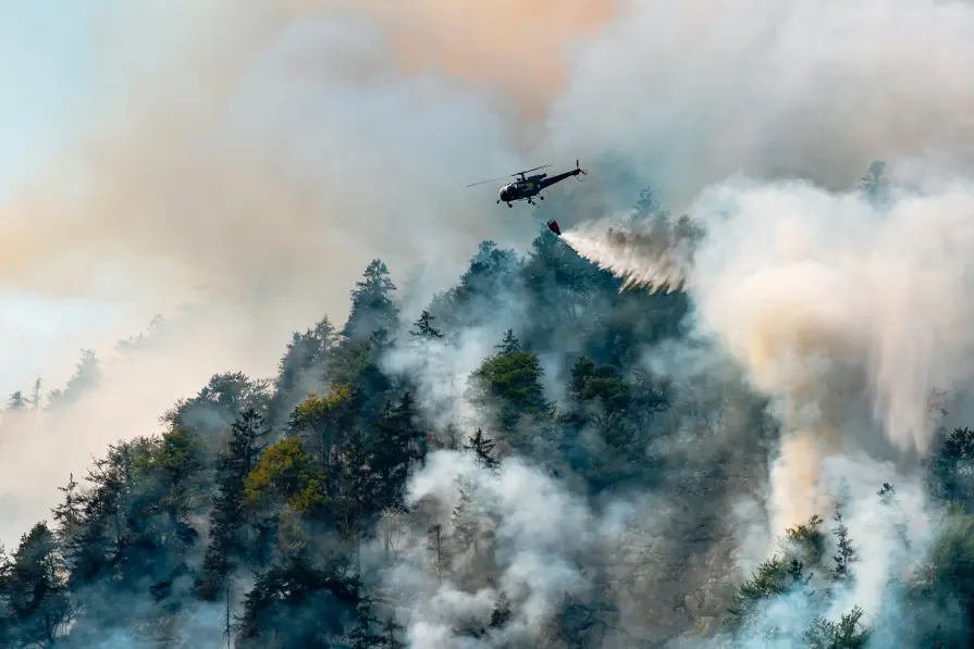
Protect forests before the damage is visible
- Detect stress before visual decline
Identify heat buildup from water stress, fragmentation, or disease – improving early warning systems. - Monitor microclimates at scale
Track stand-level thermal conditions, forest-edge heat islands, and restoration cooling trends to support forest planning. - Support valuation and carbon assessments
Use temperature patterns to assess canopy health and identify underperforming carbon sinks – enhancing carbon monitoring and climate finance efforts.
Design cooler, healthier cities with thermal intelligence
- Identify and monitor urban heat
Detect heat-retaining areas and reveal citywide temperature patterns to prioritize interventions and reduce exposure to extreme heat. - Guide planning and resilience strategies
Use thermal data to support tree planting, green roofs, and reflective surfaces – while measuring the impact of climate adaptation efforts over time. - Support early warnings and equitable action
Strengthen heat risk forecasts and highlight the most affected neighborhoods to ensure fairer resource allocation and better protection for vulnerable communities.
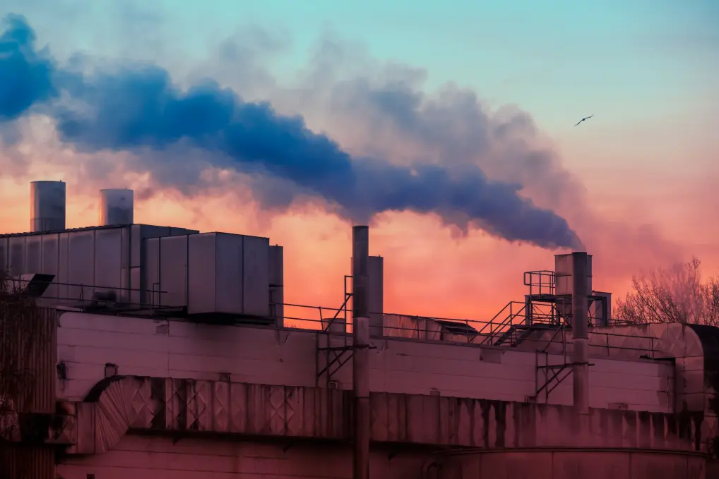
Track global industry activity with thermal precision
- Monitor operational status remotely
Detect if key facilities are active or idle – enabling strategic oversight of suppliers, competitors, or critical infrastructure worldwide. - Estimate production capacity over time
Track heat intensity at industrial sites to assess output levels and forecast movements in supply chains or commodity flows. - Reveal economic activity trends by region
Compare thermal patterns across industrial zones to detect slowdowns, recovery, or macro shifts – supporting better forecasting and investment decisions.

Strengthen maritime decisions with thermal insights
- Optimize vessel routing and reduce costs
Identify ocean currents and temperature zones that affect fuel efficiency, enabling smarter navigation and lower operational impact. - Protect ecosystems and manage fish stocks
Detect sudden ocean temperature changes to forecast harmful algal blooms and support sustainable fisheries. - Support aquaculture and climate resilience
Monitor marine conditions to support fish farming and enhance long-term resilience through better weather and ocean forecasts.
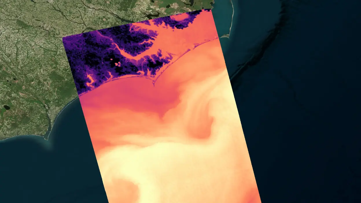
Detect and understand surface heat – before it becomes a problem
Land Surface Temperature offers high-resolution, continuous thermal monitoring of land environments. It supports earlier interventions, smarter resource use, and better decision-making across key climate-sensitive sectors.
Detect early thermal stress in crops
Monitor evapotranspiration changes and surface heat anomalies to flag water stress or suboptimal growing conditions before yield is impacted.
Reveal signs of forest degradation
Track canopy and soil temperature shifts that indicate stress from drought, thinning, or disease – well before visible symptoms emerge.
Map urban heat dynamics with precision
Continuously monitor surface temperature at the neighborhood scale to identify critical hotspots and evaluate the impact of cooling interventions.
Monitor industrial activity from space
Observe operational heat signatures over time to determine production status, track infrastructure use, and compare activity across regions.
Thermal intelligence to support safer, smarter maritime operations
Coming soon: Sea Surface Temperature (SST) delivers daily thermal monitoring of marine environments, helping maritime stakeholders detect ecological change, optimize logistics, and support climate adaptation in oceans and along coasts.
Support fuel-efficient navigation
Identify thermal ocean patterns and current zones that influence vessel speed, fuel use, and route optimization.
Anticipate ecological stress event
Detect sharp temperature anomalies that can indicate harmful algal blooms or broader ecosystem disruption.
Stabilize aquaculture operations
Ensure species-specific thermal conditions are maintained by monitoring temperature-sensitive fish farming zones.
Improve climate models and coastal planning
Feed high-quality SST data into forecast systems to track monsoons, storms, and long-term ocean variability.
Trusted by industry leaders

German Space Agency (DLR)
“Germany has a long-standing tradition of fostering collaboration and sharing knowledge. Partnering with OroraTech allows us to provide German scientists and application developers with the high-quality thermal data they need to drive impactful research and explore its innovative value as we build a more sustainable future for all citizens.”

Godela R., Head of Earth Observation
OroraTech and German Space Agency Deliver Thermal Data to Researchers & Scientists in Multi-Year Contract
European Commission
"What OroraTech has developed is closely aligned with the goals many in the field have been striving toward – a practical, integrated tool for improving wildfire response. The platform brings together an exceptional number of satellite sources, allowing a level of fire monitoring that feels nearly real-time, especially valuable in complex or fast-moving fire situations."

Pietro C., Project Officer – Scientific Research
OroraTech Signs a Multi-Million Contract to Deliver Data to the European Union
Discuss your climate application with our team
Speak with our specialists about your monitoring requirements and learn how scalable, space-based thermal data can support climate analysis, resilience planning, and applied decision-making.
How we make a difference

Global coverage
Get precise thermal data across the globe, including remote or hard-to-reach areas, updated consistently for ongoing environmental awareness.
Daily monitoring
Access surface temperature data with multiple revisits per day to track heat trends and changes in near-real-time.

High-quality detection
Monitor at up to 80m spatial resolution, enabling targeted monitoring for agriculture, urban environments, and natural ecosystems.

Seamless data delivery
Create efficient data pipelines through easy API integration – designed for effortless use and flexible adoption.