Closing the Afternoon Gap: Near Real-Time Wildfire Detection When It Matters Most
Eliminating Blind Spots: How OroraTech Delivers 24/7 Wildfire Intelligence
We’re on a mission to deliver the most comprehensive, real-time wildfire monitoring available. This requires continuous satellite coverage that can capture fires as they ignite and intensify — not hours later. That’s why Fengyun-3E is a key addition to our network. By adding an observation pass in the afternoon, Fengyun-3E helps us fill a critical gap in wildfire detection as we prepare to launch our OTC-P1 in March/April 2025 and OTC-P2 in November 2025.
The Afternoon Gap in Satellite Coverage
Public satellites, including those integrated into our Wildfire Solution, face a generality problem. Designed for broad Earth observation, their focus isn’t specifically on wildfire monitoring. While this data remains invaluable for wildfire detection and management, their orbits limit data collection to fixed times of day, leaving gaps during critical late-afternoon hours.
These satellites follow a sun-synchronous orbit, passing over regions at the same times every day – usually in the morning and evening. While sufficient for some applications, this fixed schedule leaves a significant blind spot during the late afternoon, a time when wildfires are most likely to ignite & intensify.
This “Afternoon Gap” results in fewer satellite observations during the hours when fires often peak in activity. Without consistent updates, tracking fire spread and intensity in real-time becomes a challenge, potentially delaying critical response efforts. While we are quickly rolling out our own satellite constellations to address this issue, we have already integrated a key solution to bridge the gap.

Integrating Fengyun-3E
Fengyun-3E, a meteorological satellite launched in 2021, is the latest addition to our network. While it remains a multi-purpose public satellite, its orbit is specifically designed to provide late-afternoon and very early-morning data. These observations are critical for imaging fires at their peak intensity, enabling Wildfire Solution to deliver timely detections and spread predictions. Fengyun-3E not only fills a current gap but also provides a glimpse into the advanced capabilities of OroraTech’s future satellites.
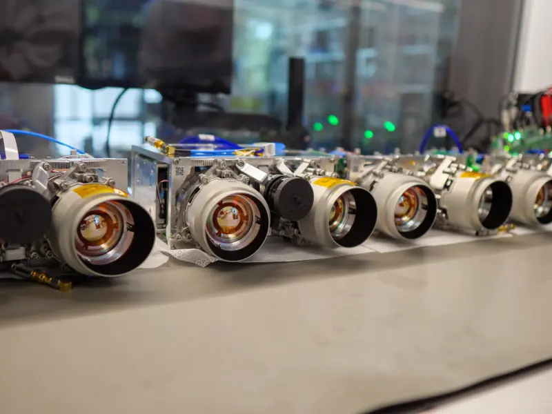
In 2025, we will be launching two orbital planes, OTC-P1 and OTC-P2, each with eight satellites purpose-built for wildfire detection & monitoring. These advanced satellites will offer faster onboard processing, improved spatial resolution, and dedicated sensors to eliminate gaps in wildfire monitoring.
Advantages of Fengyun-3E
More Observations for All-Day Detection Coverage
Fengyun-3E boosts our observation rate by adding two extra daily scans – late afternoon and early morning – covering high-risk hours when wildfires are most active. This ensures timely data, allowing for more detections, better tracking, and a deeper understanding of fire behavior – all of which help our customers make faster, more informed decisions.
More Data = Better Decision Making
Expanding our satellite network with Fengyun-3E and soon with OTC-P1 & OTC-P2 isn’t just about filling gaps. It’s about increasing the quality, frequency, and reliability of the wildfire data we deliver to our users every day. More satellites mean more up-to-date information, which translates to faster response times and more effective firefighting strategies on the ground.
Exclusive Access
OroraTech is the only wildfire intelligence provider utilizing Fengyun-3E’s data. This exclusivity gives customers a competitive and unique edge with real-time, targeted insights that no one else can match. By integrating Fengyun-3E into our network, we’re reinforcing our commitment to leading wildfire detection and response solutions.
What’s Next: OroraTech’s OTC-P1 & OTC-P2
Fengyun-3E marks the beginning of a new era. In early 2025, we’re launching OTC-P1, the first in a series of OroraTech satellite constellations. This will be followed by OTC-P2 in late 2025. Each of these planes has eight satellites with purpose-built wildfire detection sensors, providing seamless, 24/7 wildfire monitoring across key regions. They represent a significant leap forward compared to public satellites, offering fast onboard processing for near-real-time detection and a refined 200m spatial super-resolution for a more detailed view of the fire size and location tracking. This future network will set a new benchmark for wildfire data accuracy, speed, and coverage.
Where Fengyun-3E Data Is Available
Fengyun-3E’s coverage currently spans high-risk wildfire regions, including Australia, Europe, and parts of Chile, USA, and Argentina. Customers in these areas will benefit from faster detection and more reliable updates during critical fire periods. We will be adding this coverage and expanding into more regions throughout next year.
For detailed coverage information specific to your region, reach out for a comprehensive coverage map.
Ready to Close the Afternoon Gap?
Curious how closing the afternoon gap can improve your wildfire response? FENGYUN-3E is a part of our Active Fire Plus package, the most advanced wildfire detection solution to date. Schedule a demo with us or contact your customer solutions representative today. We’re leading the charge in wildfire intelligence and are excited to bring these advantages to your operations.