Reinventing fire management at the Katingan Mentaya
Katingan Mentaya Project
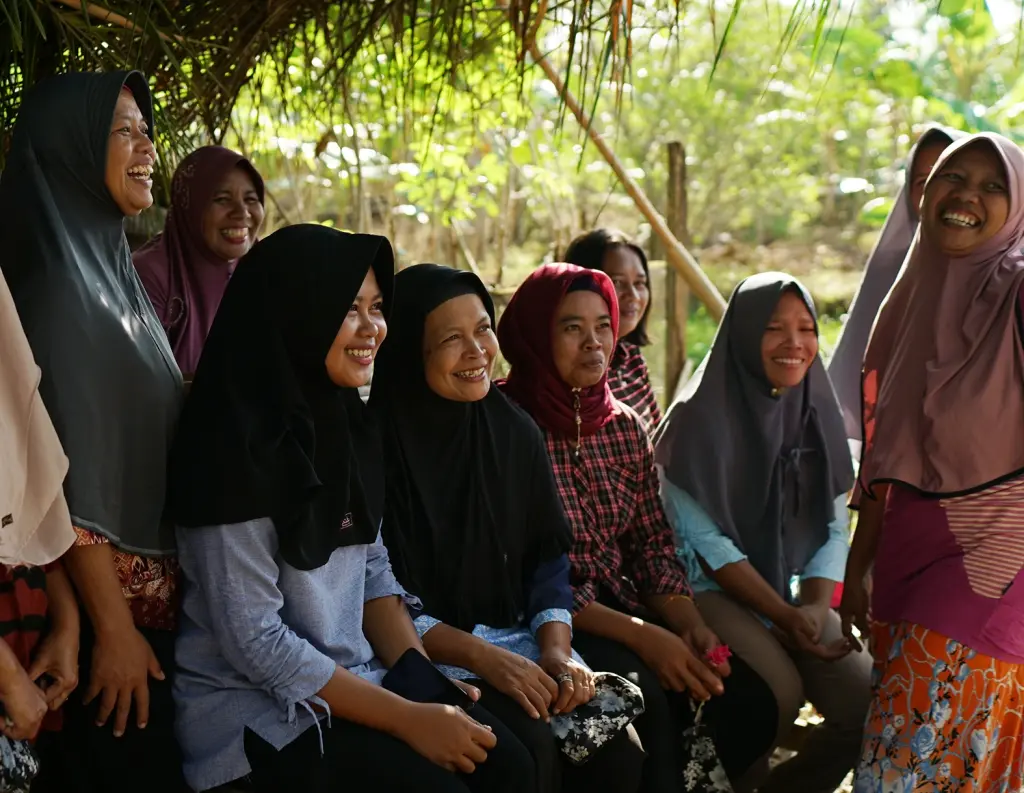
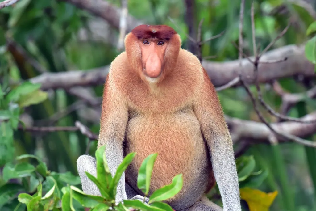
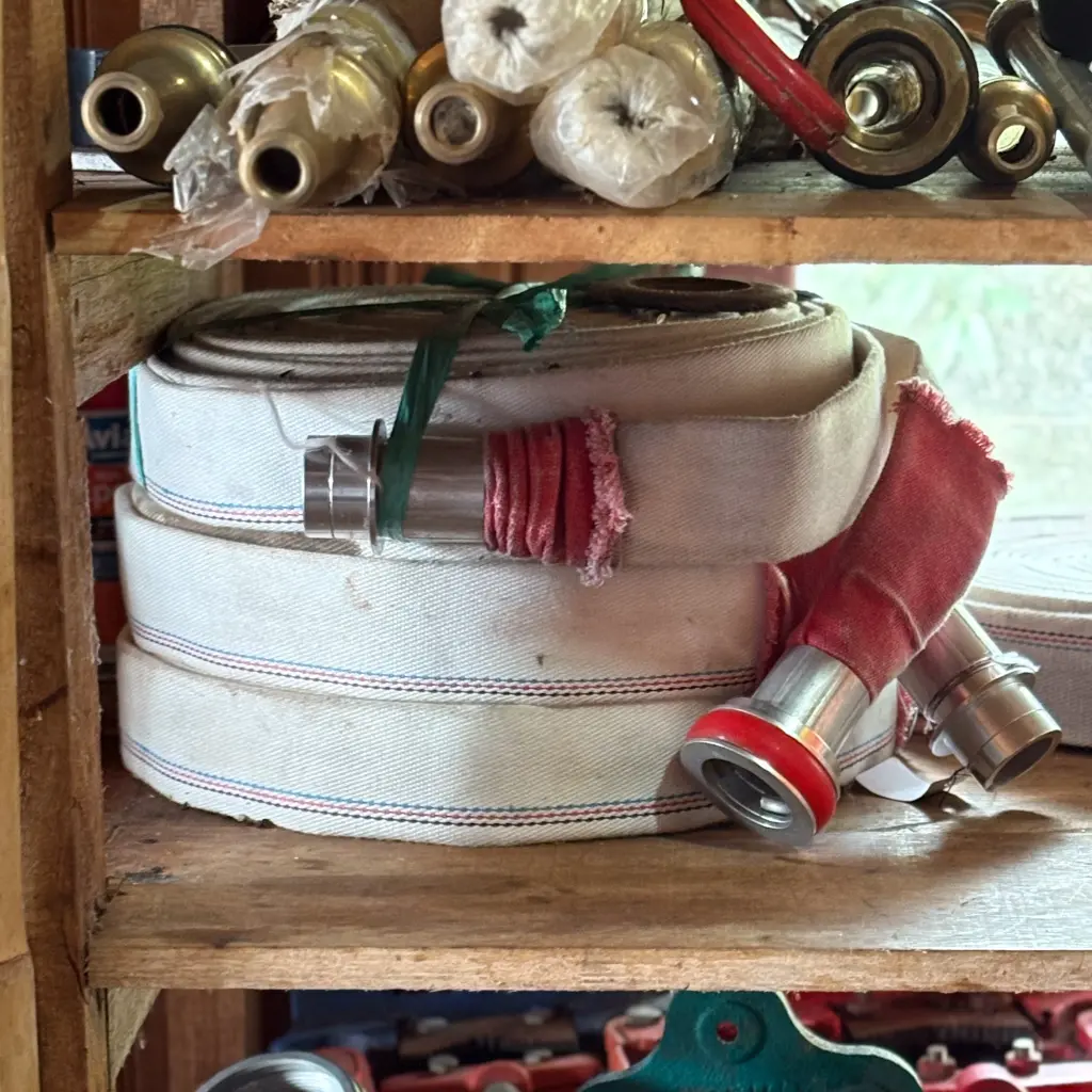
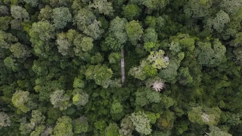
In the summer of 2022, the Katingan Mentaya Project was looking for a way to improve wildfire outcomes in the project area in Central Kalimantan on the island of Borneo, Indonesia. This land is home to intense levels of biodiversity, including 5-10% of the remaining Bornean orangutans on planet Earth and many unique species of flora and fauna. The project had already done a huge amount of work to protect the forest area, creating a deep collaboration with PT Rimba Makmur Utama (often shortened to PT RMU) on the ground to employ over 1,063 local villagers as firefighters, protecting over 157,875 hectares (370,163 acres) of forestland. However, with increasing wildfire risk comes a need for more advanced wildfire tools.
In 2023, Indonesia saw a surge in wildfires, with the large increases being seen on the island of Borneo. Driven largely by illegal logging, “slash and burn” techniques for plantation preparation, and mining operations, the areas needed a more technological solution to overwatch the land for protection and augment the initiatives already underway on the ground.
OroraTech was contacted by Permian Global and PT RMU last year to provide that constant observation for the Katingan Mentaya Project, using our constellation of 20+ thermal satellites to watch every single hectare of the land for wildfire and other thermal anomalies. We were able to train these firefighters in our Wildfire Solution, providing detection and management tools for the entire project area.

”Information from OroraTech’s Wildfire Solution allows for earlier hotspot detection and monitoring of areas at risk of forest fires,” commented Gede Widyana Sukarsa Danu, Head of Mendawai Zone in the Katingan Mentaya Project. “This service also provides practical reports that use 20+ satellite sources and wildfire algorithms, offering a confidence level that aids in mitigation strategies. Overall, OroraTech significantly aids mitigation efforts against forest and land fires in the Project area.”
Peatland wildfire management
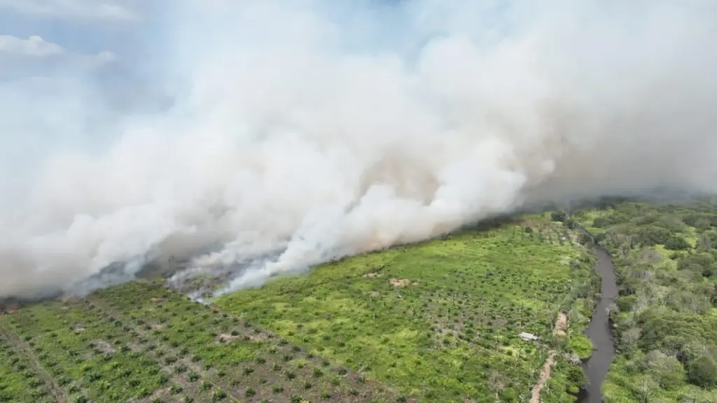
In this area, peat is the dominant type of soil - a brown deposit that is formed by the partial decomposition of vegetable matter and a substance that is often used for fuel. Despite it being soil in appearance, it actually burns - albeit slowly - creating uniquely difficult wildfire situations. Unlike surface fires, peat smolders deep underground, consuming layers of the decomposed plant matter that has accumulated over thousands of years. These fires are not only a local hazard but also a global concern, as peatlands store vast amounts of carbon that are released as greenhouse gases when burned.
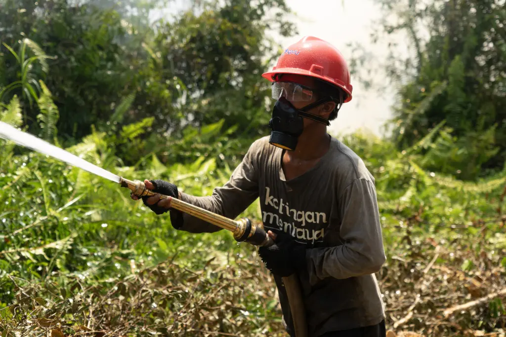
What makes peat fires especially difficult to fight is their hidden, persistent nature. Even after flames on the surface are extinguished, the fire can continue burning underground for weeks or months, traveling beneath the soil and reigniting elsewhere. This means above-ground fires can appear at a moment’s notice. Traditional firefighting methods like water bombing or creating firebreaks are often ineffective because the heat and combustion are buried beneath meters of peat, requiring constant monitoring and enormous volumes of water to fully suppress.
That’s why early detection and continuous monitoring - like what satellite-based thermal systems provide - paired with ground initiatives, are critical strategies for managing peat fires and protecting these landscapes. For the project, this means a full 360° strategy including planning & preparation, monitoring and surveillance, active firefighting, and continuous community education awareness.

“Firefighting is just one part of wildfire management,” says Taryono Darusman, R&D Director of Katingan Mentaya Project. “The most effective way to deal with wildfires is to prevent them from starting at all - which is why we invest heavily in education and preparation. But prevention alone isn’t enough. Ongoing monitoring, active land management, and rapid response strategies are essential. That’s why we implement a comprehensive wildfire plan at every stage, supported by the latest technology.
Eyes in the sky, people on the ground
Combining satellite imagery like ours with on-the-ground programs creates a more effective, resilient wildfire management system. While local teams provide critical manpower, knowledge of the terrain, preventative preparation, and rapid response capabilities, satellite monitoring ensures no fire goes undetected - even in remote or inaccessible areas. Together, these approaches close the gaps between prevention, detection, and suppression, leading to faster response times and fewer hectares lost to fire.
The Wildfire Solution doesn’t stop at local outcomes. With our global satellite network, both on-the-ground operatives and carbon credit program managers gain continuous visibility into fire risks and incidents across their entire project areas - no matter the country or time zone. This enables better reporting, proactive management, and streamlined communication between stakeholders at every level.
Outcome: Higher credibility and validation for projects
Beyond operational benefits, these tools also make it easier for third-party validators to confirm safety and risk mitigation in carbon credit projects with the ability to see all fire activity within a given area at a glance. Furthermore, tools like this give auditors peace of mind knowing there are robust wildfire detection and management tools in place.
By integrating satellite monitoring into wildfire strategies, carbon credit projects not only reduce the risk of catastrophic fires but also increase investor confidence and long-term project viability. The ability to provide real-time data and verifiable fire management practices enhances transparency across the entire value chain, from local communities to global buyers of carbon credits. This proactive approach doesn’t just protect the forest today; it ensures the forest’s value is safeguarded for decades to come, strengthening both environmental outcomes and financial returns.
Thanks to improved fire monitoring tools like ours and their robust preventive and response strategy, Katingan Mentaya’s project rating was recently increased from A to AA, reflecting stronger safeguards and reduced wildfire impact.
"The enhanced transparency gained from continuous satellite monitoring helped us demonstrate our risk management to independent auditors," said Javier Ramos from Permian Global. "It provides reliable, measurable evidence of the forest's condition, helping ensure our efforts to protect the carbon stored in this landscape."
Conclusion: Innovation with Impact
As carbon credit markets and their impactful decarbonization projects continue to evolve, robust wildfire management isn’t just an operational necessity - it’s a requirement for project credibility. OroraTech’s Wildfire Solution equips carbon credit projects with the monitoring, detection, and management tools needed to meet these expectations and protect their investments. Contact us today to learn how we can support your project’s wildfire resilience and strengthen your climate impact.