
See where wildfires are likely to start
Forecast where wildfire hazard is likely to increase in the coming days, so you can focus resources earlier and reduce risk to people, assets, and ecosystems. Powered by machine-learning trained on millions of real wildfire detections.

See where wildfires are likely to start
Forecast where wildfire hazard is likely to increase in the coming days, so you can focus resources earlier and reduce risk to people, assets, and ecosystems. Powered by machine-learning trained on millions of real wildfire detections.
OroraTech's Short-Term Fire Hazard: Key features
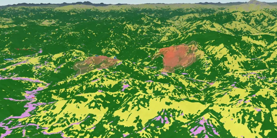
The newest addition to our wildfire management product portfolio strengthens early preparedness by identifying areas of elevated fire hazard days in advance. It uses real wildfire observations combined with environmental data to deliver daily updated hazard maps.

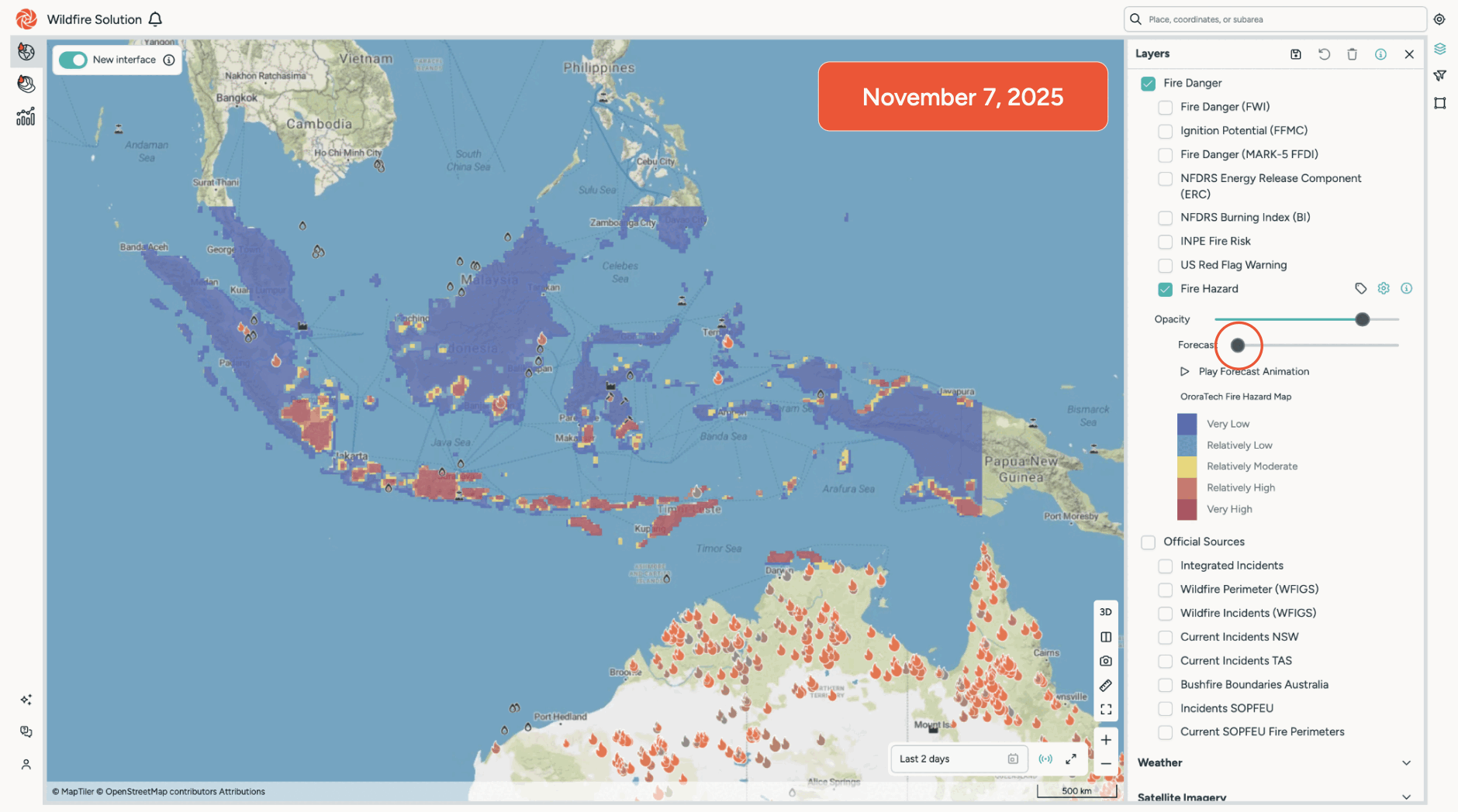
7-day outlook
Daily updated wildfire hazard maps provide visibility into elevated risk up to seven days in advance, enabling earlier awareness and more time to prepare.

Localized insights
Hazard estimates are informed by real wildfire observations and environmental context, delivering more spatially granular insights than weather-only indicators.

Operational wildfire preparedness
Built to support planning, prioritization, and preventive action by turning hazard forecasts into practical input for day-to-day wildfire operations.

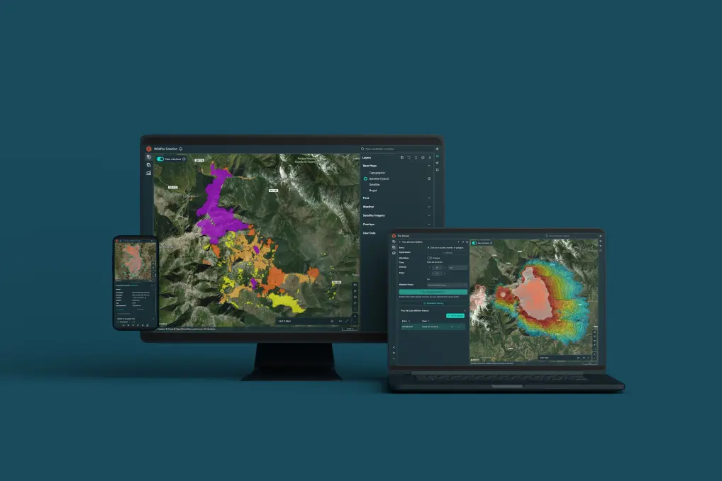
Seamless integration
Fully integrated into the OroraTech Wildfire Solution, enabling a smooth transition from hazard awareness to simulation and preparedness workflows.
How the model works
The model learns from global satellite-detected fire activity, enriched with weather, vegetation, and terrain data. This allows it to estimate where wildfire hazard is most likely to increase in the near future.

Fire observations
Built on millions of satellite-detected wildfire observations from over 35 satellite sources, including more than 10 of OroraTech’s own thermal infrared sensors. This ensures consistent, global fire intelligence based on real ignition events, not assumptions.
Environmental context
Weather models, vegetation indices, and terrain data provide the environmental context needed to assess wildfire behavior, capturing local fuel conditions, dryness, and topographic effects.
Machine-learning model
OroraTech’s in-house developed, proprietary machine-learning model is trained on real wildfire observations and environmental data to learn patterns that precede fire ignitions. This enables estimation of near-term wildfire hazard beyond static, rule-based indicators.
Validated against real wildfire activity
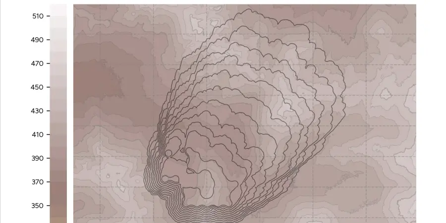
Short-Term Fire Hazard has been evaluated against observed wildfire detections and compared to traditional weather-based indicators. The model shows clearer spatial alignment with where fires actually occurred, avoiding broad, country-wide high-risk signals and providing more actionable, localized hazard insights for operational planning.
Explore Short-Term Fire Hazard with our experts
Discuss how short-term wildfire hazard forecasting can support your preparedness and planning workflows. Our experts will walk you through the capability, show how it integrates into the Wildfire Solution, and assess fit for your region and use case.
Discover the OroraTech Wildfire Solution
Short-Term Fire Hazard is part of OroraTech’s Wildfire Solution, an end-to-end platform for wildfire detection, monitoring, forecasting, and preparedness. Explore how satellite intelligence and predictive insights come together in a single operational environment.