
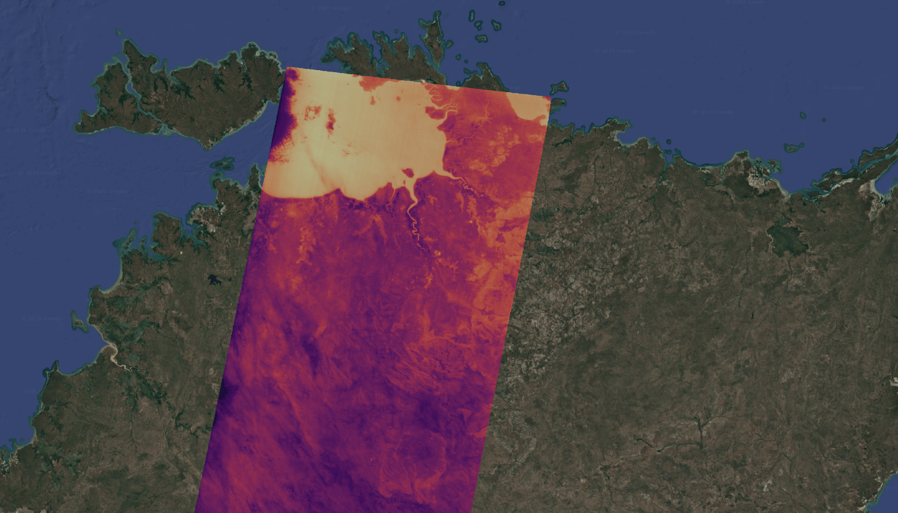
Detect. Respond. Protect.
Satellite-based bushfire (wildfire) intelligence for early detection, continuous monitoring, and operational response.
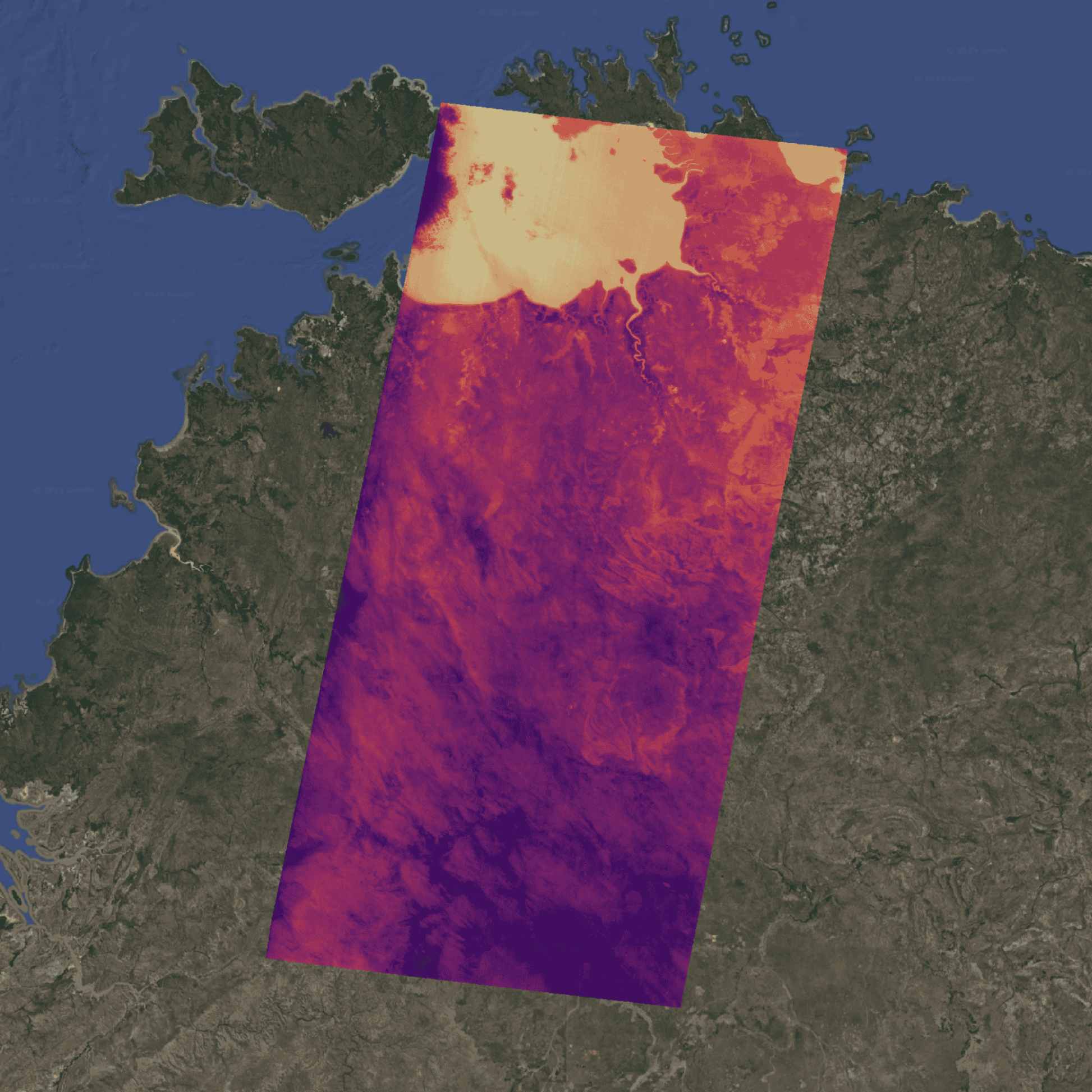
Detect. Respond. Protect.
Satellite-based bushfire (wildfire) intelligence for early detection, continuous monitoring, and operational response.
Take OroraTech home
Learn more about how satellite-powered bushfire intelligence supports fire agencies worldwide. Download our Wildfire Solution brochure, and if you’ve got curious young minds nearby, build your own paper satellite with our printable template.
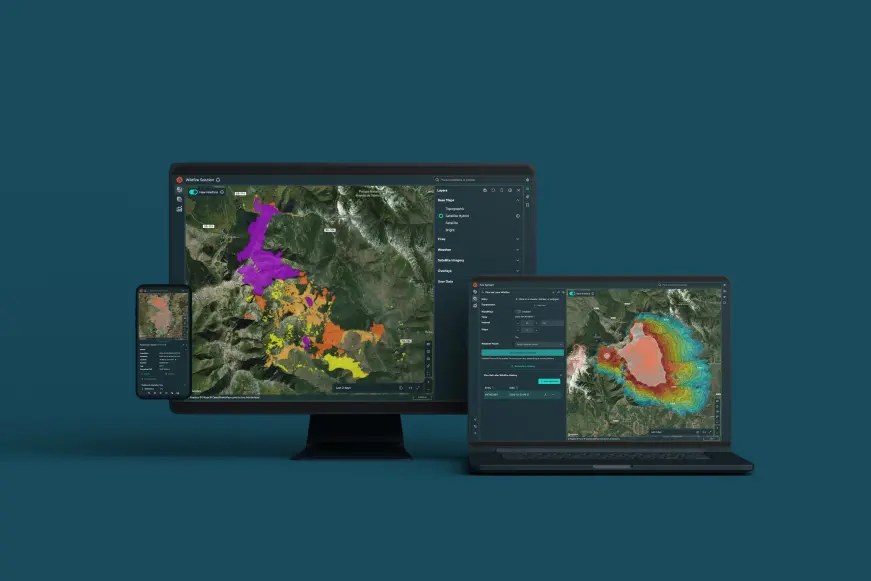
Download the Wildfire Solution brochure
Let’s talk. Complete the form below and one of our APAC representatives will be in touch.
Talk to our team
Connect with our team at AFAC to discuss bushfire monitoring, operational use cases, and how OroraTech can integrate into your agency's workflows.
Backed by the teams protecting Australia
Australian teams rely on OroraTech to detect bushfires earlier and respond with confidence. Hear how they're using satellite intelligence to protect their communities and assets.

Forestry Corporation New South Wales
"Through our collaboration with OroraTech, we have seen the continual improvement of the OroraTech platform and adaptation of the service to meet Forestry Corporation’s monitoring and reporting requirements. Noting the current gaps in detection caused by the timing of satellite passes, FCNSW is interested in seeing how early detection can be further improved through the addition of OroraTech’s thermal sensors."
Mike S., Manager of Innovation and Research
OroraTech Wins Contract to Improve Early Fire Detection in Australia

Tasmania Parks & Wildlife Service
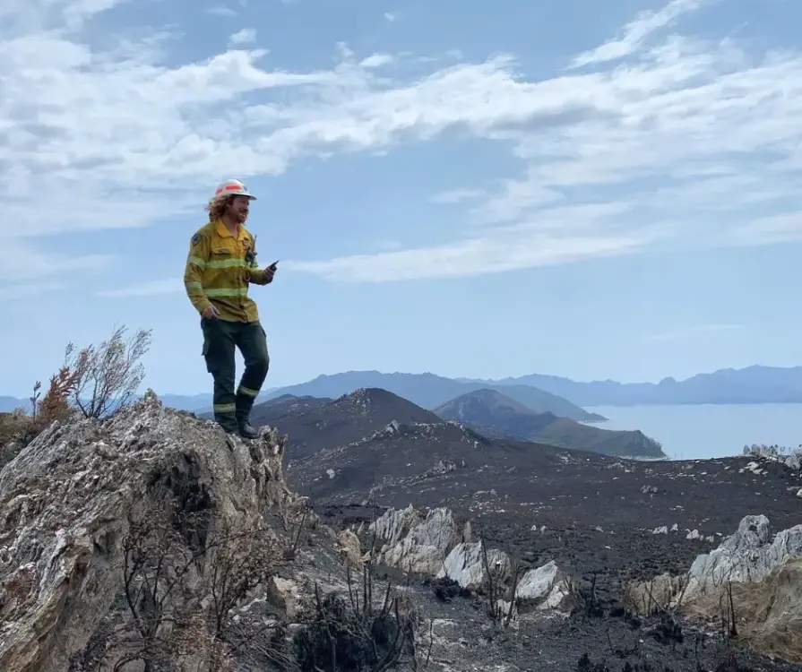
"We were seeking a platform that could help us detect bushfires early. We have found OroraTech to be a great fit for our needs and it is aligned with our organization's mantra of - early detection and rapid response. While others provide satellite data, what sets OroraTech apart is its start-up culture, excellent customer liaison team, and commitment to meeting our needs. Members of the OroraTech team listen to our needs and are consistently improving the platform, we look forward to future developments and enhancements!”

Richard D., Fire Operations Manager
OroraTech & Tasmania Parks and Wildlife Service: Preserving Tasmania's Ecological and Cultural Heritage with Remote Sensing
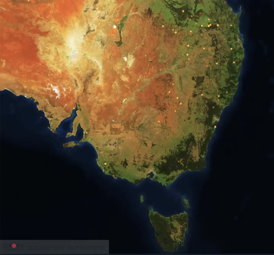
Wildfire snapshot from a real event
This snapshot shows how wildfire activity is detected and visualized in the platform. It provides a view of fire location, intensity, and development at a specific moment in time.
Comprehensive bushfire management
OroraTech supports decision-makers at every stage of bushfire management, before, during, and after, providing the critical information needed to plan actions and protect what matters most.
Risk assessment
Understand the fire risk and assess the local weather and vegetation conditions.
Fire Weather index: Access a 9-day forecast and detailed mapping of the fire risk.
Weather information: Stay informed about critical factors including wind speed and direction, temperature, lightning strikes, and humidity.
Vegetation & terrain analysis: Assess conditions using land cover, vegetation indices, and 3D maps.
Early detection
Receive instant alerts of active bushfires via different notification methods.
Data from over 35 satellites: Get precise detection and capture fires as small as 10x10 meters.
Automatic notifications: Receive instant email, WhatsApp messages, SMS, or in-app alerts within minutes of any new fire detections in your monitored areas.
Accurate location & fire area: Get precise location coordinates, data on fire intensity, and estimates of the affected area.
Fire confidence: Evaluate multiple factors to confirm if a heat anomaly is a genuine fire, reducing false alarms and enabling timely, cost-effective decisions.
Near-real-time monitoring
Continuous fire tracking: Monitor the active fire front and its development with regular updates.
Fire spread simulation: Benefit from our analysis of crucial fire drivers such as weather, topography, and fuel to estimate the potential fire spread.
Situational awareness: Stay informed with our customizable Incident Overview, displaying only the data you need for effective decision-making.
Post-fire impact analysis
Quantify burnt area automatically and estimate losses.
Burnt area: Utilize advanced technology for high-resolution mapping of burnt areas and severity assessment.
Fire statistics: Uncover patterns and trends in bushfire activity using our comprehensive historical dataset, automatic dashboards, and visualizations.
Fire origin & evolution: Observe fire progression over time.