Wildfire intelligence built for insurers and reinsurers
Monitor wildfire risk across your portfolio from ignition to containment. Our satellite-driven detection, monitoring, and post-fire data help insurers and reinsurers manage exposure, respond faster, and settle claims with confidence.
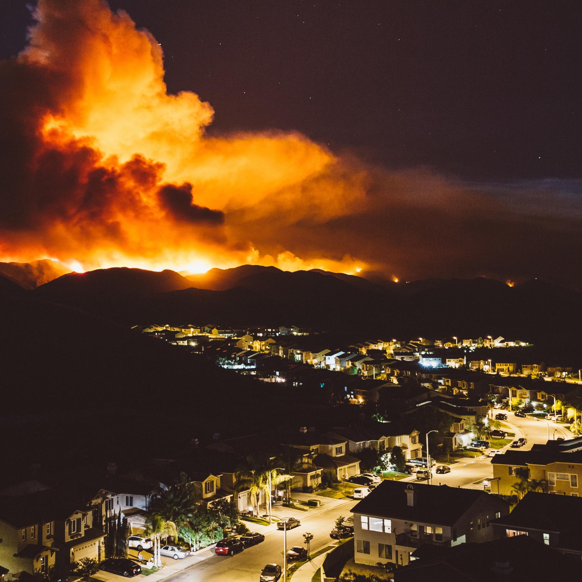
Wildfire intelligence built for insurers and reinsurers
Monitor wildfire risk across your portfolio from ignition to containment. Our satellite-driven detection, monitoring, and post-fire data help insurers and reinsurers manage exposure, respond faster, and settle claims with confidence.
Why we need to act now
Traditional risk tools are too slow and static to keep pace with current conditions. This leaves insurers unable to protect exposed assets, warn policyholders, manage portfolio exposure, or settle claims quickly once a fire hits.

Rising insured losses
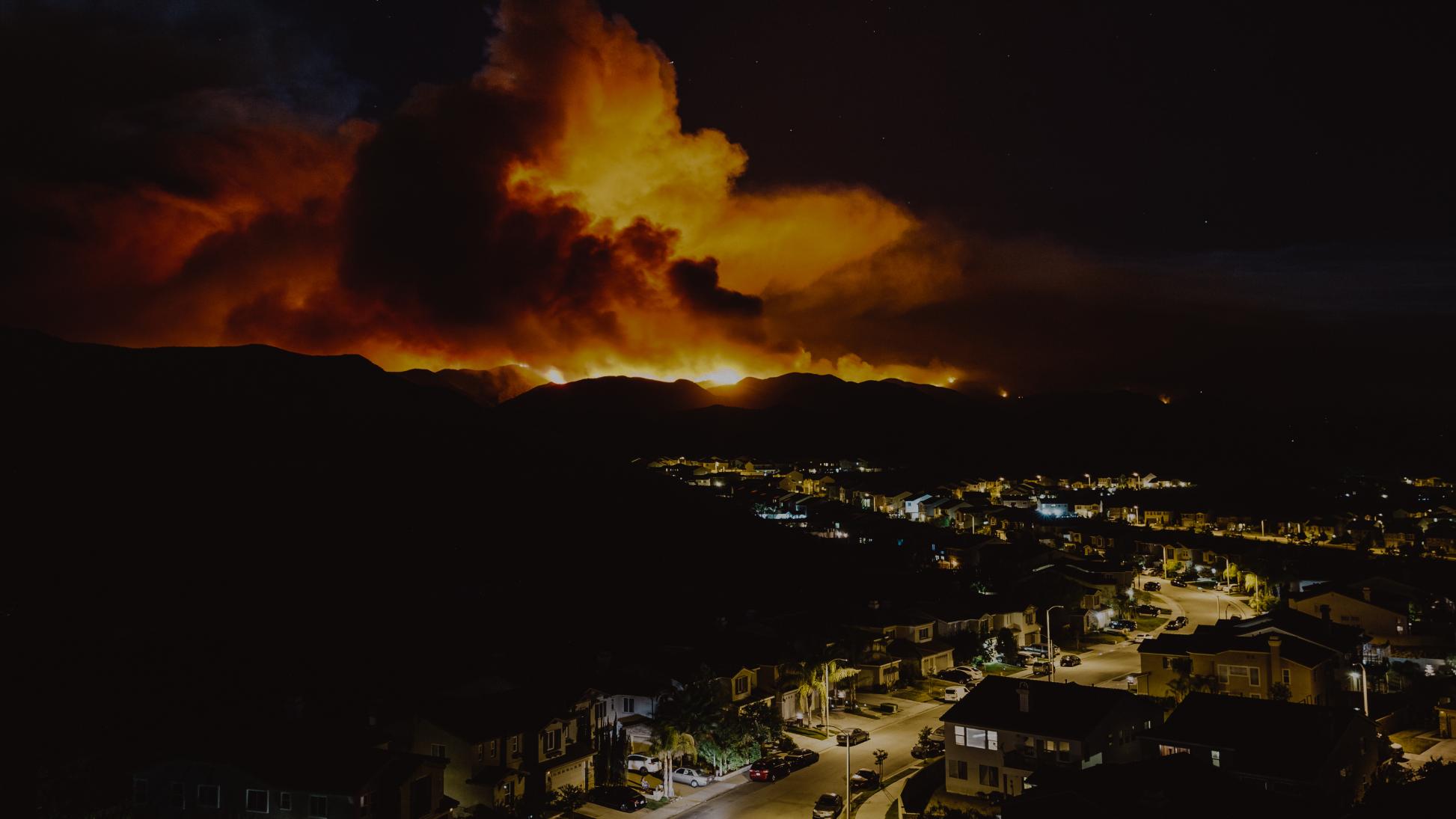
The 2025 LA wildfires alone are estimated at over $250 billion in economic losses - among the costliest natural disasters on record, and a clear signal that exposure monitoring hasn't kept pace with the scale of the risk.

A widening protection gap
Traditional risk tools rely on static, historical maps, and government data feeds that lag by hours or days, leaving insurers reacting to fires instead of anticipating them.

Slow, manual claims verification
High-resolution burn severity maps, refreshed every 2–3 days, give claims teams the detail they need to assess damage and prioritize response - no manual field survey required.
How we make a difference
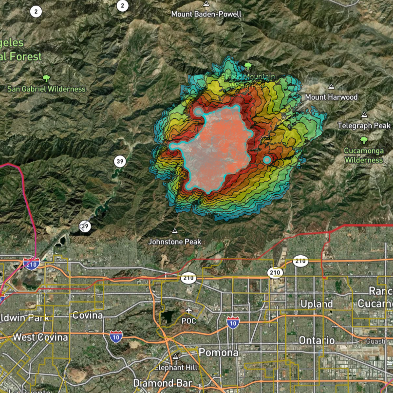
See risk in near-real-time, anywhere in your portfolio
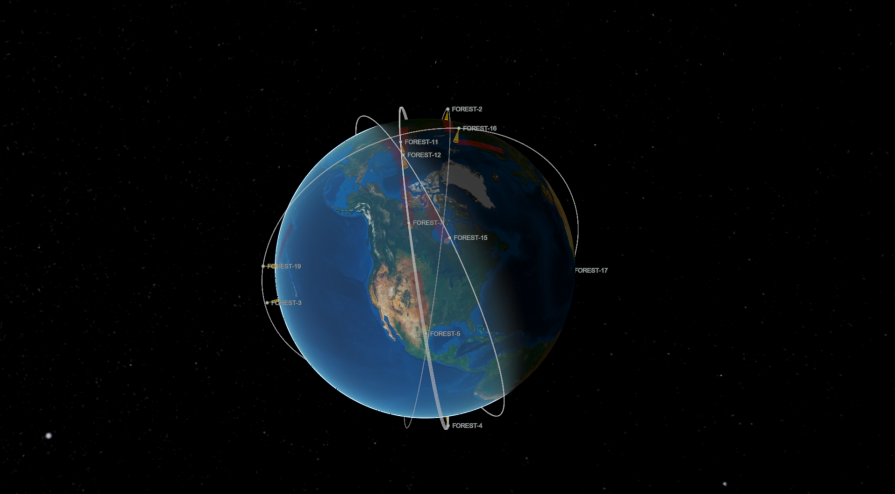
Our satellite network monitors insured assets and portfolios globally, 24/7 - independent of ground infrastructure or government reporting, even in remote or under-monitored regions.
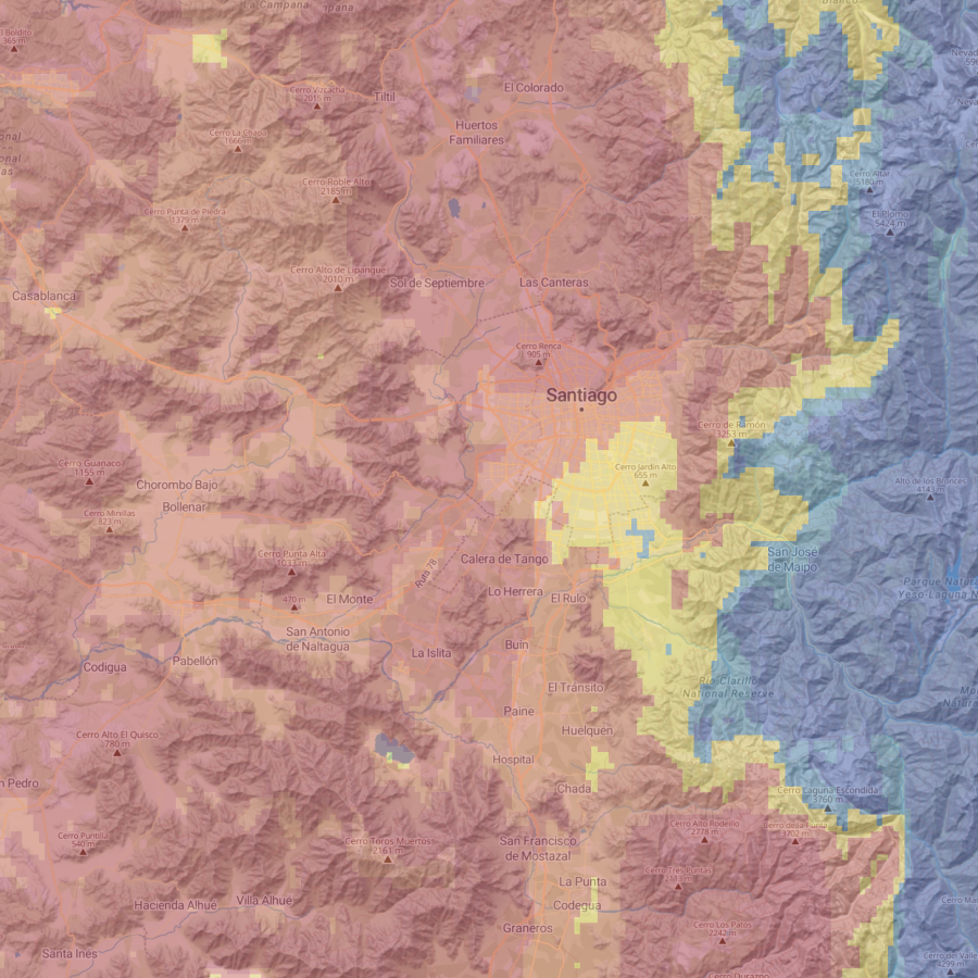
Move from reactive to proactive risk management
Fire Spread modeling and our Short Term Fire Hazard model let you understand not just where a fire is, but where it's going - and how the risk of exposure has evolved.
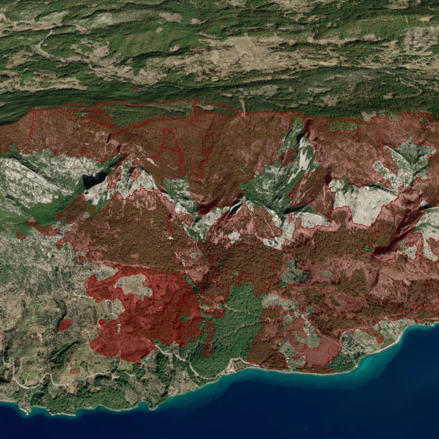
Turn burn scars into faster claims decisions
High-resolution burn severity maps, refreshed every 2–3 days, give claims teams the detail they need to assess damage and prioritize response - no manual field survey required.
Underwriting & Exposure vs. Claims & Loss Response
Wildfire risk touches every stage of the insurance lifecycle - underwriting, active events, and claims. OroraTech's Wildfire Solution platform, built on a proprietary satellite constellation, supports all three from one consistent data source.
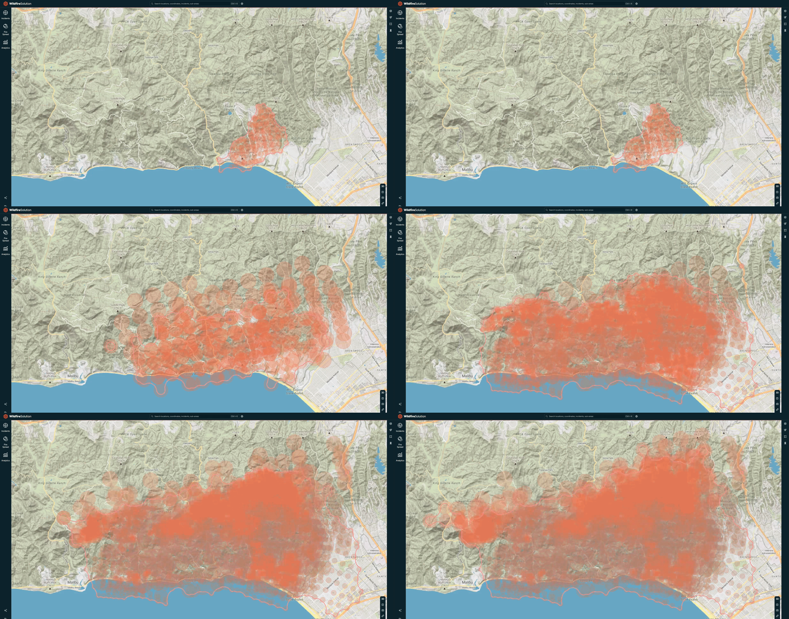
Underwriting - Exposure & risk awareness
Continuous global monitoring wildfire history gives underwriting and exposure teams an up-to-date view of fire activity and risk trends near insured assets. Our Short Term Fire Hazard model maps out risk exposure to portfolio 7 days in advance for planning and mitigation efforts.
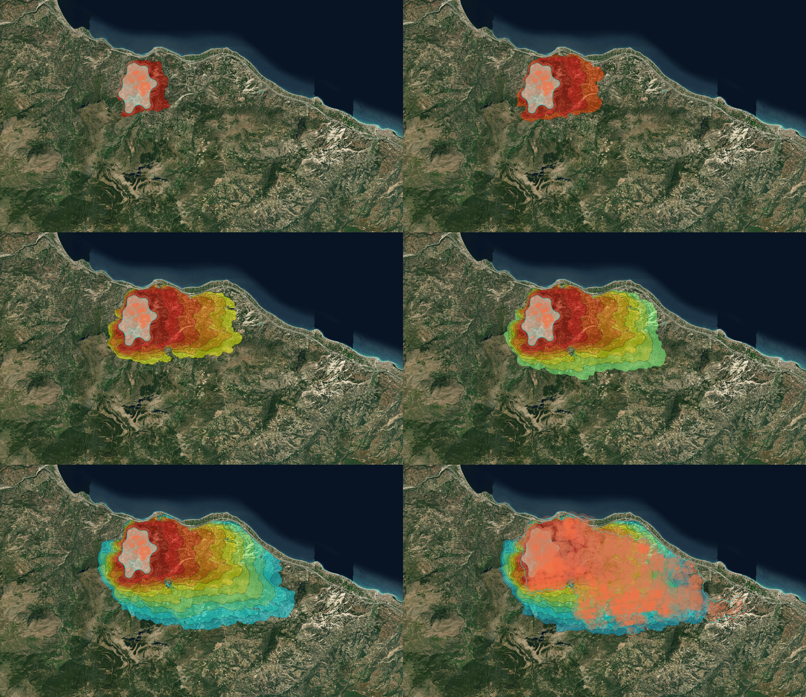
Claims - Post-fire recovery
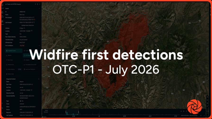
Near-real-time alerts flag ignitions within minutes, and Fire Spread simulations show where it will go next, supporting precaution calls and moratorium decisions as an event unfolds.
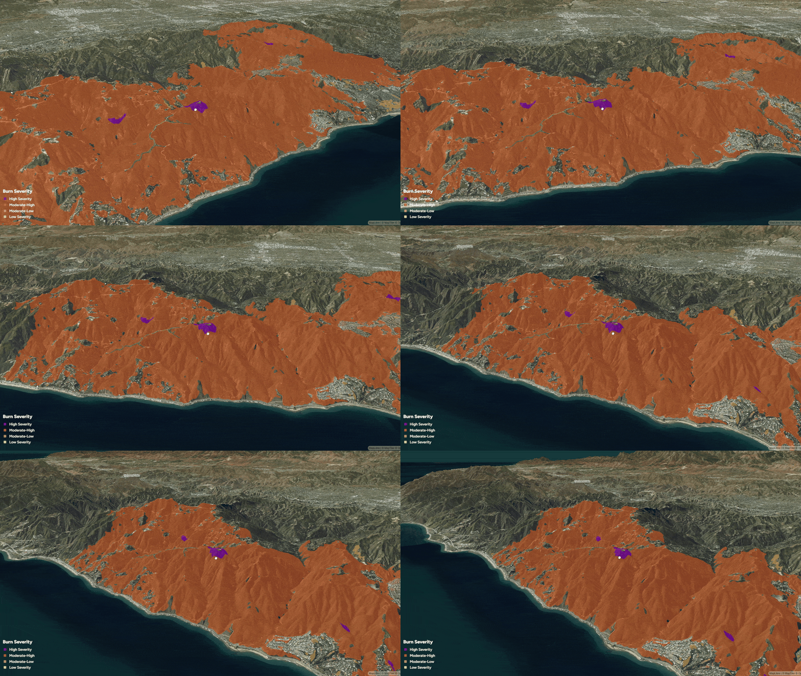
Accelerate restoration planning with post-fire insights
OroraTech’s Burnt Area solution delivers high-resolution burn scar mapping every 2–3 days, providing clear insights into post-wildfire impact. These timely updates support restoration planning and enable fast, transparent communication with insurers and carbon credit registries, accelerating the project recovery and credit verification process.
Why choose our solution

Portfolio level global coverage
24/7 satellite monitoring that doesn't depend on local infrastructure or public agency reporting - critical for multi-country portfolios.

Low-false-positive detection
Fuel-map cross-referencing and fire-confidence scoring turn raw satellite heat data into a reliable, actionable feed.

Precise, granular detection
Our satellite network and proprietary algorithms can spot fires as small as 4x4 meters.

Built to fit inside your existing risk platform
Designed for straightforward integration into NATCAT systems and cat modeling platforms already in use - clear documentation and a transparent clustering methodology mean technical teams can validate the data quickly, not just consume it.
Historical fire data for risk awareness
Four years of wildfire history supports exposure review and portfolio-level risk awareness.

Fast post-fire claims support
High-resolution burn severity maps delivered every 2–3 days at up to 20-meter precision and daily 200-meter low-latency data reduces manual inspection time and accelerating claims verification.
Trusted by industry leaders across the globe
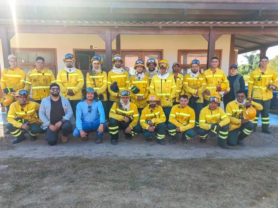

Permian Global
"In Brazil’s Rio Cautário project, we managed to reach zero fires in the protected area thanks to the combination of community training and satellite alerts from OroraTech. That progress also helped us improve our project rating from A to AA, increasing both the value and credibility of our carbon credits."

Javier R., Remote Sensing Analyst
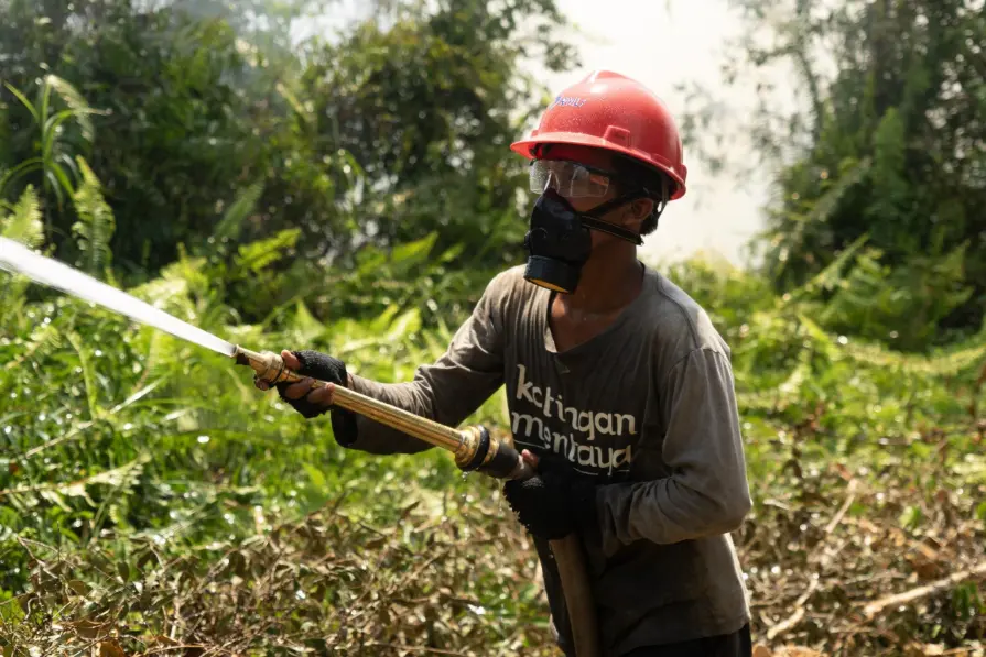

Katingan Mentaya Project
”Information from OroraTech’s Wildfire Solution allows for earlier hotspot detection and monitoring of areas at risk of forest fires. This service also provides practical reports that use 20+ satellite sources and wildfire algorithms, offering a confidence level that aids in mitigation strategies. Overall, OroraTech significantly aids mitigation efforts against forest and land fires in the Project area.”

I Gede Widyana Sukarsa Danu, Head of Mendawai Zone
Reinventing fire management at the Katingan Mentaya
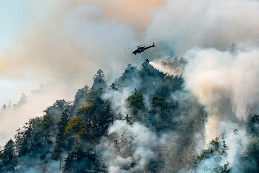

European Commission
"What OroraTech has developed is closely aligned with the goals many in the field have been striving toward – a practical, integrated tool for improving wildfire response. The platform brings together an exceptional number of satellite sources, allowing a level of fire monitoring that feels nearly real-time, especially valuable in complex or fast-moving fire situations."