Explore our new Wildfire Snapshot feature
Our Wildfire Solution helps organizations monitor wildfire activity from space. With Wildfire Snapshot, you can now view a static public preview of a single wildfire cluster through a simple link, no account required!
Explore our new Wildfire Snapshot feature
Our Wildfire Solution helps organizations monitor wildfire activity from space. With Wildfire Snapshot, you can now view a static public preview of a single wildfire cluster through a simple link, no account required!
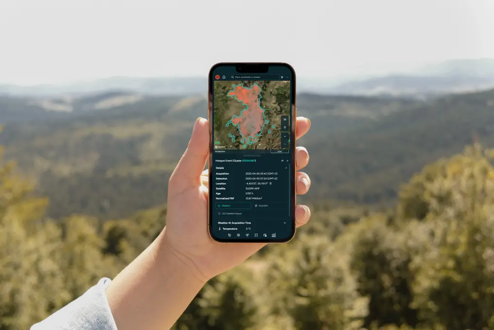
Explore key details of a real event without needing an account
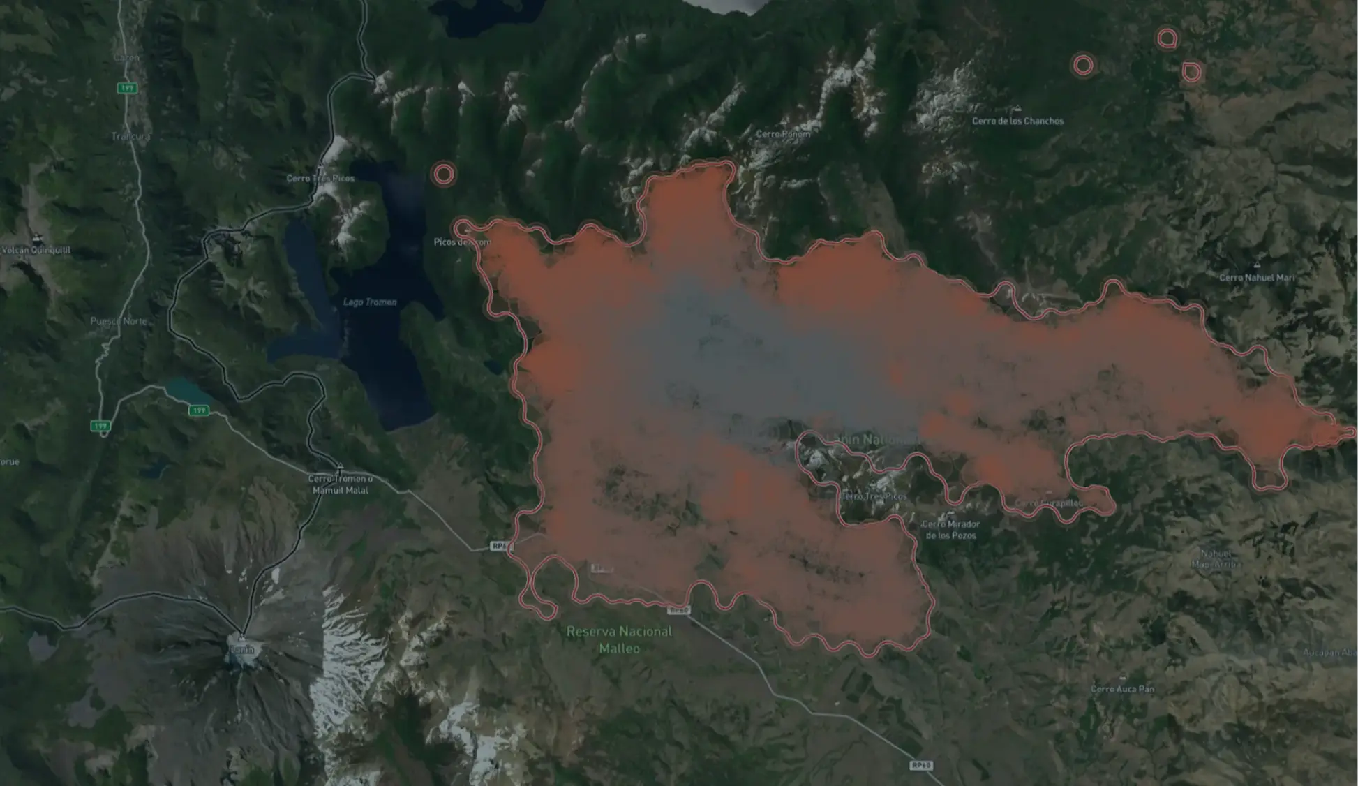
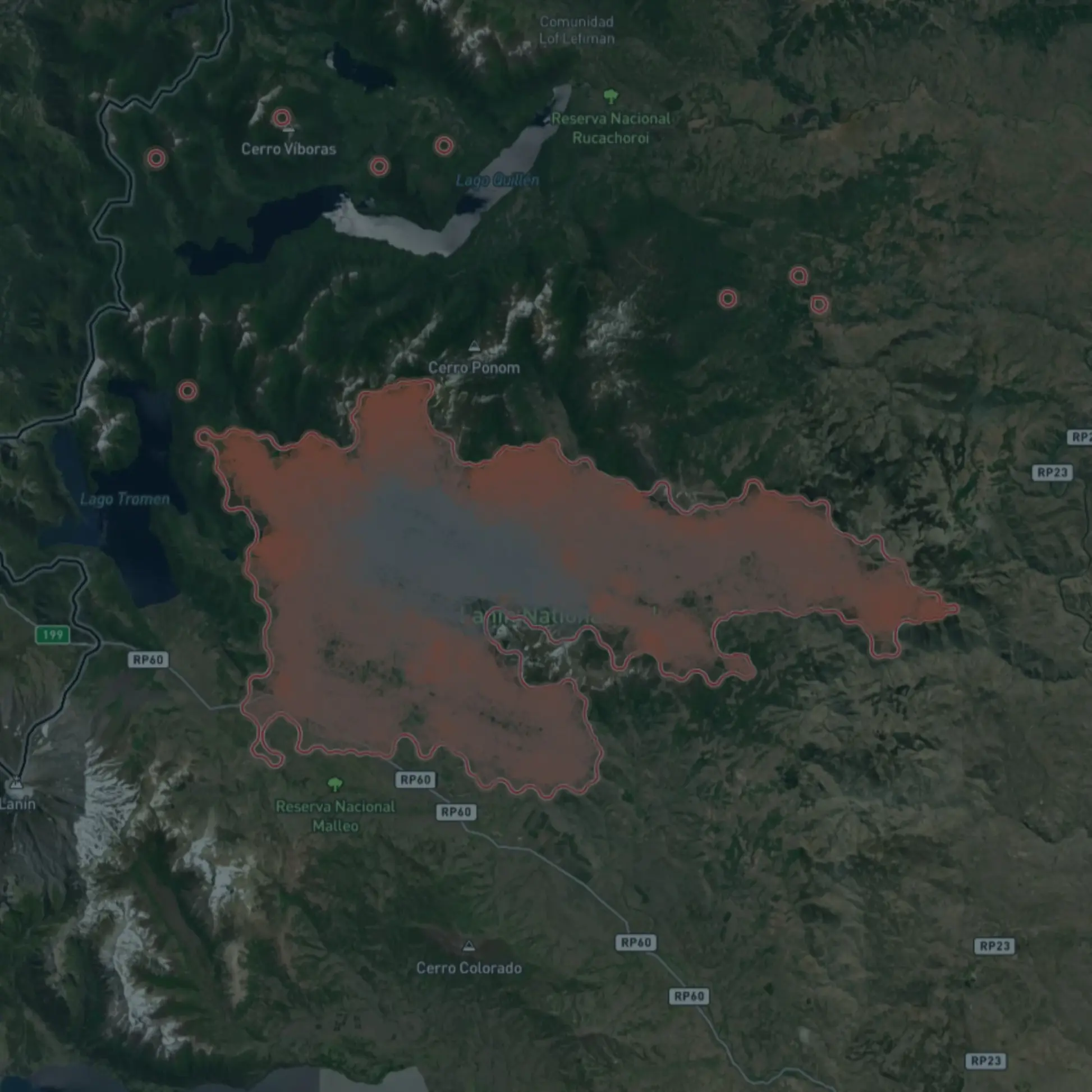
Wildfire Snapshot offers a clear and simple window into how our platform presents real wildfire clusters.

Hotspots
See where the fire was detected and when it first appeared

Affected area
View the size of the cluster in hectares

Location
Receive the exact coordinates of the event
Weather
Explore temperature, wind speed, humidity, and cloudiness

Timeline
See the first and last hotspot detections before the snapshot was created

Map styles
Switch between topographic and satellite hybrid maps
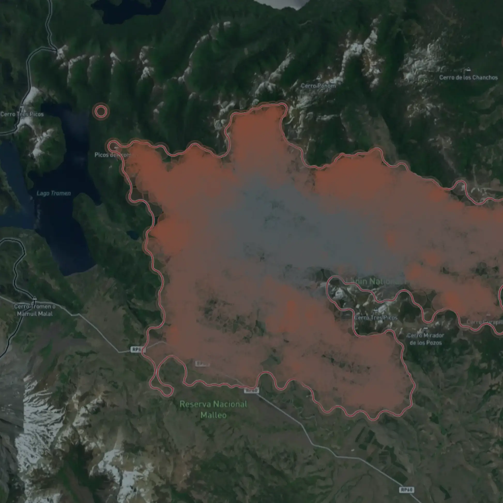
See a real wildfire snapshot
This Wildfire Snapshot shows a wildfire cluster in northern Australia and how a single event appears inside our Wildfire Solution. You can see hotspot activity, weather data and core cluster details from an active fire area south of Kakadu National Park, including recent detections and the precise location captured by our satellite data.
Discover the complete Wildfire Solution
Wildfire Snapshot is only a small preview. If you want to explore multiple clusters, analyze fire behavior, or use our full detection and monitoring tools, our team can guide you through the platform.
Want Premium? Talk to our Wildfire Solution experts
You’ve seen one snapshot. Let us show you the complete picture in a live session.