
We empower those who protect our world, one decision at a time
Using thermal intelligence, satellite technology, and real-time insights, we help first responders and decision-makers safeguard communities, reduce risks, and build a more resilient future.

We empower those who protect our world, one decision at a time
Using thermal intelligence, satellite technology, and real-time insights, we help first responders and decision-makers safeguard communities, reduce risks, and build a more resilient future.
Global, curious, purpose-driven
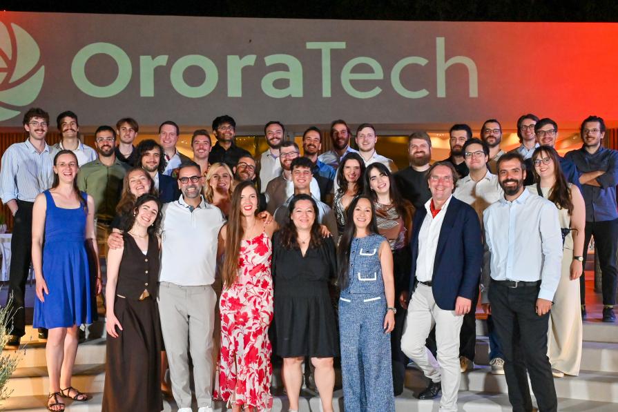
We’re a team of engineers, scientists, product builders, and big-hearted problem solvers who care deeply about the planet and each other. With colleagues from more than 40 nationalities, we learn from different backgrounds, cultures, and perspectives every day.
Working here means being part of a collaborative and supportive environment. Our ideas and curiosity are encouraged, and everyone plays a role in shaping technology that matters. We celebrate initiative, kindness, and courage. We experiment, grow, sometimes stumble, and always learn together.
We’re proud of the impact our work has on wildfire management and climate resilience, but even prouder of the people behind it: the teammates who challenge and support one another, who share knowledge freely, and who bring passion and purpose into what they do.
Today, our 180+ colleagues work across five continents, connected by mission and trust.
40+ nationalities
27 women in tech & leadership (and counting)
offices in Germany, the United States, Greece, & Canada
80+ scientific publications
Driving resilience through innovation
At OroraTech, we believe real-time intelligence is key to protecting lives, resources, and the environment. Our mission is to equip decision-makers with space-based insights, enabling faster, smarter responses to wildfires, disasters, and climate challenges.

Vision
We empower everyday heroes to protect lives, sustain resources, and create a safer, more resilient future for people and the planet.

Mission
We provide critical space insights to heroes on the ground, helping them act faster and make smarter decisions.
Our journey & historical milestones
Our journey began as a university project with a simple goal: improve how wildfires are detected. Today, we’re building a global, space-based system for real-time thermal intelligence, helping teams around the world detect fires earlier and respond faster.
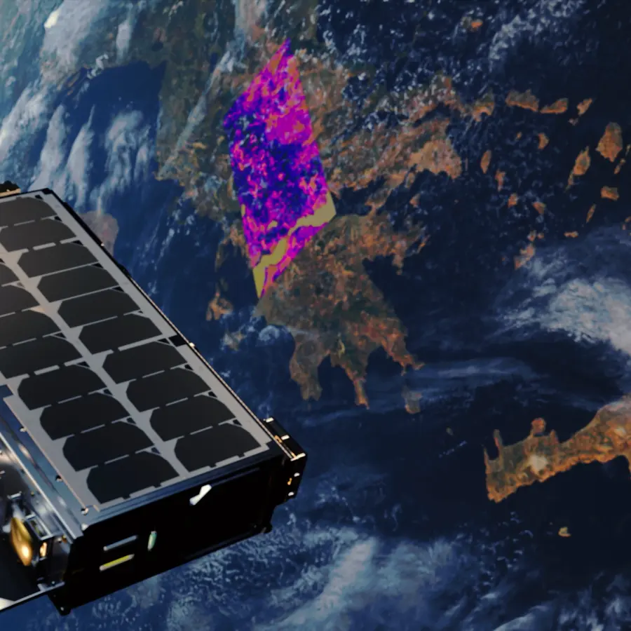
2026: Launch of the Hellenic Fire System
OroraTech launches four in-house developed thermal satellites for Greece’s Hellenic Fire System, establishing the world’s first national wildfire detection constellation. The system enables near real-time data delivery and strengthens sovereign monitoring capabilities.

2026: First thermal livestream from space
OroraTech launches four SAFIRE Gen4 payloads aboard Kepler satellites, enabling the world’s first thermal livestream of Earth. Using on-orbit processing and inter-satellite communication, thermal data is delivered within minutes for near real-time wildfire detection.
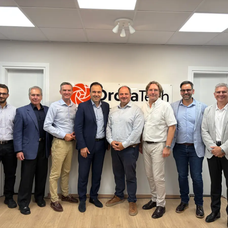
2025: Greek headquarters established
OroraTech opens its regional headquarters in Athens to support Greece’s national wildfire satellite system. Following a €20 million contract, the expansion establishes a permanent local presence for satellite development and collaboration with national partners.
2025: Expansion into the United States
OroraTech expands into the United States. The expansion includes establishing a local presence and strengthening collaboration with U.S. partners to enhance early detection, monitoring, and response capabilities across high-risk regions.

2025: Introduction of new satellite platform
OroraTech introduces GENA-OT-1, a next-generation platform enabling faster access to orbit and more flexible thermal intelligence missions.
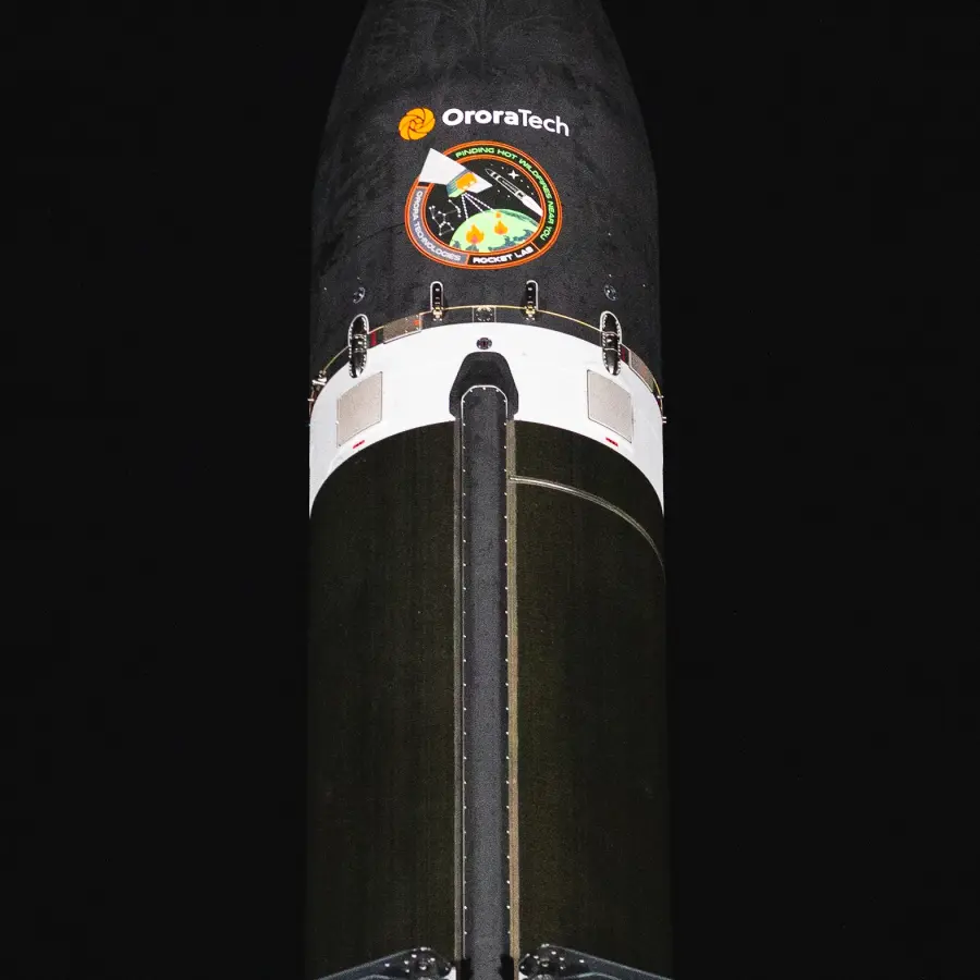
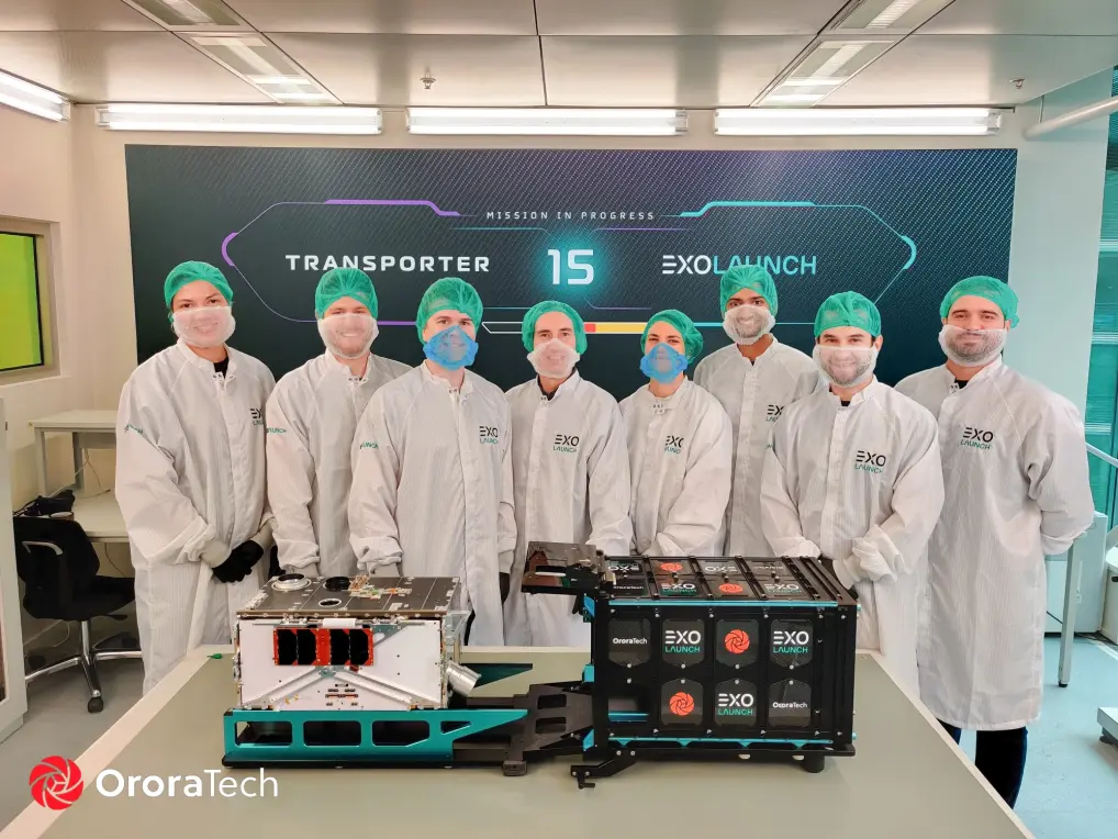
2025: First proprietary wildfire satellite constellation launched
OroraTech launches its first constellation plane of proprietary wildfire monitoring satellites with Rocket Lab, marking the deployment of its own purpose-built space infrastructure.
2024: Series B funding secured
OroraTech successfully closes its Series B funding round, accelerating the development of its satellite network and wildfire monitoring technology to enhance global climate resilience.
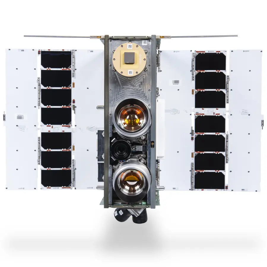
2023: Growing the space-based sensor network
FOREST-2 joins OroraTech’s proprietary sensor network, improving wildfire detection, real-time monitoring, and data accuracy to enhance disaster response and risk management.

2022: Expansion into predictive fire modeling
With the launch of Fire Spread, OroraTech enables real-time simulations to predict wildfire progression, assess potential impacts, and support more effective response strategies.
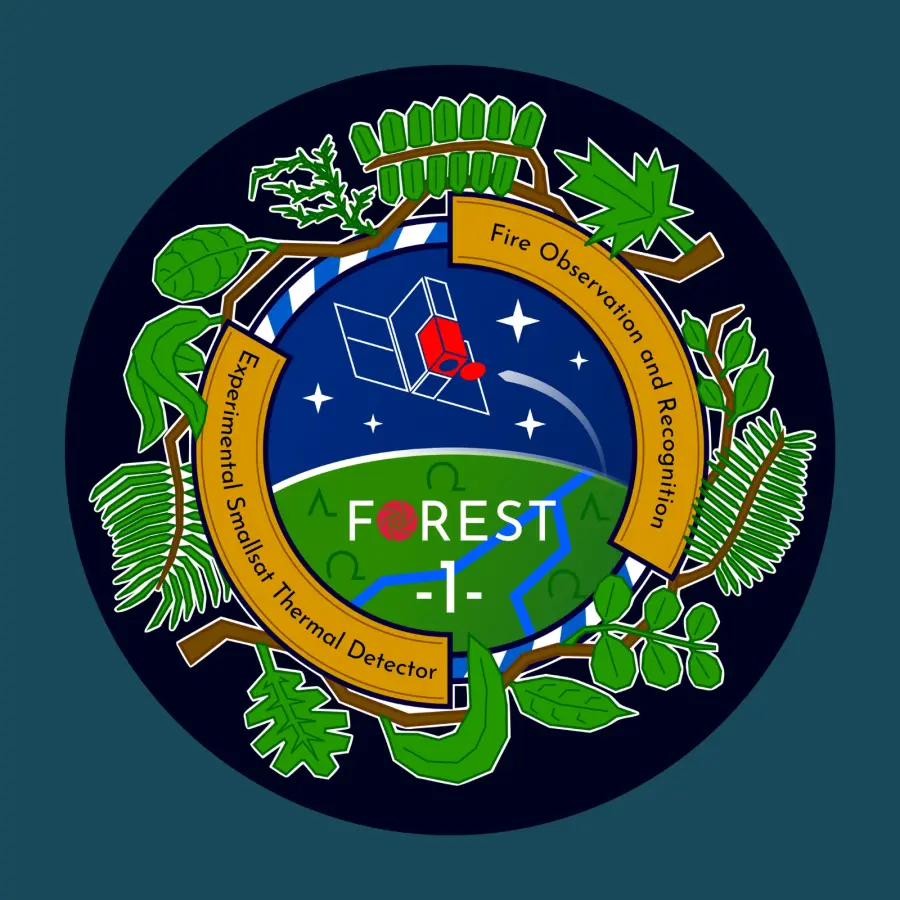
2021: First thermal imaging sensor launched to space
Successful deployment of FOREST-1 marks a major milestone in space-based wildfire monitoring, enhancing real-time fire detection, enabling faster response and better risk assessment.
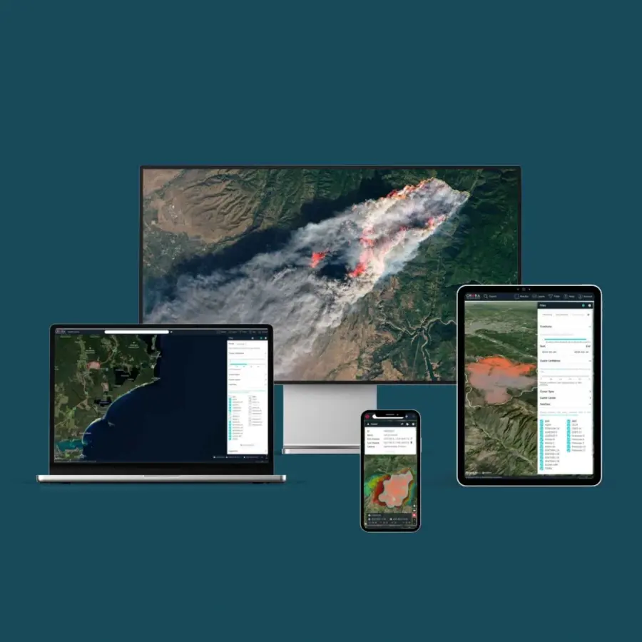
2020: Wildfire Solution released globally
OroraTech launches its first product, Wildfire Solution, a satellite-powered wildfire detection platform, providing real-time monitoring and predictive insights to combat wildfire threats.
2018: Launch of OroraTech
OroraTech is founded by Thomas Grübler, Rupert Amann, Florian Mauracher and Björn Stoffers, transforming a university project into a mission to revolutionize wildfire monitoring with space-based thermal intelligence.
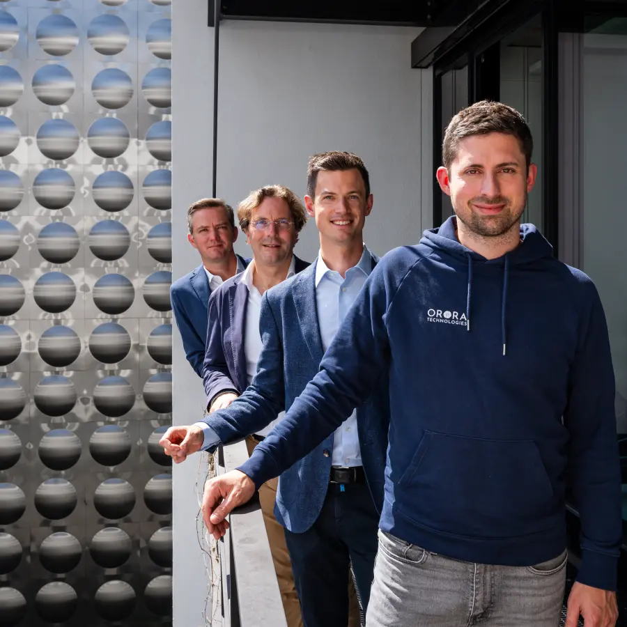
Meet the experts driving our mission
Our leadership team brings expertise, innovation, and passion to wildfire detection and climate resilience. Get to know the people behind OroraTech, their roles, and the experiences that shape our vision.
Martin Langer
CEO
Axel Roenneke
CCO
Thomas Grübler
CSO & Co-founder
Viktor Gauk
CFO
Ignacio Zuleta
CTPO
Marina Pott
Head of People & Culture
Florian Mauracher
Head of Product Development & Co-founder
Rupert Amann
Head of Satellite Development & Co-founder
Lisa-Katharina Habich
Head of Commercial Solutions
Kim Feuerbacher
Group Product Manager Smart Data
Martin Herkommer
Head of Sales
Korbinian Würl
Group Product Manager Clean Data
Liene Lapsevska
Head of Marketing & Communications
Firat Sackirkan
Head of Production
Ivona Vrljic
Deputy Head of Marketing & Communications
Konstantin Pieper
Head of Customer Success & Operations
Ioannis Lantouris
Director of Business Operations, Product and Technology Group
Lucas Krempel
Head of Payload Engineering
Lisa Martin Perez
Head of PMO
Helena van Mierlo
Director Commercial Solutions
Read the latest OroraTech news & updates
Connect with us today
Let’s talk! Whether you’re here to book a demo, explore partnerships, or talk to our press team, we’re just a message away.