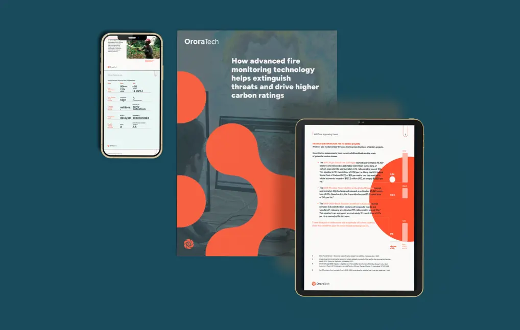
Protect carbon credits from wildfire risks
Protect carbon credits from wildfire risks
Why we need to act now


Let’s protect and future-proof your carbon projects
How we make a difference
Instant detection across remote and vast landscapes

Seamless field‑team coordination and response

Complete wildfire lifecycle visibility
Holistic fire management and mitigation for your project portfolio
Designed for carbon project developers and forestry teams, our solutions deliver the critical intelligence needed to safeguard forest assets, enhance carbon sequestration credibility, and maintain the project’s credit integrity.
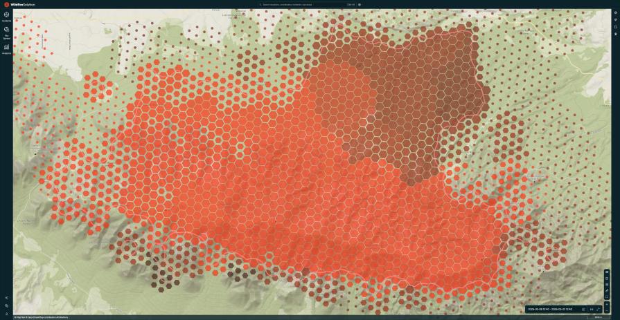
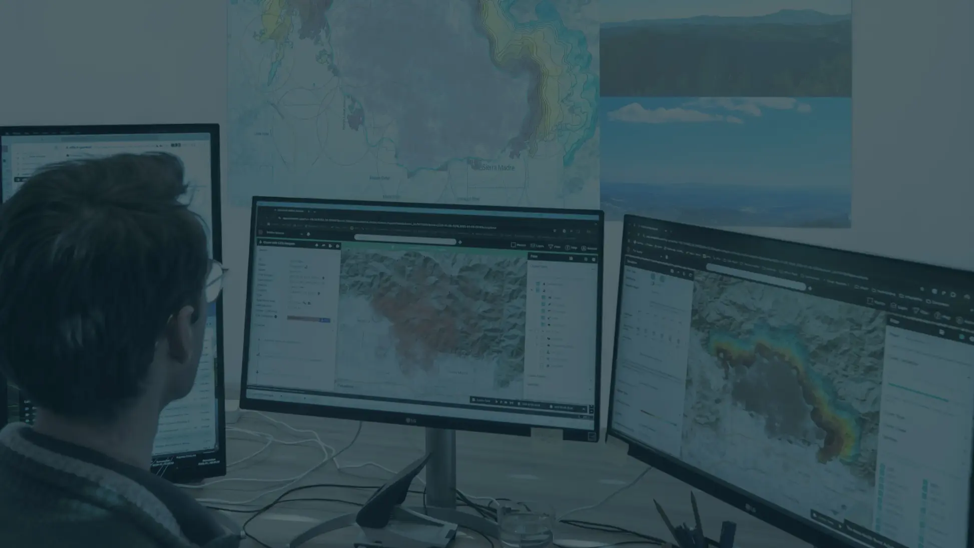
Detect and monitor wildfires in near-real-time
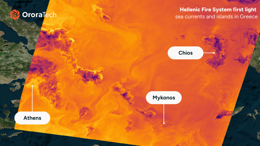
OroraTech’s Wildfire Solution (WFS) platform, powered by a global constellation of over 25 satellites, provides near-real-time monitoring of your entire project portfolio. From early threat detection to continuous situational updates, the platform delivers actionable intelligence – streamlined for rapid communication with on-ground teams – ensuring a fast and coordinated response to wildfire events.
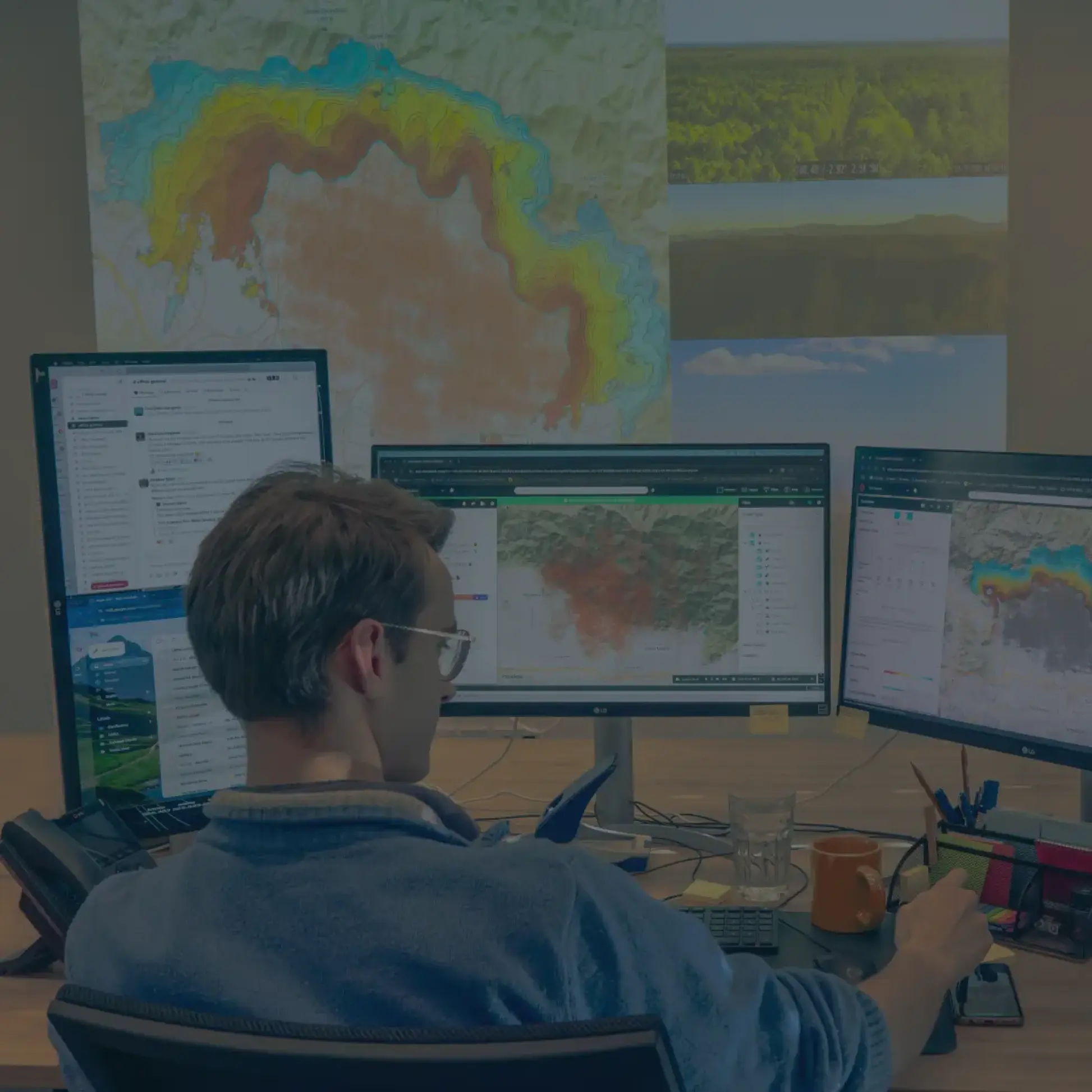
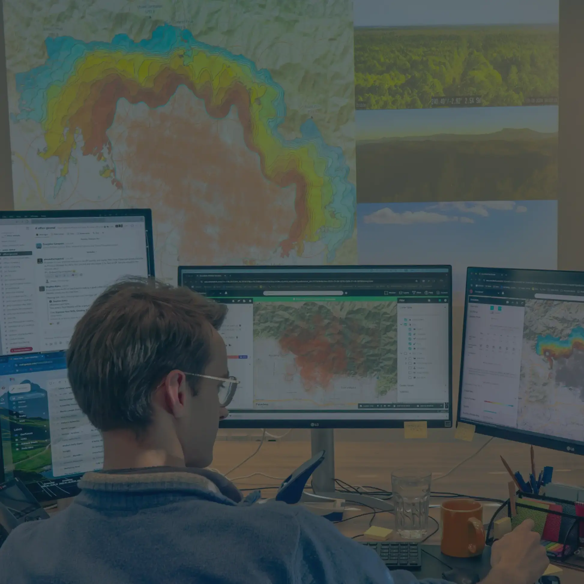
Understand wildfire behavior to stay ahead of the outbreak
From the moment a fire is detected, OroraTech’s Fire Spread simulation models up to 72 hours of predicted fire behavior by integrating high-resolution weather data and on-ground perimeter inputs. This enables teams to anticipate wildfire movement, plan tactical responses, and execute more effective strategies. The fire spread simulation can also support evacuation planning, prescribed fire burns, and readiness assessments to improve overall wildfire preparedness.
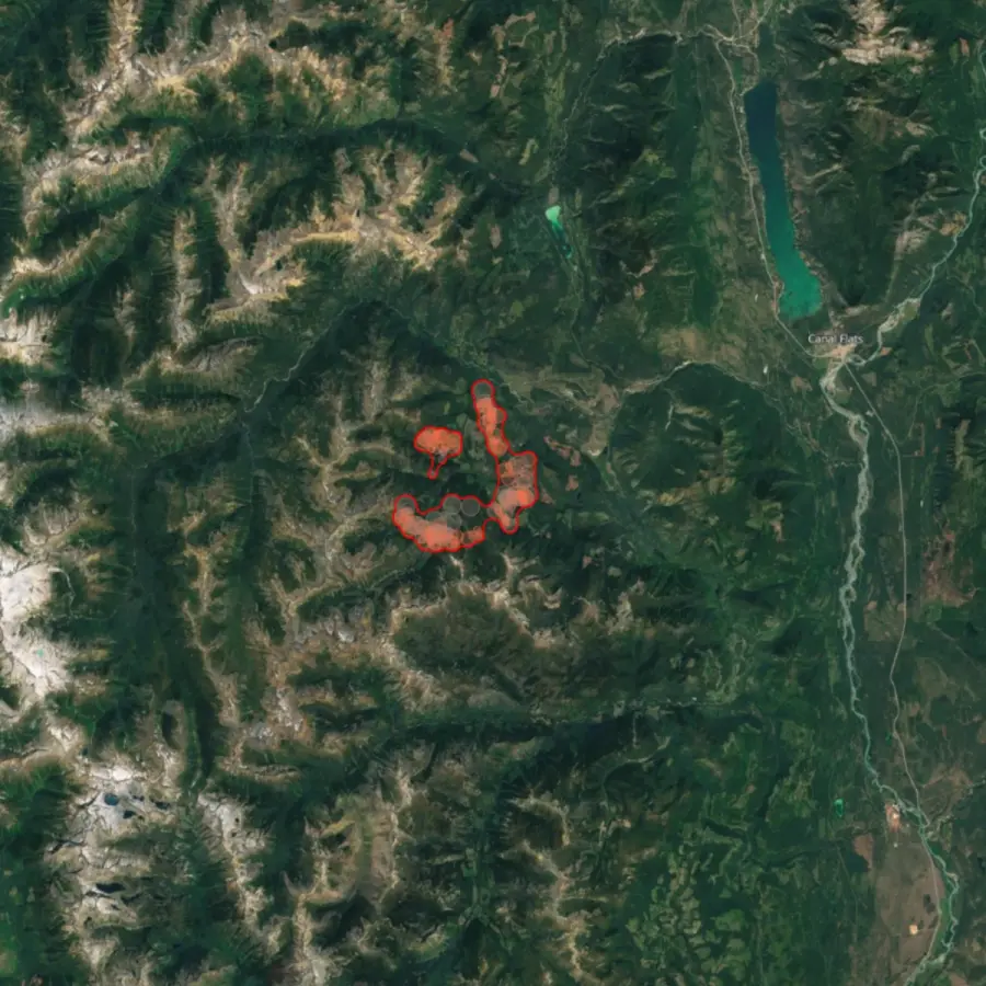
Accelerate restoration planning with post-fire insights
OroraTech’s Burnt Area solution delivers high-resolution burn scar mapping every 2–3 days, providing clear insights into post-wildfire impact. These timely updates support restoration planning and enable fast, transparent communication with insurers and carbon credit registries, accelerating the project recovery and credit verification process.
Why choose our solution