Sub-daily thermal datasets on a worldwide scale
Testdrive a free dataset to see how our thermal data can impact your specific use case - download below.
Sub-daily thermal datasets on a worldwide scale
Testdrive a free dataset to see how our thermal data can impact your specific use case - download below.
Unlock detailed insights with our thermal imagery
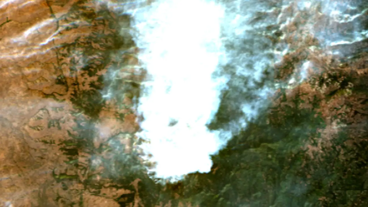
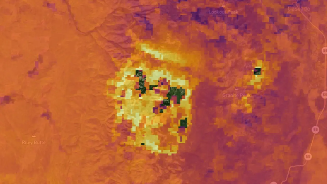
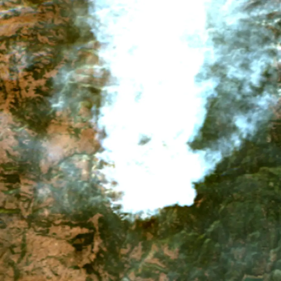
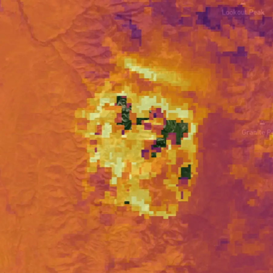
Infrared data unlocks the unseen. Our sub-daily imagery can help detect heat anomalies, support climate research, and enhance environmental planning & understanding on any scale - from a city block to an entire state.
Understand Earth’s temperature dynamics
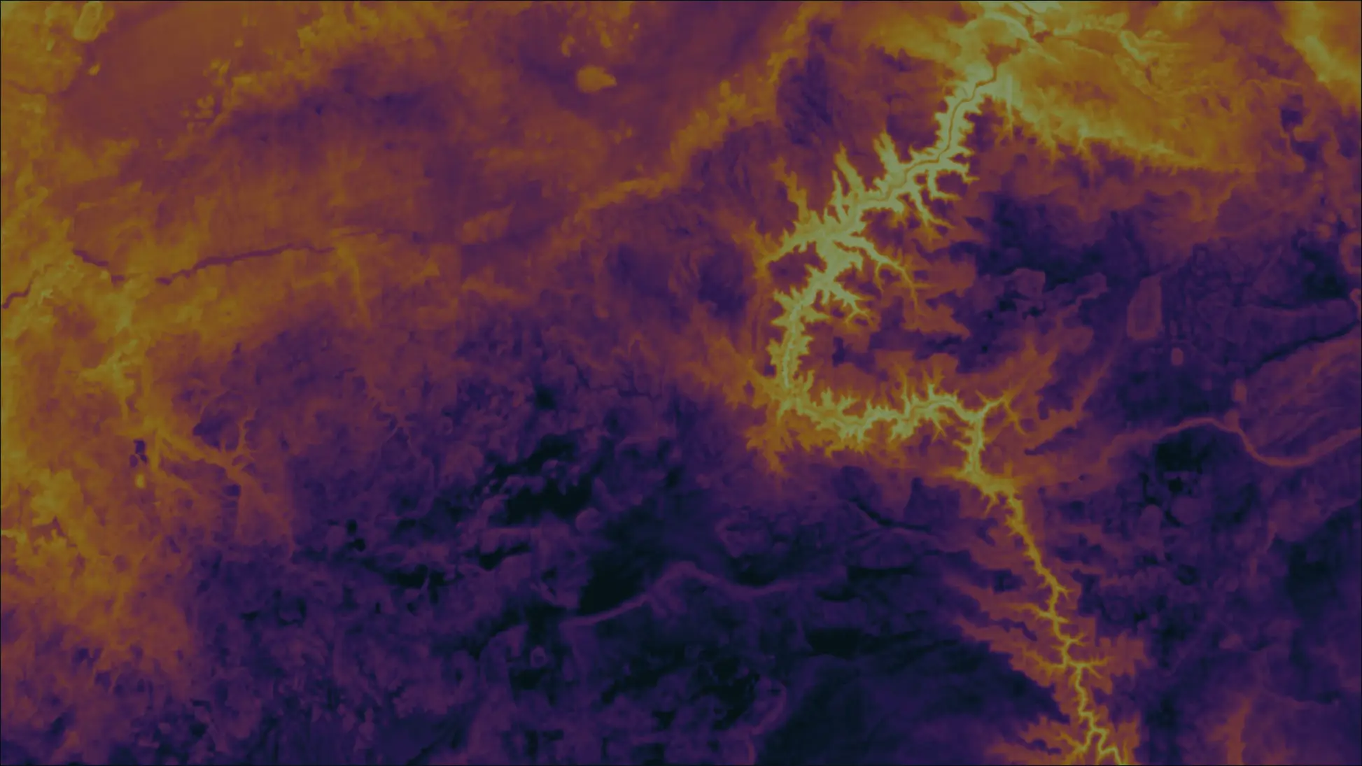
OroraTech’s satellite-powered thermal monitoring provides continuous insight into heat patterns across land and oceans. Our Land Surface Temperature datasets deliver global coverage, high-resolution measurements, and frequent revisits, enabling near real-time monitoring of environmental change and heat anomalies.

Subdaily
With fourteen thermal satellites in orbit (and counting), we observe every place on Earth at a frequency no one else can deliver

Deeply Accurate
Rated by the European Space Agency’s Optical Mission Performance Cluster, and found our absolute radiometric Level-1 data to be 2% in the LWIR2 band.

Country-wide scale
Our thermal satellite images have a swatch of 375 km, with a pixel size of 200m. See temperature trends as small as a city block or as large as a state/province or country.
Want to know more about our data sets or schedule a task for our satellite?
Schedule a call today with our experts to see how our thermal data can impact your program or specific use case.