Watching Quebec's forests - working hand in hand with SOPFEU
Watching Quebec's forests - working hand in hand with SOPFEU
« Pour consulter la version française, cliquez ici. »
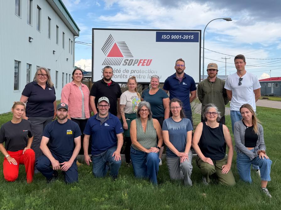
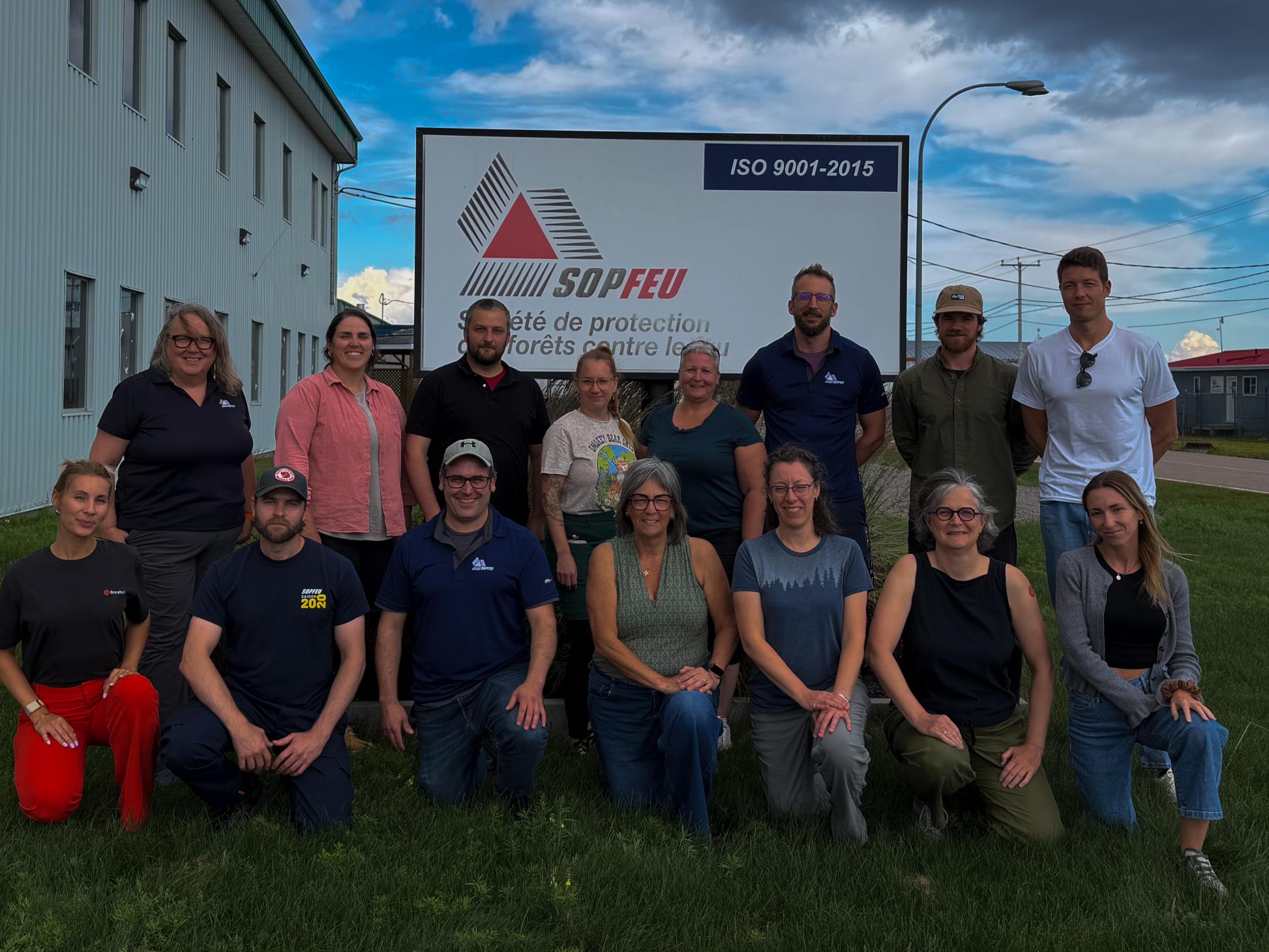
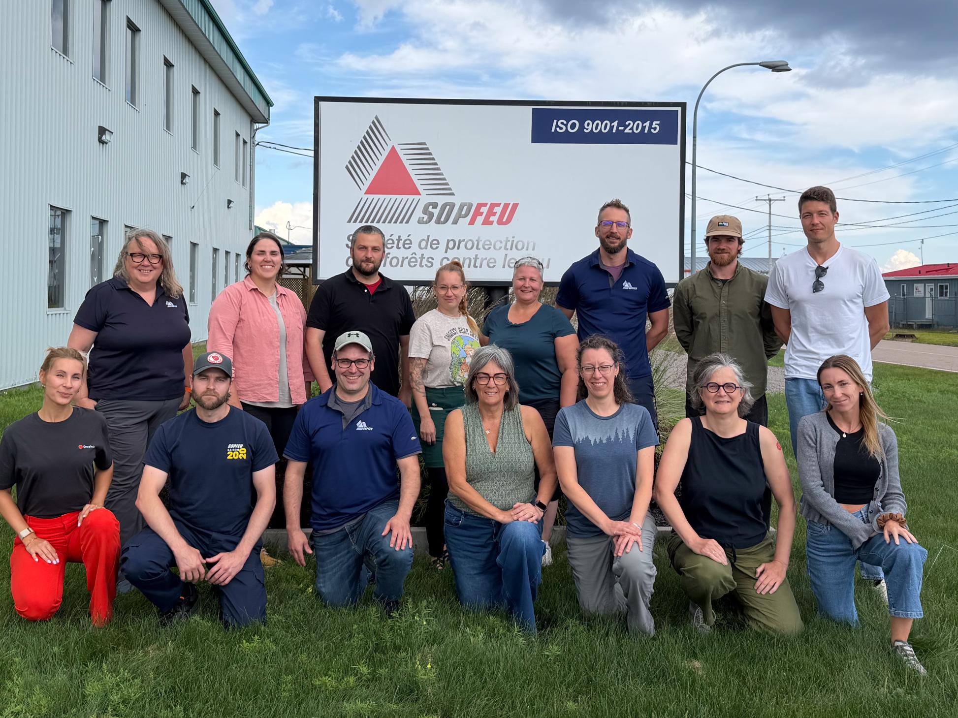
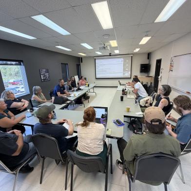
In August 2026, a small OroraTech team traveled from Germany and Canada to Quebec City and Baie-Comeau. We went to spend time with the people at SOPFEU - the Société de protection des forêts contre le feu, the agency mandated to protect Quebec's territory from wildfire.
We did not go to demonstrate a product. We went to listen. Wildfire intelligence is not built at a desk, but alongside the people who use it under pressure, when a fire is burning two hours away by plane and a decision cannot wait. OroraTech and SOPFEU have worked together since April 2021, and this trip was a chance to sit around the table with the people on the other end of the data.
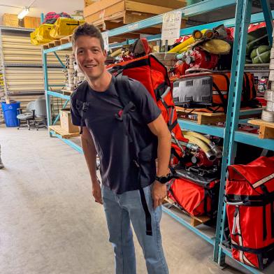
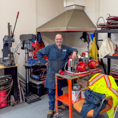
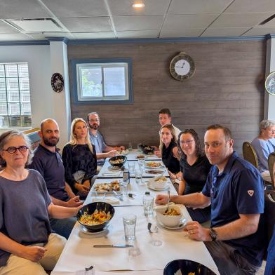
The visit felt less like a series of meetings and more like a series of conversations. We spent time at SOPFEU's Quebec City headquarters and at the regional office in Baie-Comeau, and in both places the same thing struck us: the mission comes first, the technology second.
During our visit, we had the chance to meet the firefighters and officers using satellite-based wildfire detection in their daily work and hear firsthand how it has changed their approach. They shared what it once meant to operate “blind” in the north, how earlier detection has changed the way they respond to fires, and why getting the right information even a little sooner can make a very real difference for the people on the ground.
One number framed everything we heard: this year, 54% of first detections in the northern zone came from satellites. Ten years ago, that figure would have been unthinkable.
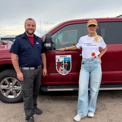
(above) Mathieu Payette, the Director of Air Services at SOPFEU
Who are the people behind SOPFEU's mission?
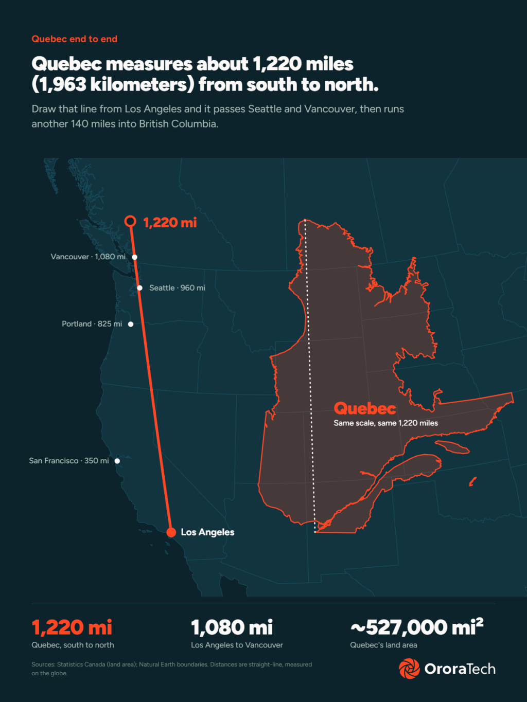
Quebec is enormous. The province is almost the same size as Alaska (with Alaska having 1.48 million km² vs Quebec’s 1.30 million km² of land), or bigger than Germany, France, and the UK combined. In the Northern zone, only parts of the territory have detection aircraft assigned, where populations and infrastructure are more present. Before satellite data arrived, entire regions had to rely on delayed reports of fires, days after ignition.
Olivier Roberge makes that reality concrete. He started as a firefighter in 2015 and is now a territorial protection specialist for the northern zone - someone who "flies fires" rather than fighting them on the ground. Flying a fire, in his words, means boarding a small plane and observing the smoke, the fire's behavior, and the surrounding fuel from around 1,500 feet, building an accurate behavior prediction from the air.
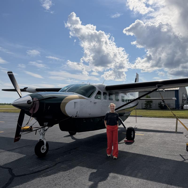
But you cannot fly every fire - sometimes it becomes impractical or impossible. This creates gaps in fire coverage. A fire near Blanc-Sablon can sit a two hours flight away. Weather grounds planes. Aircrafts are limited. And in the gaps, fires burned unseen.
Olivier's summary of what satellites changed is the most direct thing we heard all week. Without them, he said, "we would be blind." He described satellite data as removing the blindfold - moving SOPFEU from waiting on the right weather or the right aircraft to having near-daily eyes on fires they cannot easily reach.
(above) Olivier Roberge, Territory Protection Specialist at SOPFEU
What did operating "blind" actually mean?
Before satellite detection, the northern zone operated without reliable visibility. Fires ignited overnight and went undetected until at least the morning, or even day later. When reports did come in, they often came from the public, with vague locations that sent crews searching.
The present looks different. Satellite detections now pinpoint fires that were once reported imprecisely, and they reveal activity in areas SOPFEU never used to fly at all.
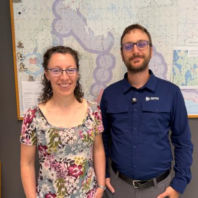
(above) Virginie Galvez-Cloutier, an Operations Supervisor at SOPFEU
That progress comes with an honest trade-off, one SOPFEU raised itself: more detections in remote areas can mean more work during busy periods. But knowing about every fire on the territory is the job. More visibility is not a burden to avoid - it is the point.
What changed - measured in numbers?
The shift is not a matter of impression. It shows up in the data.
54% of northern-zone first detections this year come from satellite, compared with 3% from aircraft.
In the intensive zone - the more densely populated areas where public reporting is the primary detection method - satellite accounts for about 4% of first detections.
Automated filtering cut the number of manually processed clusters from roughly 20,000 in the first year to 812, tailoring the data to fit directly into SOPFEU's workflow.
Karl Asselin, an incident commander, grounded those figures in experience, pointing to a clear improvement in true-positive detections - fewer false alarms, more real fires caught.
The most memorable moment came from a firefighter's testimony. On June 19, 2024, he was positioned in Murdochville and dispatched to a satellite detection of a wildfire. He arrived expecting it would be a false alarm, but instead instead found a real fire - a potent one. Records identify it as fire 208, with a final area of 2.6 hectares, just under SOPFEU's suppression objective of three hectares. Without the satellite alert, he said, that fire would have grown much larger, and potentially out of control.
For context, SOPFEU's operational objective is to detect fires before they reach 0.5 hectares. Every satellite's first detection is a chance to catch a smaller fire. The story of fire 208 is a great example of this.
Why does timing matter as much as detection?
Knowing a fire exists is only useful if you know it early enough to act.
Early satellite observations can shape the early morning briefing, giving incident commanders fresh overnight information before the day begins. That head start changes how the day unfolds.
Joachim, a duty officer in Baie-Comeau regional operations center, explained how this plays out in practice. He moved from Europe to Canada in 2010, studied forestry in Quebec, and later joined SOPFEU. Knowing the satellite pass times changes his planning as an officer. He anticipates the next overpass to gather fresh information on an active alert, rather than waiting blind or affect critical resources that would needed elsewhere.
(above) Joachim Lecoutre, Head of Air Operations and Regional Manager, SOPFEU Baie-Comeau Base
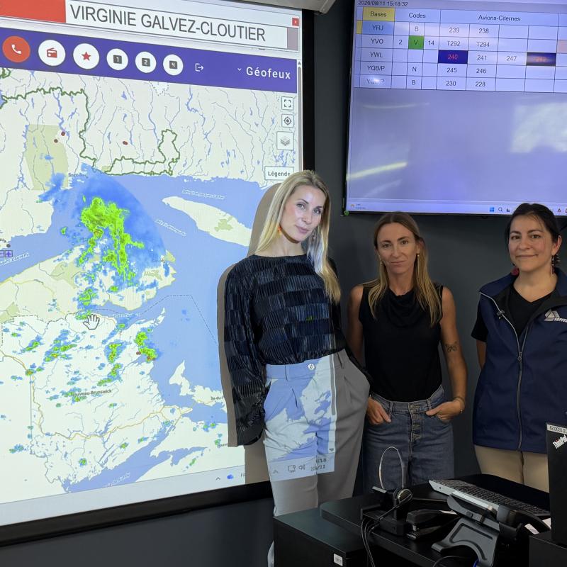
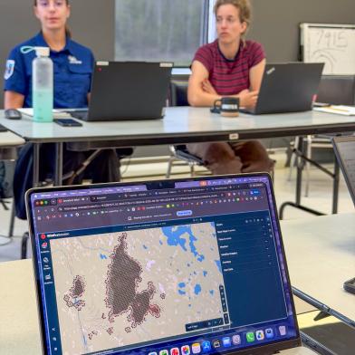
Virginie Galvez-Cloutier, an operations supervisor at the provincial operations center, described watching alerts appear in GeoFeux, SOPFEU's in-house mapping system, as "flashing stars" across the map. Her philosophy for the busiest days is simple: keep your head above water and treat each request one at a time. Stay calm when activity is at its highest.
(above) Virginie Galvez-Cloutier, an Operations Supervisor at SOPFEU
How does satellite data help declare a fire out?
There is a quieter use of satellite data that surprised us. In the far north, where there are no crews on the ground, the absence of hotspots becomes one of the criteria for declaring a fire extinguished.
Olivier was careful to add nuance here. Satellite data is never the only source. SOPFEU combines hotspots, visible imagery, weather, fuel type, and air observation. But from a fire's first detection to its final declaration, satellite data now runs through the entire life cycle of a fire.
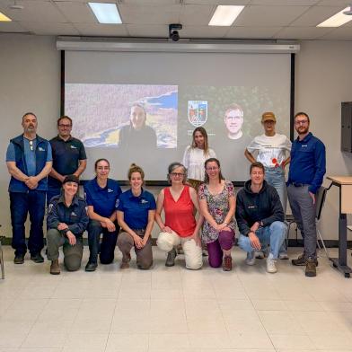
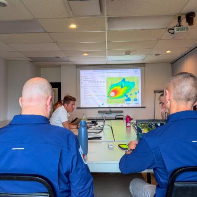
How is this partnership built together, not sold?
OroraTech's role at SOPFEU is that of a collaborator and a listener, not a vendor.
Mathieu reflected on something that shapes how we work: technology developed without input from end users rarely meets real needs. He framed the OroraTech relationship as an exchange - SOPFEU brought decades of wildfire expertise, OroraTech brought remote sensing - and noted that many features came directly out of conversations like the ones we had that week.
The Overpass Planner is a concrete example. Developed for SOPFEU this year, it answers a specific operational need, and it was well received precisely because it came from listening rather than guessing.
Brady Holliday, who acts as an innovation bridge at SOPFEU, put it well. His work is about turning raw satellite data into something decision-makers and ground crews can actually act on. A collaborative relationship, he noted, is what connects the space sector to the realities of wildfire operations.
Everyone we talked to had a similar story.
More than technology
The mission is human on both sides. Philippe Bergeron, who works on the prevention side of SOPFEU, reminded us of a sobering fact: 80% of Quebec's fires in the most inhabited areas are human-caused. Prevention and public education are as much a part of protecting the forest as any detection system.
That widened the lens for us. Protecting forests is also about protecting the communities near them - and sometimes about giving people a few hours of warning to prepare.
(above) Philippe Bergeron, Prevention & Communications Agent at SOPFEU
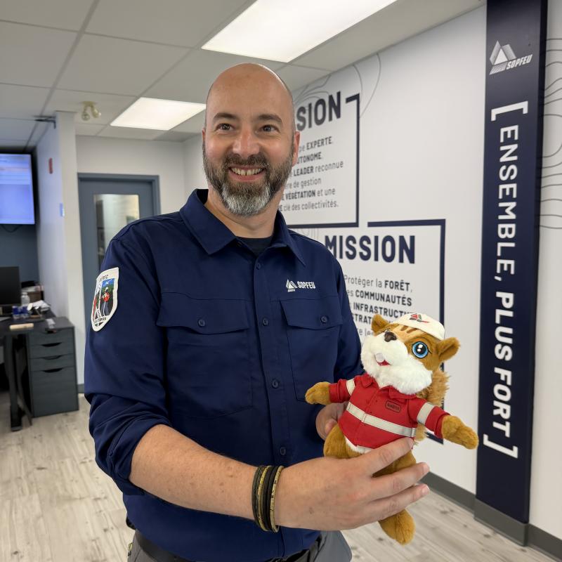
For the OroraTech team, the visit was a reminder that wildfire intelligence is a human challenge as much as a technical one. We build the tools; SOPFEU brings the intelligence. Watching how they use our data showed us what tomorrow's challenges look like, and gave us a clearer sense of how to meet them by learning from each other.
Protecting what matters, together
Satellite detection has changed the operational picture in Quebec's most remote regions. Despite the fact that their operational territory is ~52 million hectares (~128 million acres) SOPFEU has moved to catching fires smaller, earlier, and with growing trust in the data. Underneath the numbers and the tools is a shared sense of mission: protecting Quebec's forests and the people who live near them.
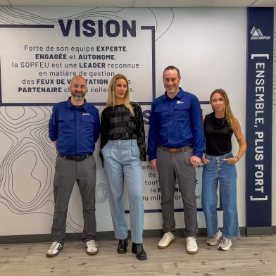
Our thanks go to the people at SOPFEU who gave us their time and their stories - Mathieu, Olivier, Joachim, Brady, Philippe, Virginie, and their colleagues.
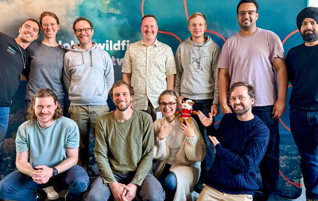
And of course, our new friend Garofeu (who we did take all the way back to Germany).
In wildfire prevention and management, the work is built on trust - and trust is built in person.
Frequently Asked Questions (FAQ)
What is SOPFEU?
SOPFEU (Société de protection des forêts contre le feu) is the agency mandated to protect Quebec's territory from wildfire. Its work covers detecting, monitoring, and suppressing fires, as well as prevention and public education, across forests, communities, and strategic infrastructure.
How long have OroraTech and SOPFEU worked together?
OroraTech and SOPFEU have worked together since April 2021. The relationship is collaborative - SOPFEU contributes wildfire expertise while OroraTech contributes satellite remote sensing, with tools like the Overpass Planner developed directly from operational conversations.
How much of Quebec's wildfire detection now comes from satellite?
This year, 54% of first detections in Quebec's northern zone came from satellite, compared with 3% from aircraft. In the more densely populated intensive zone, where public reporting dominates, satellite accounts for about 4% of first detections.
Can satellite data replace aircraft and ground crews?
Yes and no. Satellite data will always be a tool in a larger toolbox, but can be a great replacement for more expensive methods of detection. SOPFEU combines satellite hotspots with visible imagery, weather data, fuel type, aerial observation, and ground crews. In the future, SOPFEU would like to rely on more satellites for these tasks. They are especially valuable in remote northern regions where aircraft cannot reach quickly, and could potentially replace aircraft or more manual ways of detection in some regions.
Why does early detection matter so much for wildfire?
Catching a fire early means catching it smaller. SOPFEU's operational objective is to detect fires before they reach 0.5 hectares. Early satellite observations also feed the morning briefing, giving incident commanders fresh overnight information before crews are deployed.