Empowering everyday heroes with global wildfire intelligence
With the leading wildfire management platform, we provide organizations with space technology to tackle wildfire challenges – safeguarding forests, ecosystems, communities, and critical assets.
Empowering everyday heroes with global wildfire intelligence
With the leading wildfire management platform, we provide organizations with space technology to tackle wildfire challenges – safeguarding forests, ecosystems, communities, and critical assets.
Explore our product portfolio
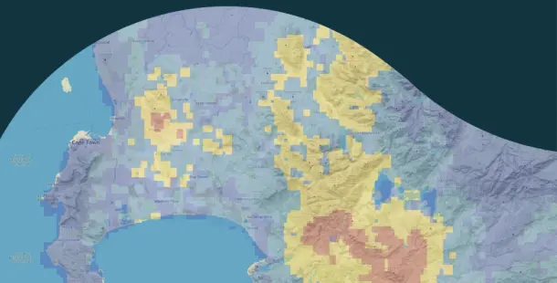
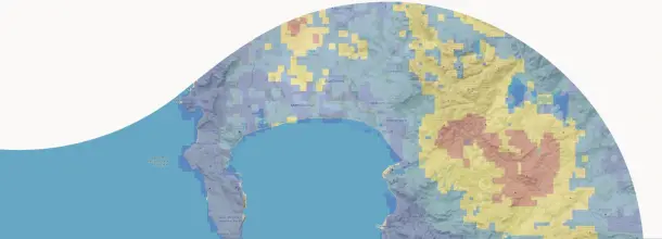
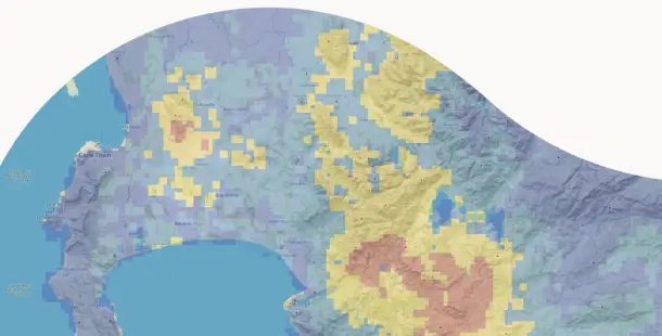
Wildfire Solution


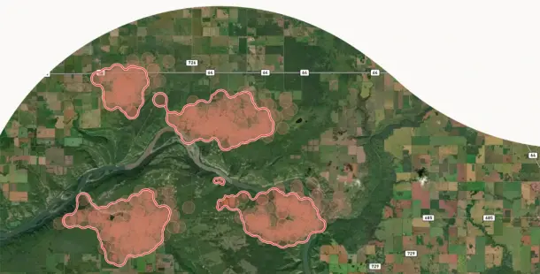
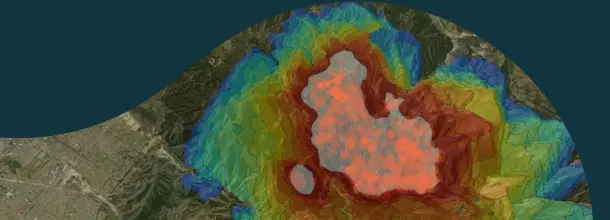
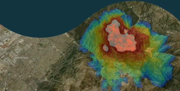
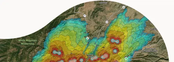
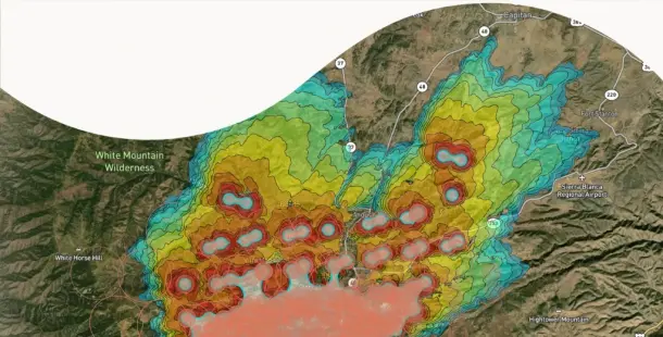
Fire Spread
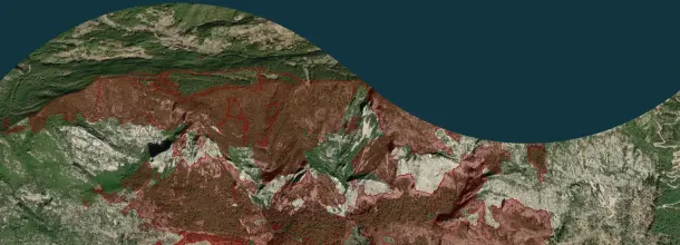
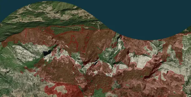
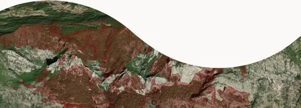
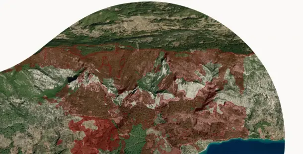
Burnt Area
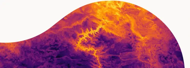
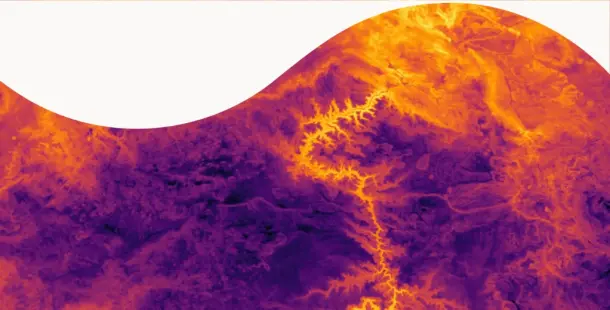
Land Surface Temperature


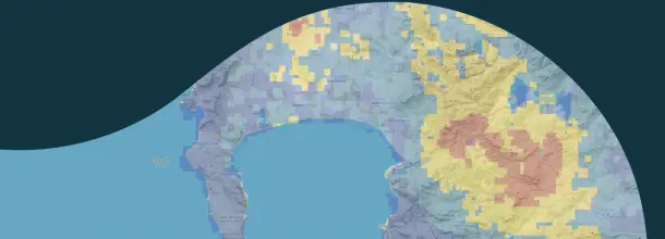
Short-Term Fire Hazard
Your industry, our expertise
From safeguarding forests and ecosystems to protecting communities and critical assets, our advanced technology and reliable insights help you address challenges, mitigate risks, and drive meaningful impact.
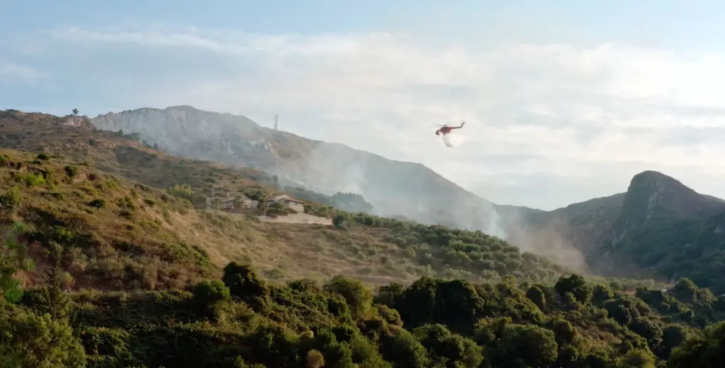
Civil protection
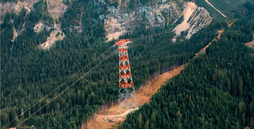
Infrastructure & energy
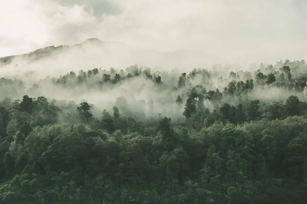
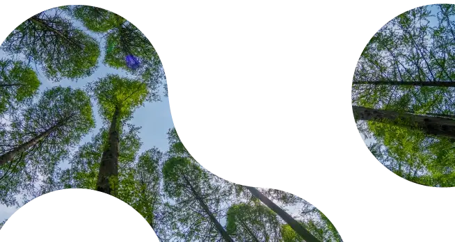
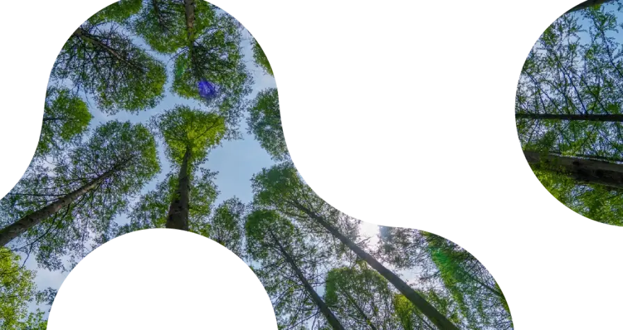
Forestry
Carbon
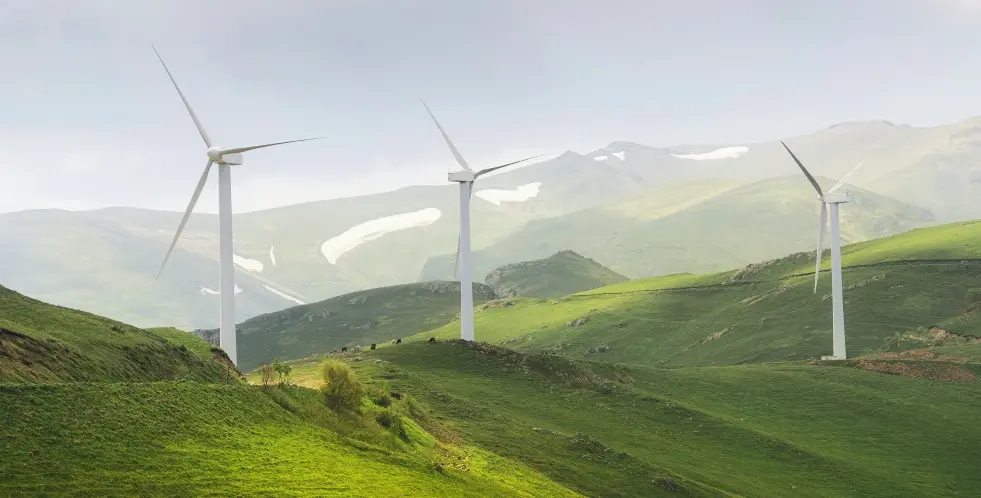
Climate
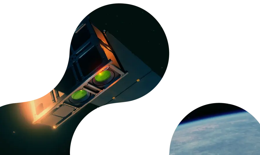
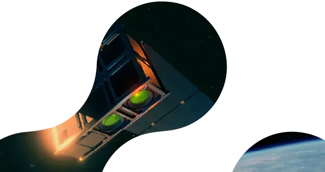
From orbit to impact: the satellite technology powering our data
Our thermal infrared camera technology
Our space-based sensors detect heat instead of visible light, pinpointing fire outbreaks under any conditions — day, night, or through smoke. By measuring temperature at the pixel level, we reliably identify fire events.

Next-gen sensor network in space
The sensors onboard OroraTech's 14 satellites in Low Earth Orbit (LEO) provide continuous global coverage, gathering high-resolution data 24/7. By combining these satellites with other public satellites, we boast the largest network of thermal satellites in the world - 35+ and counting. With so many satellites working together, coverage gaps are eliminated.

AI-driven data analytics
Once captured, the data is processed by our advanced AI algorithms. These algorithms analyze the heat signals in real-time to detect fires and predict fire spread.

Our thermal infrared camera technology
Our space-based sensors detect heat instead of visible light, pinpointing fire outbreaks under any conditions — day, night, or through smoke. By measuring temperature at the pixel level, we reliably identify fire events.
Next-gen sensor network in space
The sensors onboard OroraTech's 14 satellites in Low Earth Orbit (LEO) provide continuous global coverage, gathering high-resolution data 24/7. By combining these satellites with other public satellites, we boast the largest network of thermal satellites in the world - 35+ and counting. With so many satellites working together, coverage gaps are eliminated.
AI-driven data analytics
Once captured, the data is processed by our advanced AI algorithms. These algorithms analyze the heat signals in real-time to detect fires and predict fire spread.
The numbers that tell our story
Every number has a story, and ours reflect our journey, impact, and mission to revolutionize wildfire detection and climate solutions. From groundbreaking innovations to the lives we help protect, these numbers highlight how OroraTech is making a difference worldwide. Discover the milestones that define who we are and where we’re headed.
Users in 25 countries
Employees on 5 continents


Hectares of monitored area
Satellite sources
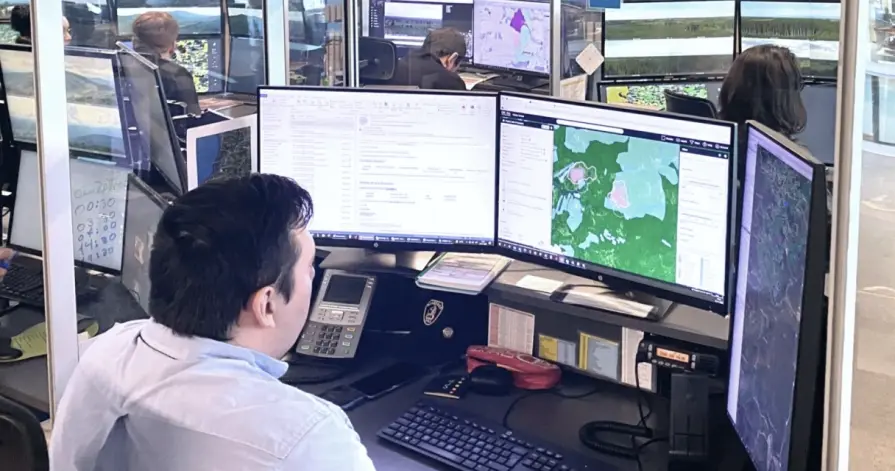
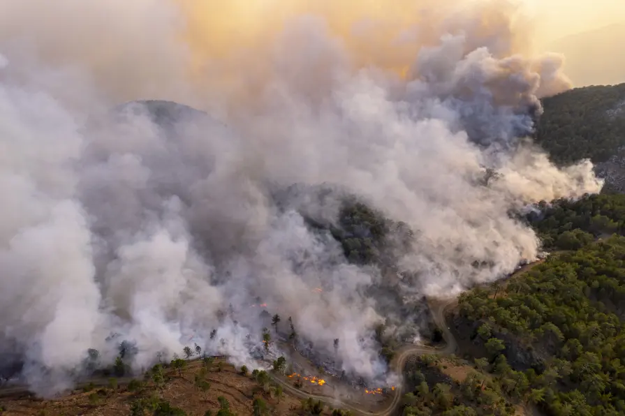
Making the difference
Browse powerful examples of how OroraTech made a difference when it mattered most. From detection to response, these stories show the real impact of timely insights.

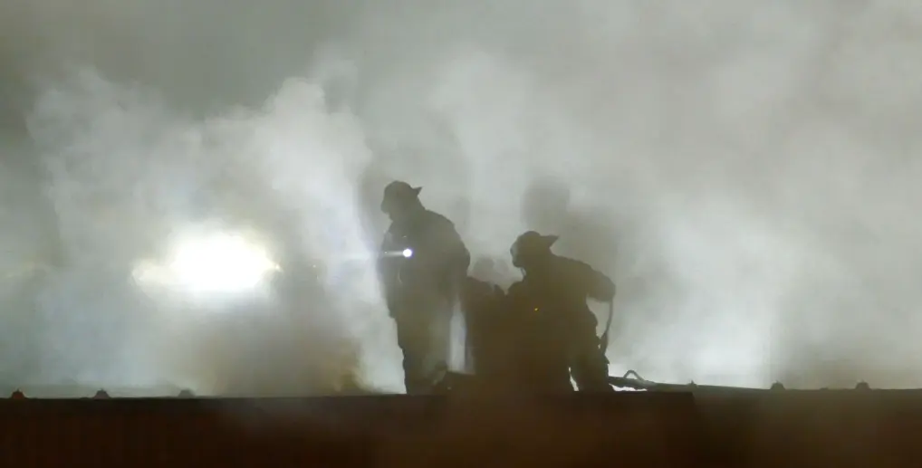
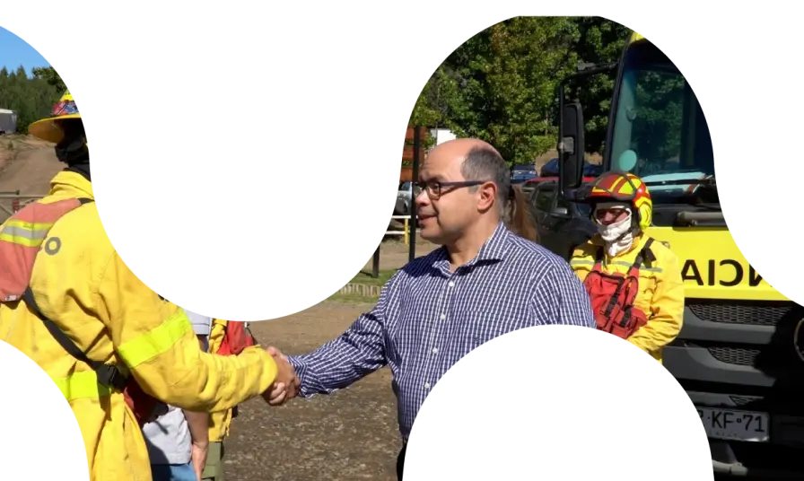
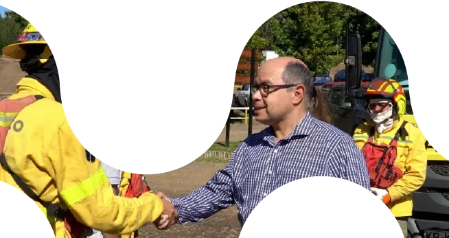
ARAUCO Chile
“OroraTech’s data and team support enabled our team to concentrate on the crucial task of combating the fires, especially at night when visibility and aircraft resources are scarce for having an overall overview of the situation.”

German N., Head of Forest Fire Protection
OroraTech & ARAUCO: Battling Devastating Fires in Chile
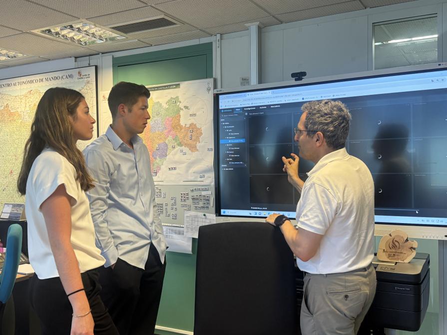
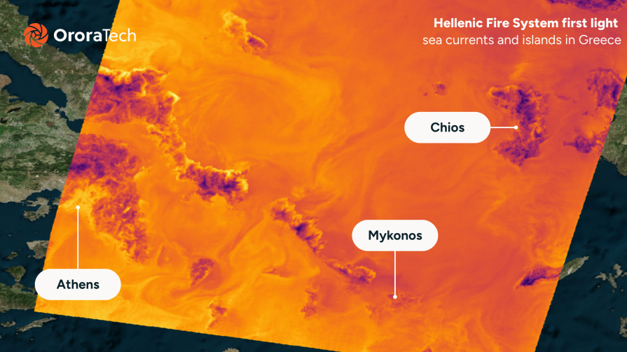
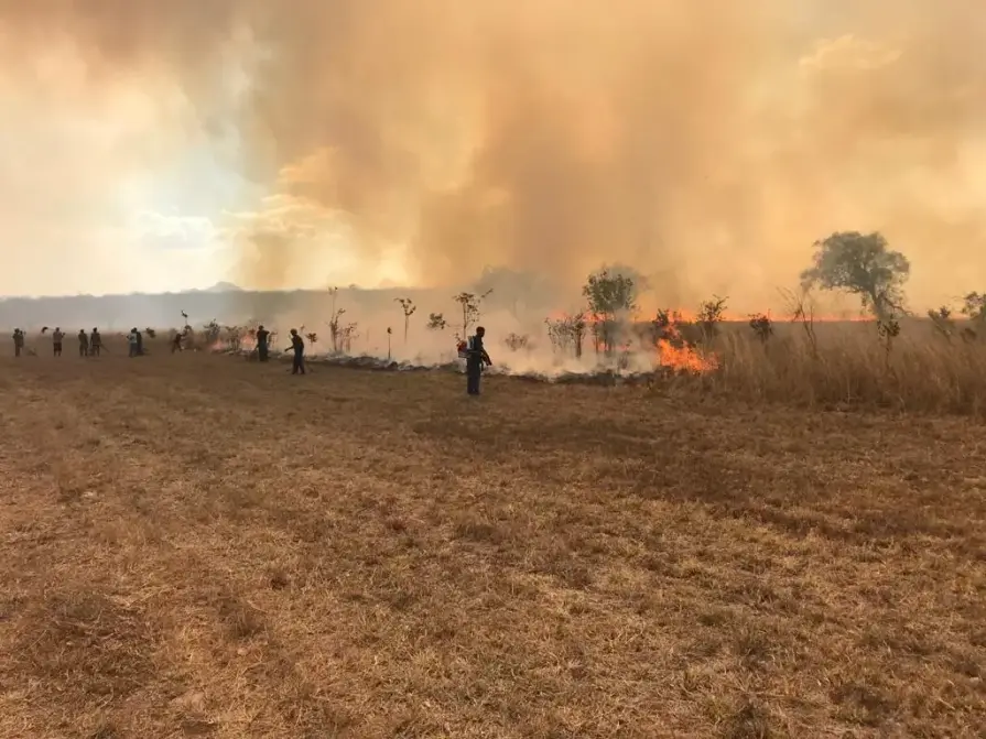
Hellenic Fire Service
"OroraTech’s wildfire intelligence has been a great tool for us. We received immediate notifications of almost every new fire, the ones in isolated areas gave us the opportunity to act rapidly, dispatching and managing our resources efficiently. The detection of fires on Greece’s borders with Albania, North Macedonia, and Bulgaria allows us to coordinate water sources and emergency responses across regions. The visualized fire perimeters, especially in the case of Varnavas fire help us realise the development of this EWE. I am looking forward to the future of fire spread modeling, early detection, and so much more!"

Zisoula N., Fire Colonel
USFS Niassa National Reserve
"The Niassa Special Reserve in northern Mozambique faces a huge problem of forest fires that every year cause environmental, social, and economic damages. Thanks to OroraTech's WFS we are able to monitor the wildfires as well as gather the information needed to analyze their spatio-temporal pattern which is a very important component for the designing of an integrated fire management plan to address this problem within this conservation area."

Leonel M., Field Specialist
On a Mission To Save the Niassa Special Reserve: Home of the Last Great Elephant Population
Connect with us today
Let’s talk! Whether you’re here to book a demo, explore partnerships, or talk to our press team, we’re just a message away.
How to buy in your region

Angola


Argentina


Austria


Bosnia-Herzegovina


Botswana

Brazil


Bulgaria


Canada


Chile


Colombia


Croatia


Cyprus


Dominican Republic
Where to buy in Dominican Republic
OroraTech LATAM

Paladius - Industrial Fire Products Corp.

Ecuador

Eswatini

Ethiopia


Germany

India


Indonesia


Italy


Kenya

Madagascar

Malaysia


Malta

Mexico

Montenegro

Mozambique

Namibia

Pacific Community


Paraguay

Peru


Poland


Puerto Rico

Romania


San Marino

Saudi Arabia


Serbia

Slovakia

Slovenia

South Africa

Switzerland

Tanzania

Thailand


Türkiye


Uganda

United States
Where to buy in United States
OroraTech USA

Santa Clara County FireSafe Council
Team Wildfire

United States Virgin Islands

Vatican

Zambia