Detect fires before they become disasters
Everything your team needs to identify wildfires earlier and make faster operational decisions
Detect fires before they become disasters
Everything your team needs to identify wildfires earlier and make faster operational decisions
From satellite detection to real-time decisions
OroraTech is the leading satellite-powered wildfire management platform helping governments, emergency agencies and critical infrastructure operators detect, monitor and respond to wildfires faster.

Detect fires earlier
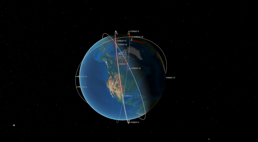
Receive near real-time alerts from 35+ satellites.

Monitor every incident
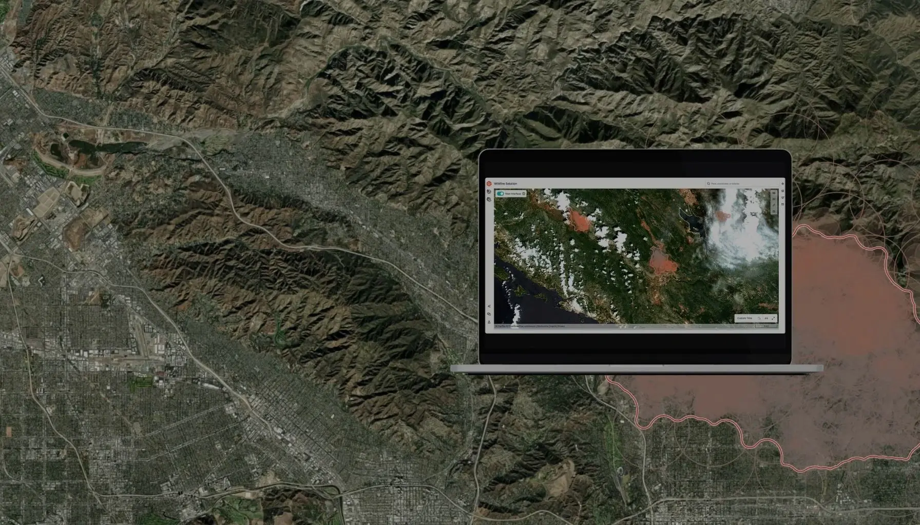
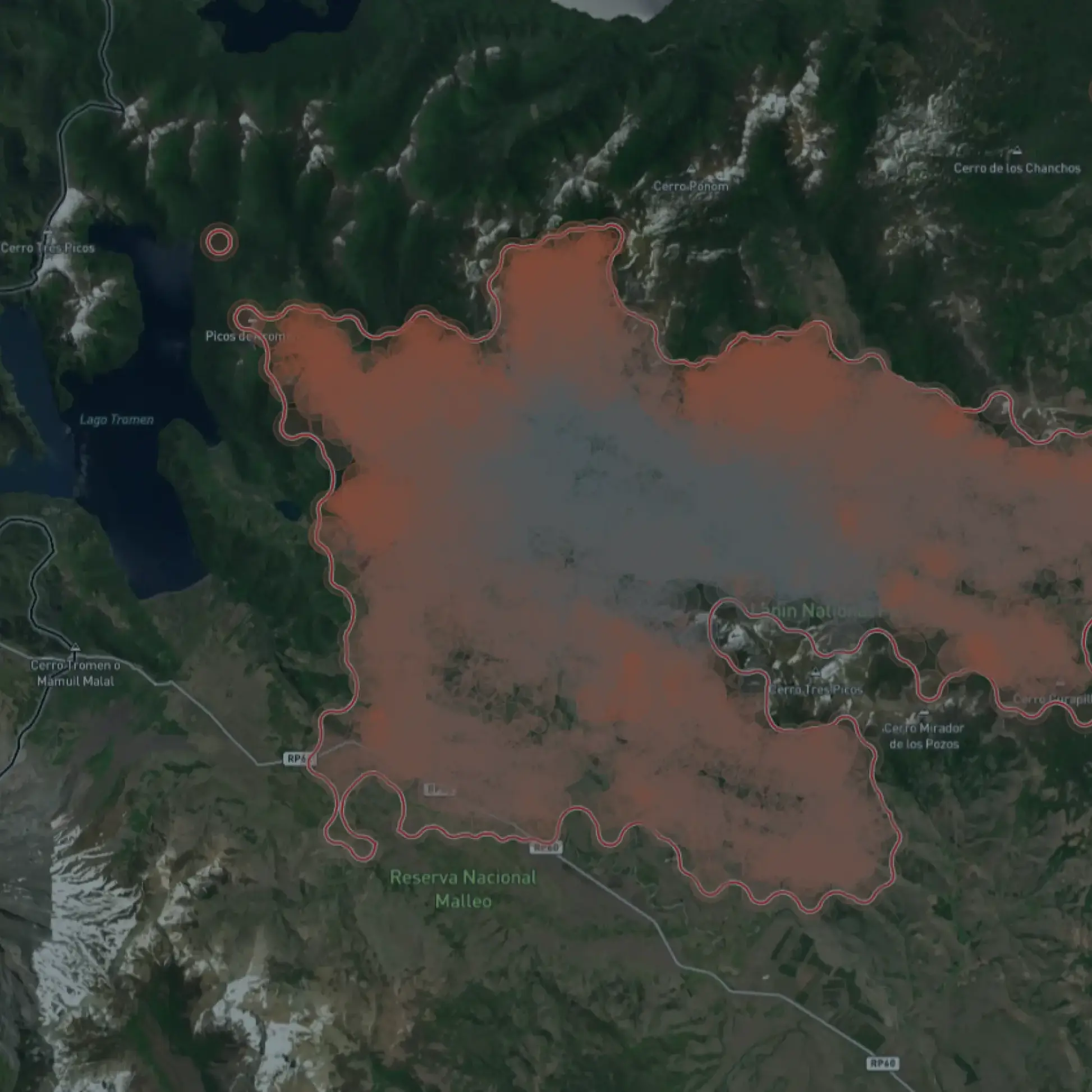
Track fire development, perimeter and impact in one operational platform.

Predict what happens next
Use fire spread simulations and hazard forecasts to prepare before fires escalate.
Trusted by wildfire agencies, governments, and enterprises worldwide
Browse powerful examples of how OroraTech made a difference when it mattered most.
Operating across 6 continents
Millions of hectares monitored daily
35+ satellites connected
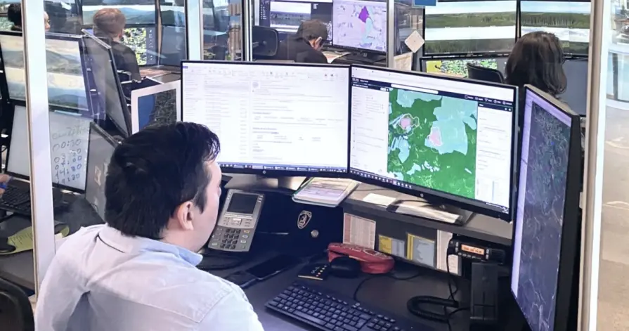

ARAUCO Chile
“OroraTech’s data and team support enabled our team to concentrate on the crucial task of combating the fires, especially at night when visibility and aircraft resources are scarce for having an overall overview of the situation.”

German N., Head of Forest Fire Protection
OroraTech & ARAUCO: Battling Devastating Fires in Chile
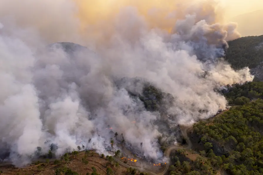
Hellenic Fire Service
"OroraTech’s wildfire intelligence has been a great tool for us. We received immediate notifications of almost every new fire, the ones in isolated areas gave us the opportunity to act rapidly, dispatching and managing our resources efficiently. The detection of fires on Greece’s borders with Albania, North Macedonia, and Bulgaria allows us to coordinate water sources and emergency responses across regions. The visualized fire perimeters, especially in the case of Varnavas fire help us realise the development of this EWE. I am looking forward to the future of fire spread modeling, early detection, and so much more!"

Zisoula N., Fire Colonel
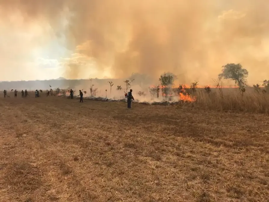

USFS Niassa National Reserve
"The Niassa Special Reserve in northern Mozambique faces a huge problem of forest fires that every year cause environmental, social, and economic damages. Thanks to OroraTech's WFS we are able to monitor the wildfires as well as gather the information needed to analyze their spatio-temporal pattern which is a very important component for the designing of an integrated fire management plan to address this problem within this conservation area."

Leonel M., Field Specialist
On a Mission To Save the Niassa Special Reserve: Home of the Last Great Elephant Population
Ready before the next wildfire starts?
See how emergency agencies, utilities and forestry teams use satellite intelligence to detect fires earlier and respond faster.
Frequently asked before booking
How quickly can we start?
Usually within days.
Can this integrate into our GIS?
Yes. API and standard formats.
Does it work globally?
Yes. Monitor any region worldwide.
Who uses it?
Emergency agencies, utilities, forestry organizations, insurers and governments.
Your question is not here?
One solution, tailored to your needs
Whether you protect forests, infrastructure, or communities, OroraTech gives you the intelligence to act in time.
Civil protection
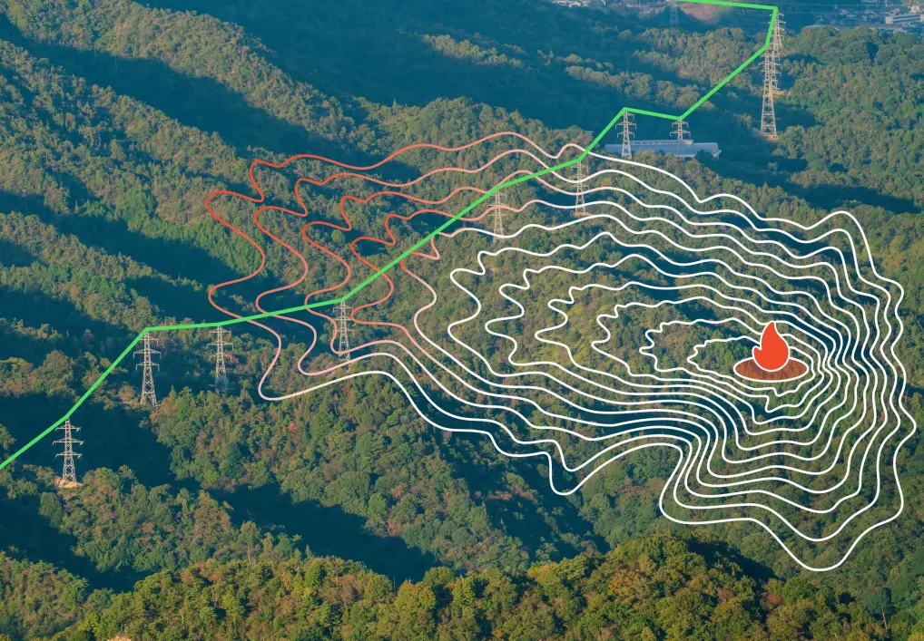
Infrastructure & energy
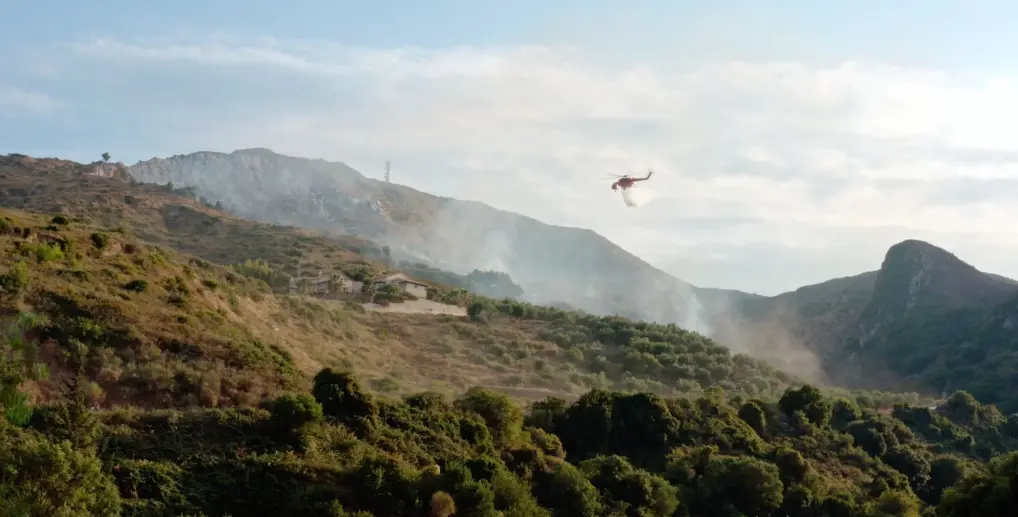
Forestry
Carbon
Climate
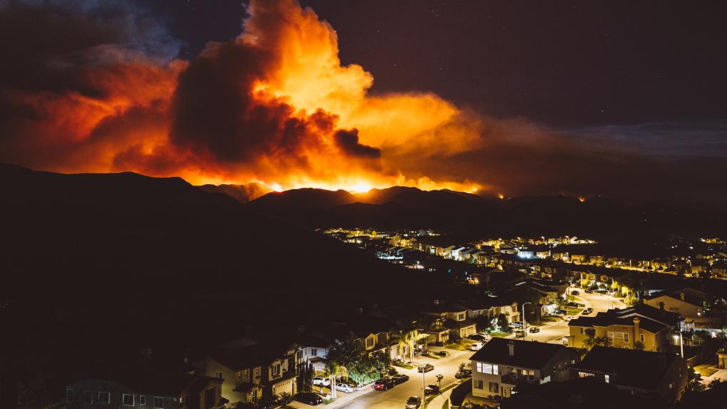
Insurance
Read the latest OroraTech news & updates
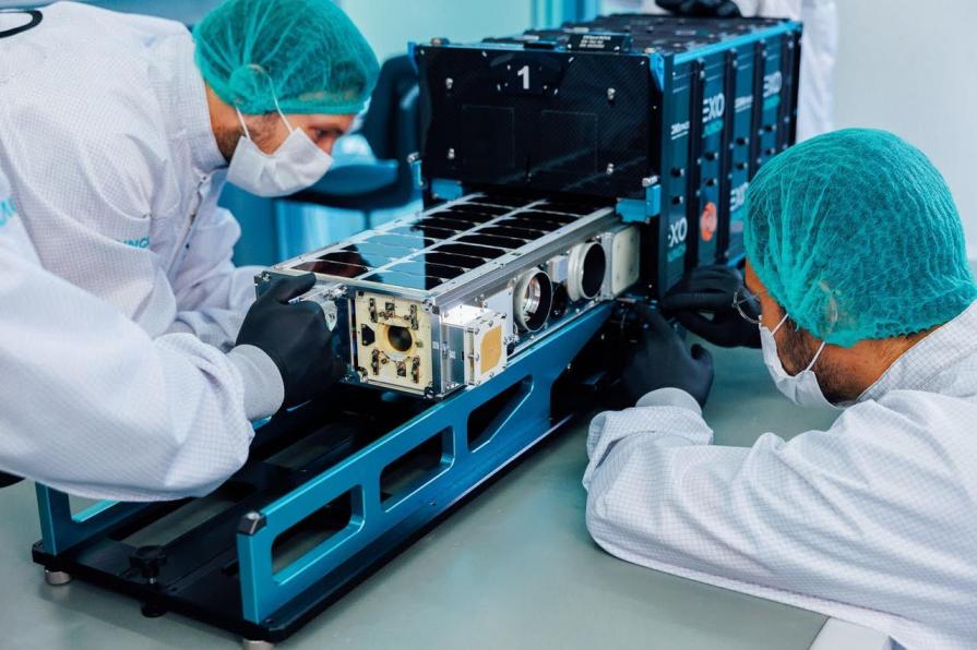
OroraTech Launches FOREST-20 as Thermal Constellation Reaches 20 Satellites in Orbit
Alabama Forestry Commission Deploys OroraTech Satellite Technology to Support Prescribed Burns, Wildfire Response